1990s Maps of Fremont County, Wyoming
Explore 60 historic maps of Fremont County from the 1990s. These maps offer a rare glimpse into what life looked like during the 1990s — showing old roads, neighborhoods, homes, and landmarks that have changed or disappeared over time.
Whether you're researching your family's past, planning a metal detecting trip, or studying how Fremont County's landscape evolved across the 1990s, these high-resolution maps are a powerful tool for exploring the history of this region.
- Focus on a specific era: All maps on this page are from the 1990s, giving you a focused view of this time period.
- See what’s changed: Compare century-old streets, trails, and buildings to today's modern landscape using overlays and satellite layers.
- Research with precision: Use these maps for genealogy, historical research, land use analysis, or educational projects.
- View, download, or print: Maps are fully viewable online in high resolution, and can be downloaded or printed for your own records.
Start exploring Fremont County's history through authentic maps from the 1990s. This is your window into the past.
Fremont County, WY maps
(60)- 1991 Map of Younts Peak
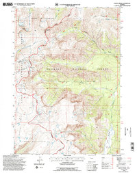 1991 Younts Peak1991 Print · USGSHigh-elevation wilderness in the 1990s marks the meeting point of three national forests along the Continental Divide. Trace the remote headwaters of the South Fork Yellowstone River and landmarks like Younts Peak.2 unique versions available
 - 1991 Map of Francs Peak, 1995 Print
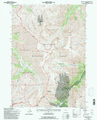 1991 Francs Peak1995 Print · USGSMining activity in the Absaroka Range is captured here during the early nineties, centered on the high-elevation camp at Kirwin. Trace historical operations at the Gold Reef Tunnel, Anaconda Mine, and Muncie Tunnel.2 unique versions available
 - 1991 Map of Fossil Hill, 1997 Print
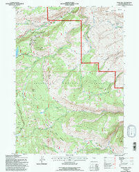 1991 Fossil Hill1997 Print · USGSThe high-elevation wilderness of the Shoshone National Forest is captured here in the early nineties. Researchers and hikers can trace the unique hydrology of Sinks Canyon State Park, the University of Missouri Geology Camp, and the heights of the Freak Mountains.
 - 1991 Map of Miners Delight, 1997 Print
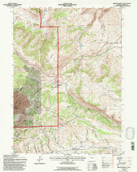 1991 Miners Delight1997 Print · USGSFremont County's gold mining heritage is preserved in this late-century revision of the Shoshone National Forest. Researchers can trace the legacy of the Old West at the Miners Delight historical site and locate specific claims like the Caribou Mine and Diana Mine.
 - 1991 Map of Mount Burwell, 1997 Print
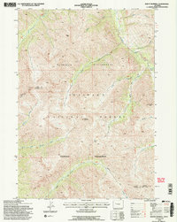 1991 Mount Burwell1997 Print · USGSThe high Absaroka backcountry of Park County is captured here in the early 1990s, showcasing a landscape of protected wilderness and federal forest land. Researchers can trace the rugged headwaters of the Greybull River and locate remote landmarks like Mount Burwell and Burwell Pass.2 unique versions available
 - 1991 Map of East Fork Basin, 1997 Print
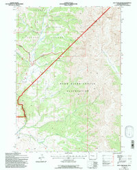 1991 East Fork Basin1997 Print · USGSHigh-country terrain in the early 1990s meets the Wind River Indian Reservation along a stark diagonal boundary. You can trace 4WD trails to a remote Landing Strip or explore landmarks like Wiggins Peak and Mountain Meadows.
 - 1991 Map of Twin Peaks, 1997 Print
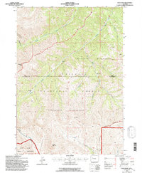 1991 Twin Peaks1997 Print · USGSThe Absaroka Range in the early nineties is a place of deep wilderness and high summits at the meeting point of three Wyoming counties. Backcountry researchers can trace the historic boundaries of the Washakie Wilderness and Wind River Indian Reservation near Twin Peaks and Standard Peak.
 - 1991 Map of Snow Lake, 1997 Print
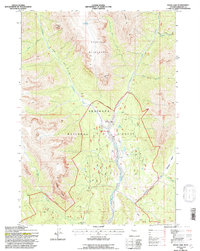 1991 Snow Lake1997 Print · USGSThe high backcountry of Fremont County comes into focus in the early nineties, centered on the Washakie Wilderness and its drainage network. Researchers can trace remote routes and mountain landmarks like Double Cabin, Snow Lake, and the Wiggins Fork Trail.
 - 1991 Map of Lizard Head Peak, 1997 Print
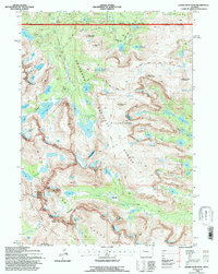 1991 Lizard Head Peak1997 Print · USGSThe high peaks of the Wind River Range are captured here in the early nineties, showing a landscape defined by the Continental Divide. Trace the paths through Jackass Pass or locate alpine landmarks like Lonesome Lake, Lizard Head Peak, and War Bonnet Peak.
 - 1991 Map of Fish Creek Park, 1997 Print
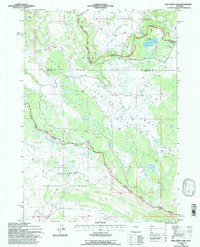 1991 Fish Creek Park1997 Print · USGSThe high alpine country of the Wyoming Rockies is captured here in the early nineties, centered on the crossing of the Continental Divide. Outdoor historians and researchers can trace the historic Union Pass and locate the Work Camp nestled near Fish Creek Park.
 - 1991 Map of Dubois, 1997 Print
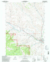 1991 Dubois1997 Print · USGSIn the early nineties, the ranching country around the Wind River showed a landscape of transitioning infrastructure. Researchers can trace the town of Dubois alongside unique landmarks like the Natural Bridge and Shipley Ranch.
 - 1991 Map of Ink Wells, 1997 Print
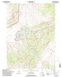 1991 Ink Wells1997 Print · USGSThe high country of the Wind River Range is captured in the early nineties, showcasing the alpine geography of the Fitzpatrick Wilderness. Researchers can trace the Glacier Trail past the Ink Wells and family-named sites like Williamson Corrals.
 - 1991 Map of Ramshorn Peak, 1997 Print
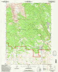 1991 Ramshorn Peak1997 Print · USGSFremont County’s high mountain basins and timber history are preserved here in the early nineties, showing the rugged interface of wilderness and national forest. Researchers can locate remote landmarks like the Fisher Tie Camp, Amoretti Park, and Ramshorn Peak.
 - 1991 Map of Anderson Ridge, 1997 Print
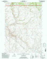 1991 Anderson Ridge1997 Print · USGSThe high Continental Divide in the early 1990s reveals a wilderness of national forest boundaries and headwater streams. Trace the high-altitude routes along Anderson Ridge and locate remote landmarks like the Shelter House and Monument Spring.
 - 1991 Map of Monument Peak, 1997 Print
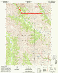 1991 Monument Peak1997 Print · USGSThe Wind River Indian Reservation and Shoshone National Forest converge in the Wyoming high country during the early nineties. Forest researchers and hikers can trace the Basin Trail Ridge past the Muddy Monument Peak Lookout and the Washakie Needles.
 - 1991 Map of Fremont Peak North, 1997 Print
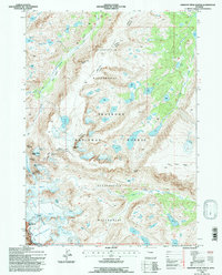 1991 Fremont Peak North1997 Print · USGSThe Wind River Range is captured in detail during the early 1990s, showcasing a landscape of high summits and active ice fields along the Continental Divide. Hikers and historians can trace routes through Indian Pass and identify landmarks like Mount Sacagawea and the Gannett Glacier.
 - 1991 Map of Torrey Lake, 1997 Print
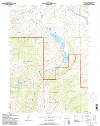 1991 Torrey Lake1997 Print · USGSFremont County's high-altitude lake basins and wilderness peaks are captured here just before the turn of the millennium. Researchers can locate remote landmarks like the State Fish Hatchery, the Ranch sites near Torrey Lake, and the high ridges of Whiskey Mountain.
 - 1991 Map of Downs Mountain, 1997 Print
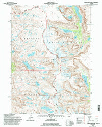 1991 Downs Mountain1997 Print · USGSThe high Wind River Range is captured in the early nineties as the Continental Divide winds through glacial fields and alpine lakes. Researchers can trace the massive Downs Glacier and identify remote landmarks like Torrey Peak and Ross Lake.
 - 1991 Map of Kisinger Lakes, 1997 Print
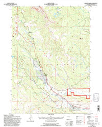 1991 Kisinger Lakes1997 Print · USGSHigh in the Shoshone National Forest during the early nineties, this map documents a landscape of alpine lakes and timber history. Researchers can trace the seasonal Pinnacle Heights Summer Home Group and the Tie Hack Historical Monument along the Wind River.
 - 1991 Map of Sheridan Pass, 1997 Print
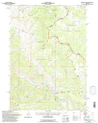 1991 Sheridan Pass1997 Print · USGSThe high Wind River Range comes into focus during the early nineties, centered on the strategic Sheridan Pass. Researchers can trace the path of the Continental Divide and locate remote landmarks like the Hunting Camp and Buckskin Point.
 - 1991 Map of South Pass City, 1997 Print
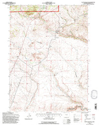 1991 South Pass City1997 Print · USGSFremont County's mining history is preserved in this nineties-era survey of the high country. Trace the heritage of South Pass City through its surrounding claims, including the Carissa Mine, B&H Mine, and the local Cem.
 - 1991 Map of Dunrud Peak, 1997 Print
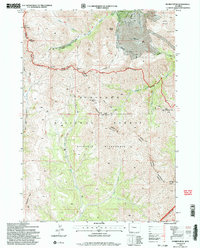 1991 Dunrud Peak1997 Print · USGSThe high Absaroka wilderness at the start of the 1990s is captured here at the triple junction of Fremont, Park, and Hot Springs counties. Researchers can trace remote alpine routes like the Bear Creek Trail across East Fork Pass to peaks such as Dunrud Peak and Spar Mountain.2 unique versions available
 - 1991 Map of Wolf Point, 1997 Print
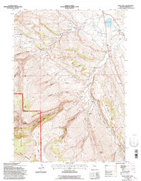 1991 Wolf Point1997 Print · USGSFremont County ranching and mountain landscapes are captured here during the 1990s as the high-country economy evolved. Genealogists and local historians can trace legacy sites like the Little Popo Agie Cem, the Madison Creek Sch, and family holdings such as the Macfie Ranch.
 - 1991 Map of Gannett Peak, 1997 Print
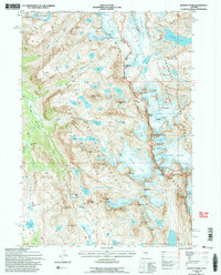 1991 Gannett Peak1997 Print · USGSThe Wind River Range in the early nineties features the state's highest point and a complex network of alpine glaciers. Trace the high-altitude routes of the High Line Trail past Gannett Peak, Dinwoody Glacier, and the Titcomb Lakes.2 unique versions available
 - 1991 Map of Fish Lake, 1997 Print
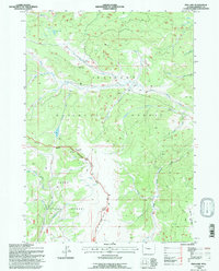 1991 Fish Lake1997 Print · USGSThe high divide of western Wyoming is captured here in the early nineties as the boundary between two national forests. Trace remote backcountry landmarks like the Red Flat Cow Camp, the Lake of the Woods Trail, and the peaks of Fish Lake Mountain.
Showing maps 1-25 of 60
Top cities of Fremont County
- Riverton historical maps
- Lander historical maps
- Fort Washakie historical maps
- Ethete historical maps
- Dubois historical maps
- Shoshoni historical maps
See more
Frequently asked questions
- What are the different types of historical maps available for Fremont County?
- What is the oldest map of Fremont County?
- Where can I purchase historical maps of Fremont County for my home or office?
- Where can I download high-res historical maps of Fremont County?
- Are there historical topographic maps available for Fremont County?
- Is there historical aerial imagery available for Fremont County?
- Where are historical maps of Fremont County sourced from?