2010s Maps of Fremont County, Wyoming
Explore 603 historic maps of Fremont County from the 2010s. These maps offer a rare glimpse into what life looked like during the 2010s — showing old roads, neighborhoods, homes, and landmarks that have changed or disappeared over time.
Whether you're researching your family's past, planning a metal detecting trip, or studying how Fremont County's landscape evolved across the 2010s, these high-resolution maps are a powerful tool for exploring the history of this region.
- Focus on a specific era: All maps on this page are from the 2010s, giving you a focused view of this time period.
- See what’s changed: Compare century-old streets, trails, and buildings to today's modern landscape using overlays and satellite layers.
- Research with precision: Use these maps for genealogy, historical research, land use analysis, or educational projects.
- View, download, or print: Maps are fully viewable online in high resolution, and can be downloaded or printed for your own records.
Start exploring Fremont County's history through authentic maps from the 2010s. This is your window into the past.
Fremont County, WY maps
(603)- 2012 Map of Miles Ranch, 2012 Print
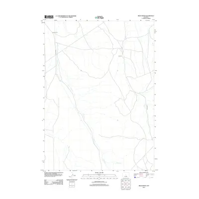 2012 Miles Ranch2012 Print · USGSNatrona County ranch lands are documented here in the early twenty-first century, showing a landscape shaped by water and livestock. Genealogists and land researchers can locate Miles Ranch and Thompson Ranch along the banks of Canyon Cr.
 - 2012 Map of Rongis Reservoir SE, 2012 Print
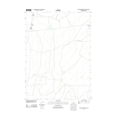 2012 Rongis Reservoir SE2012 Print · USGSFremont County, Wyoming, is shown here in the early twenty-first century as a landscape of resource extraction and arid-land water management. Researchers can trace historic transit routes like Old Lander Casper Rd and locate the Muskrat Oil Field and Sherlock Reservoir.
 - 2012 Map of Muskrat Basin, 2012 Print
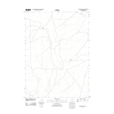 2012 Muskrat Basin2012 Print · USGSFremont County ranching and basin lands are captured here in the early twenty-first century. Researchers can trace the pathways of the Ore Rd or locate high-country landmarks like the Sherlock Shearing Pens and Indian Grove.
 - 2012 Map of Rongis Reservoir, 2012 Print
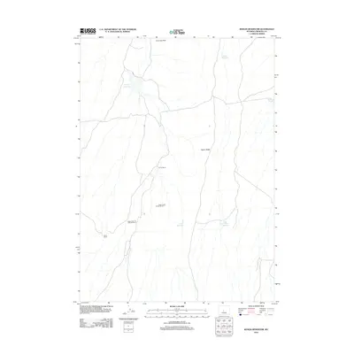 2012 Rongis Reservoir2012 Print · USGSFremont County ranching and energy operations are documented here in the high Wyoming basins during the early twenty-first century. Researchers can locate remote outposts like Grives Ranch alongside industrial sites such as Logan Gulch Oil Well Number 1.
 - 2012 Map of Sagebrush Park, 2012 Print
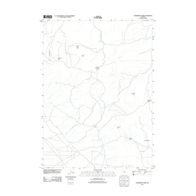 2012 Sagebrush Park2012 Print · USGSSweetwater County ranching and mountain terrain are captured here in the early twenty-first century. Researchers can trace the layout of family holdings like Hadsell Ranch and Stratton Ranch alongside landmarks like Whiskey Peak.
 - 2012 Map of Lankin Dome, 2012 Print
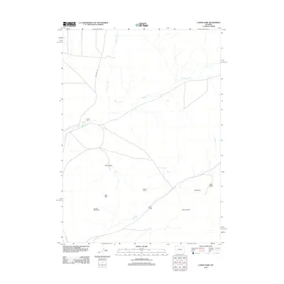 2012 Lankin Dome2012 Print · USGSNatrona County's high-desert ranching country is documented here during the early twenty-first century. Genealogists and historians can trace local landmarks like the Murphy Ranch and study the terrain around the Granite Mountains and Lankin Dome.
 - 2012 Map of Graham Ranch, 2012 Print
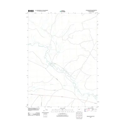 2012 Graham Ranch2012 Print · USGSFremont County ranch land and historic migration corridors are documented in the early twenty-first century. Researchers can trace the path of the Oregon Trl as it passes Ice Slough and the working grounds of Graham Ranch.
 - 2012 Map of Ervay Basin SW, 2012 Print
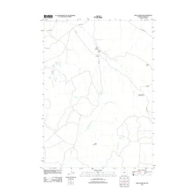 2012 Ervay Basin SW2012 Print · USGSThis Natrona County landscape in the early 2010s captures a remote ranching and grazing district centered on the high drainages of Ervay Basin. Researchers can trace land use through landmarks like Holiday Homestead, Strawhaker Corral, and the Gas Hills Airstrip.
 - 2012 Map of McIntosh Meadows, 2012 Print
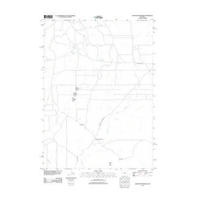 2012 McIntosh Meadows2012 Print · USGSNatrona County's high plains are mapped in detail during the early twenty-first century, showing a landscape shaped by water and freighting history. Researchers can trace the path of the Waltman Sweetwater Freight Rd and locate landmarks like Lamoreaux Cabin Springs and Agate Flats.
 - 2012 Map of Tin Cup Mountain, 2012 Print
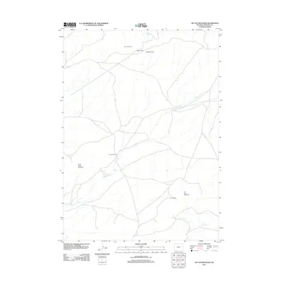 2012 Tin Cup Mountain2012 Print · USGSFremont County ranching and mining country is documented here in the early twenty-first century. Researchers can locate remote legacy sites like the Givens Homestead and Tin Cup Mine, or trace the vital water sources at Findlay Reservoir and Tin Cup Spring.
 - 2012 Map of Split Rock, 2012 Print
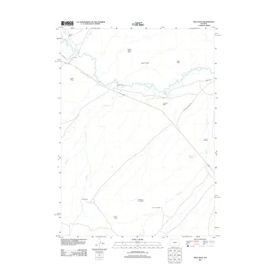 2012 Split Rock2012 Print · USGSNatrona County ranching and pioneer history intersect in this 2010s survey along the Sweetwater River valley. Trace the paths of the Oregon Trl and California Emigrant Rd past historic sites like Split Rock Ranch and Hat Ranch.
 - 2012 Map of Love Ranch, 2012 Print
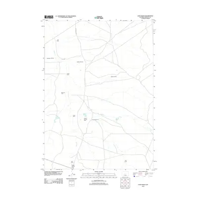 2012 Love Ranch2012 Print · USGSFremont County ranching life remains clear in this early 21st-century survey of the high plains. Researchers can trace the layout of isolated outposts like Love Ranch and Roberts Sheep Camp among drainages like Jumping-off Draw.
 - 2012 Map of Whiskey Peak, 2012 Print
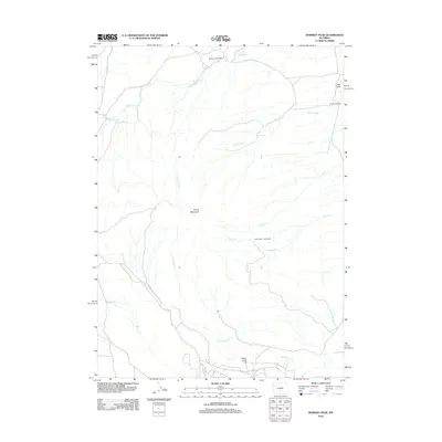 2012 Whiskey Peak2012 Print · USGSSweetwater County ranch lands and high desert terrain are documented here just after the first decade of the millennium. Genealogists and local historians can locate specific family legacy sites including the Diamond Hook Ranch, the Tilly Homestead, and the Joe Wimmer Homestead.
 - 2012 Map of Stampede Meadow, 2012 Print
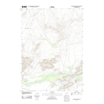 2012 Stampede Meadow2012 Print · USGSFremont County ranchlands and the historic corridor of the Oregon Trl are documented here in the early 2010s. Researchers can trace the path of the Sweetwater River past isolated outposts like McIntosh Ranch and Claytor Ranch.
 - 2012 Map of Puddle Springs, 2012 Print
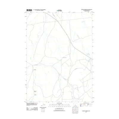 2012 Puddle Springs2012 Print · USGSFremont County, Wyoming, is shown here as a landscape of isolated family holdings and vital water sources in the early twenty-first century. Genealogists can locate named sites like the Sherlock Homestead and Ramsey Homestead or trace routes along Ore Rd.
 - 2012 Map of Coyote Springs, 2012 Print
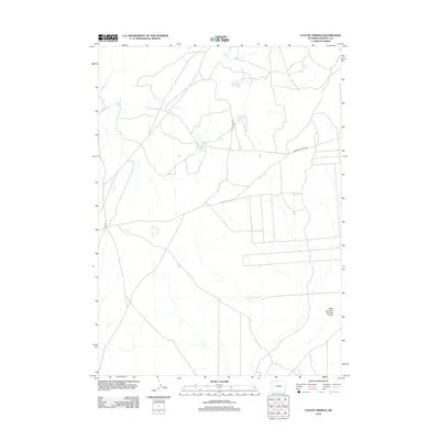 2012 Coyote Springs2012 Print · USGSFremont County's high desert landscape is captured here in the early 2010s, defined by its critical water points and remote trail networks. Researchers can trace the paths of Black Rock Rd and locate vital desert water sources like Wild Horse Springs and Mud Springs.
 - 2012 Map of Butte Well, 2012 Print
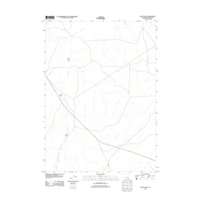 2012 Butte Well2012 Print · USGSFremont County, Wyoming, is shown here in the early 2010s as a quiet expanse of high-desert ranch land. Researchers can trace the essential water sources of the era, from the Leitch Reservoir to family-named landmarks like McKenzie Windmill.
 - 2012 Map of Brenton Springs, 2012 Print
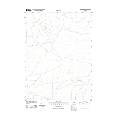 2012 Brenton Springs2012 Print · USGSSweetwater County's high desert landscape comes into focus during this early 21st-century survey, showcasing a mix of industrial resource extraction and vital water management. You can trace early 20th-century routes like the 3 Forks-Atlantic City Rd and locate the namesake Brenton Springs and East Antelope Gas Field.
 - 2012 Map of Double Butte, 2012 Print
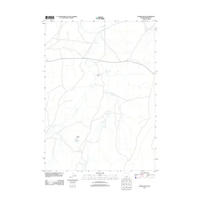 2012 Double Butte2012 Print · USGSFremont County, Wyoming, is shown in the early 2000s as a region defined by high-plains ranching and essential water catchments. Researchers can trace the local hydrology through landmarks like Double Butte, Logan Gulch, and the North Logan Reservoir.
 - 2012 Map of Black Rock Gap, 2012 Print
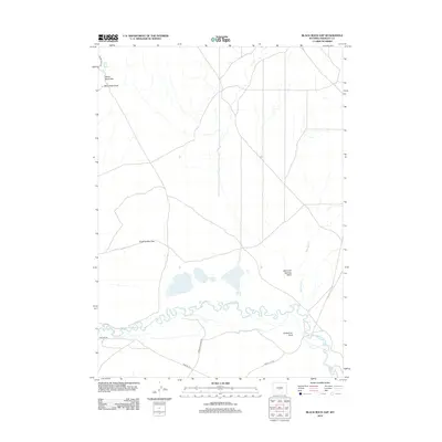 2012 Black Rock Gap2012 Print · USGSThe historic migration path along the Oregon Trl dominates this portion of the Wyoming landscape north of the Green Mountains. Researchers can trace the path of early travelers alongside the Sweetwater River and locate landmarks like Jamerman Rock.
 - 2012 Map of Yellowstone Point, 2012 Print
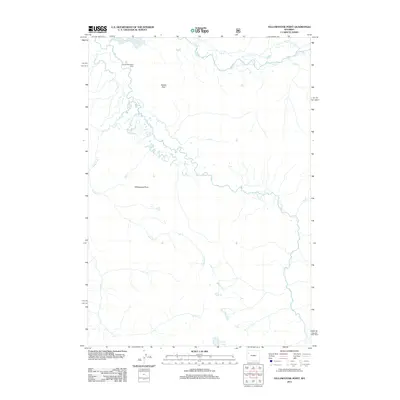 2012 Yellowstone Point2012 Print · USGSFremont County, Wyoming, remains a wilderness sanctuary in this early twenty-first-century survey of the high backcountry. You can trace the path of the Yellowstone River and locate the remote Hawks Rest Patrol Cabin near Bridger Lake.
 - 2012 Map of Temple Peak, 2012 Print
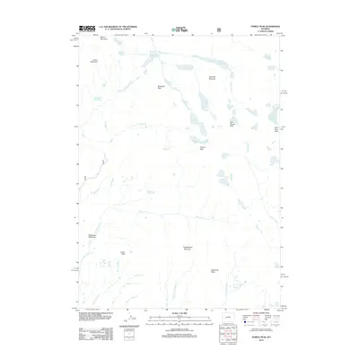 2012 Temple Peak2012 Print · USGSHigh alpine summits and glacial lakes define this Wyoming wilderness in the early twenty-first century. Researchers can trace the source of the Big Sandy River and locate remote landmarks like Wind River Peak, Temple Lake, and Sedgewick Meadows.
 - 2012 Map of Halls Mountain, 2012 Print
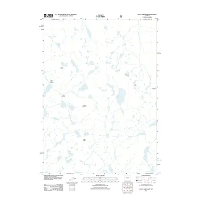 2012 Halls Mountain2012 Print · USGSThe Wyoming high country in the early twenty-first century is revealed here through its network of alpine peaks and glacial basins. Trace the rugged terrain surrounding Halls Mountain, the granite spires of the Pipe Organ, and the waters of Lake Isabella.
 - 2012 Map of Washakie Park, 2012 Print
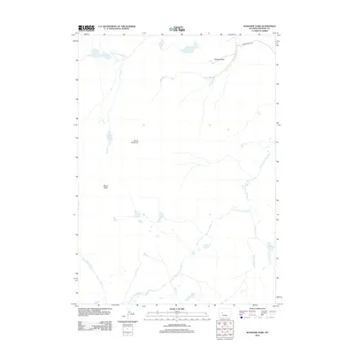 2012 Washakie Park2012 Print · USGSWashakie Park and the surrounding peaks of Fremont County are documented here in the early twenty-first century. Outdoor enthusiasts and researchers can trace the high-elevation drainage of S Fork Little Wind River and find landmarks like Mount Shoshone and Shoshone Lake.
 - 2012 Map of Roberts Mountain, 2012 Print
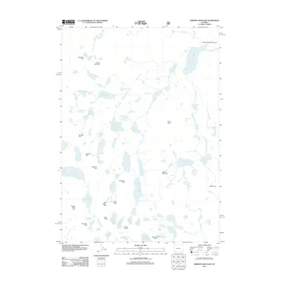 2012 Roberts Mountain2012 Print · USGSThe high alpine wilderness of the Wind River Range is captured here in the early twenty-first century, showcasing a vast network of glacial lakes and peaks. Hikers and cartographic researchers can trace routes through Kagevah Pass or locate remote waters like Lake Solitude and Raft Lake.
Showing maps 1-25 of 603
Top cities of Fremont County
- Riverton historical maps
- Lander historical maps
- Fort Washakie historical maps
- Ethete historical maps
- Dubois historical maps
- Shoshoni historical maps
See more
Frequently asked questions
- What are the different types of historical maps available for Fremont County?
- What is the oldest map of Fremont County?
- Where can I purchase historical maps of Fremont County for my home or office?
- Where can I download high-res historical maps of Fremont County?
- Are there historical topographic maps available for Fremont County?
- Is there historical aerial imagery available for Fremont County?
- Where are historical maps of Fremont County sourced from?