1980s Maps of Fremont County, Wyoming
Explore 20 historic maps of Fremont County from the 1980s. These maps offer a rare glimpse into what life looked like during the 1980s — showing old roads, neighborhoods, homes, and landmarks that have changed or disappeared over time.
Whether you're researching your family's past, planning a metal detecting trip, or studying how Fremont County's landscape evolved across the 1980s, these high-resolution maps are a powerful tool for exploring the history of this region.
- Focus on a specific era: All maps on this page are from the 1980s, giving you a focused view of this time period.
- See what’s changed: Compare century-old streets, trails, and buildings to today's modern landscape using overlays and satellite layers.
- Research with precision: Use these maps for genealogy, historical research, land use analysis, or educational projects.
- View, download, or print: Maps are fully viewable online in high resolution, and can be downloaded or printed for your own records.
Start exploring Fremont County's history through authentic maps from the 1980s. This is your window into the past.
Fremont County, WY maps
(20)- 1980 Map of Farson, 1981 Print
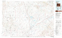 1980 Farson1981 Print · USGSSettlement in the high desert of Sweetwater County is centered on Farson and Eden during the 1980s. Researchers can trace the path of the Dry Sandy Stage and Pony Express Sta (Site) and explore the vast Sand Dunes near Steamboat Rim.
 - 1981 Map of Jackson Lake
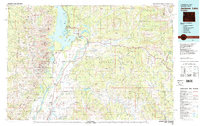 1981 Jackson Lake1981 Print · USGSGrand Teton National Park and its surrounding wilderness are captured here in the early eighties. Researchers can trace high-altitude peaks like Mount Moran down to valley landmarks such as Jackson Lake Lodge, Colter Bay Village, and the Jackson Hole Airport.2 unique versions available
 - 1981 Map of Moccasin Lake
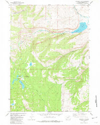 1981 Moccasin Lake1981 Print · USGSThe Wind River Indian Reservation in the early 1980s is captured here as a landscape of glacial lakes and mountain peaks. Researchers can trace the access routes and water systems of the era, from the Washakie Reservoir to remote landmarks like Mount Popo Agie and Moccasin Lake.3 unique versions available
 - 1981 Map of Jackson
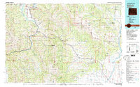 1981 Jackson1981 Print · USGSThe high valleys and peaks surrounding Jackson were undergoing subtle transitions in the early eighties. Genealogists and researchers can trace old mountain outposts like Bondurant, the location of Camp Davis, and the roads leading to Astoria Mineral Hot Springs.
 - 1981 Map of Lizard Head Peak
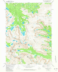 1981 Lizard Head Peak1981 Print · USGSThe high Wind River Range comes into focus in the early 1980s, following the Continental Divide across the Wyoming wilderness. Tracing the Wind River Indian Reservation Boundary, you can locate Washakie Glacier, Lizard Head Peak, and the peaks of The Towers.4 unique versions available
 - 1981 Map of Rattlesnake Hills
 1981 Rattlesnake Hills1981 Print · USGSThe high central Wyoming desert comes into focus in the early 1980s, revealing a landscape defined by the Beaver Divide and the Granite Mountains. Genealogists and researchers can locate the remote Lucky Mac Camp, industrial mines, and seasonal landmarks like Buffalo Wallows or Puddle Springs.
 - 1981 Map of Dickinson Park
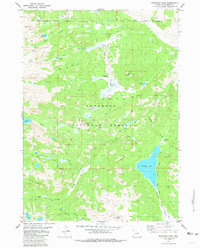 1981 Dickinson Park1981 Print · USGSThe Wind River Range backlands are captured here in the early eighties, showing the intersection of tribal and forest lands. Trace historical routes like the Bears Ears (Pack) Trail and North Fork Trail toward Shoshone Lake.3 unique versions available
 - 1981 Map of Pinedale, 1982 Print
 1981 Pinedale1982 Print · USGSThe Wind River foothills meet the Wyoming high desert in the early eighties, where cattle ranching and wilderness preservation coexist. Genealogists and historians can trace the historic Oregon Trail or locate family sites near Pinedale, Boulder, and the Wind River Indian Reservation.3 unique versions available
 - 1981 Map of Halls Mountain, 1982 Print
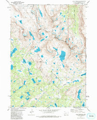 1981 Halls Mountain1982 Print · USGSThe high country of the Wind River Range is captured in the early eighties, where the Continental Divide meets the Wind River Indian Reservation Boundary. Trace old alpine routes like the Highline Trail past Lake Victor and Halls Butte.
 - 1981 Map of Roberts Mountain, 1982 Print
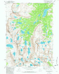 1981 Roberts Mountain1982 Print · USGSHigh in the Wind River Range during the early eighties, this survey captures the intersection of the Continental Divide and the Wind River Indian Reservation. Researchers can trace remote pack trails leading to alpine landmarks like Lake Solitude, Mount Lander, and Photo Pass.2 unique versions available
 - 1981 Map of Thermopolis, 1982 Print
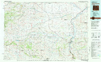 1981 Thermopolis1982 Print · USGSCentral Wyoming in the early eighties shows a landscape of geothermal wonders and energy extraction. Trace the legacy of early settlements and industry near Hot Springs State Park, the rail lines of the Burlington Northern, and outposts like Gebo and Hamilton Dome.
 - 1981 Map of Mount Bonneville, 1982 Print
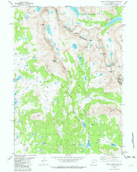 1981 Mount Bonneville1982 Print · USGSThe high Wind River Range is captured in the early eighties as a network of trails and alpine passes. Trace the paths of early backcountry travelers across Hailey Pass, beneath Mount Bonneville, and along the shores of Grave Lake.3 unique versions available
 - 1981 Map of Washakie Park, 1984 Print
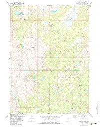 1981 Washakie Park1984 Print · USGSFremont County's high-country wilderness is documented here in the mid-1970s, showcasing the traditional pack-trail network of the Wind River Indian Reservation. Trace historical routes like the PACK TRAIL past Mount Shoshone to alpine waters like Shoshone Lake and Yahtic Lake.
 - 1982 Map of Lysite
 1982 Lysite1982 Print · USGSCentral Wyoming's high plains and mountain foothills are captured here in the early 1980s, centered on the ranching and rail outposts of Natrona and Fremont Counties. Genealogists and historians can trace the paths of the Burlington Northern and the Old Railroad Grade through Lysite, Lost Cabin, and Arminto.
 - 1982 Map of Yellowstone National Park South, 1983 Print
 1982 Yellowstone National Park South1983 Print · USGSThe southern reaches of Yellowstone and the Teton Wilderness are captured here in the early 1980s, showcasing a landscape of high plateaus and river headwaters. Trace the historic paths of the Two Ocean Pass Trail or locate remote outposts like Flagg Ranch and Grant Village.
 - 1984 Map of South Pass
 1984 South Pass1984 Print · USGSThe high Wyoming desert during the 1980s reveals a landscape where pioneer history and industrial mining converge. Trace the original paths of the Oregon Trail and Emigrant Trail past historic sites like South Pass City and the Tabor Grand Mine.2 unique versions available
 - 1984 Map of Ervay Basin SW, 1985 Print
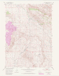 1984 Ervay Basin SW1985 Print · USGSThe high desert of Natrona County is captured here in the mid-twentieth century, showing a landscape defined by the Rattlesnake Hills and Beaver Rim. Genealogists and historians can trace old homesteading efforts at the Holiday Homestead (Aband) and follow the path of the historic Freight Road.
 - 1986 Map of Halls Meadow Spring
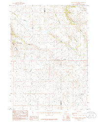 1986 Halls Meadow Spring1986 Print · USGSHigh mountain passes and the Continental Divide define this Wyoming backcountry during the mid-eighties. Genealogists and historians can trace the headwaters of the Sweetwater River and find isolated landmarks like Halls Meadow Spring.
 - 1988 Map of Casper
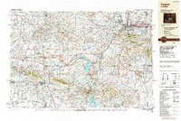 1988 Casper1988 Print · USGSHigh plains and mountain ranges define Central Wyoming in the late eighties, centered on the growth of the Casper urban corridor. Genealogists and researchers can trace the rail lines of the Chicago and North Western RR or locate small outposts like Jeffrey City and Bairoil.
 - 1989 Map of Yellowstone Point
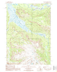 1989 Yellowstone Point1989 Print · USGSThe Teton Wilderness during the late eighties remains a landscape defined by its remote river confluences and backcountry trails. Researchers can trace historic access routes along the Thorofare Trail and locate isolated landmarks like the Hawks Rest Patrol Cabin or Bridger Lake.
End of results
Showing maps 1-20 of 20
Top cities of Fremont County
- Riverton historical maps
- Lander historical maps
- Fort Washakie historical maps
- Ethete historical maps
- Dubois historical maps
- Shoshoni historical maps
See more
Frequently asked questions
- What are the different types of historical maps available for Fremont County?
- What is the oldest map of Fremont County?
- Where can I purchase historical maps of Fremont County for my home or office?
- Where can I download high-res historical maps of Fremont County?
- Are there historical topographic maps available for Fremont County?
- Is there historical aerial imagery available for Fremont County?
- Where are historical maps of Fremont County sourced from?