2020s Maps of Goshen County, Wyoming
Explore 55 historic maps of Goshen County from the 2020s. These maps offer a rare glimpse into what life looked like during the 2020s — showing old roads, neighborhoods, homes, and landmarks that have changed or disappeared over time.
Whether you're researching your family's past, planning a metal detecting trip, or studying how Goshen County's landscape evolved across the 2020s, these high-resolution maps are a powerful tool for exploring the history of this region.
- Focus on a specific era: All maps on this page are from the 2020s, giving you a focused view of this time period.
- See what’s changed: Compare century-old streets, trails, and buildings to today's modern landscape using overlays and satellite layers.
- Research with precision: Use these maps for genealogy, historical research, land use analysis, or educational projects.
- View, download, or print: Maps are fully viewable online in high resolution, and can be downloaded or printed for your own records.
Start exploring Goshen County's history through authentic maps from the 2020s. This is your window into the past.
Goshen County, WY maps
(55)- 2021 Map of Lyman, 2021 Print
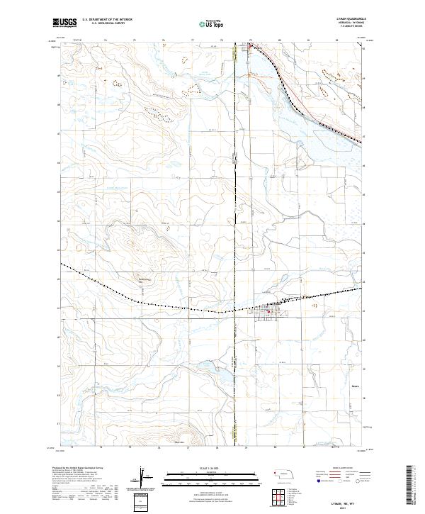 2021 Lyman2021 Print · USGSThe Nebraska-Wyoming border comes alive in this study of the High Plains irrigation economy at the dawn of the 2020s. Researchers can trace the complex water systems of Lyman and Henry, alongside landmarks like Rattlesnake Hill and Packer Lake.
 - 2021 Map of Carpenter Ranch, 2021 Print
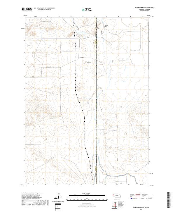 2021 Carpenter Ranch2021 Print · USGSThe high plains of the Nebraska and Wyoming border are shown here in the early twenty-first century, centered on local ranching operations. Researchers can trace land use through features like the Interstate Canal, Carpenter Ranch, and Hill Windmill.
 - 2021 Map of C S Ranch, 2021 Print
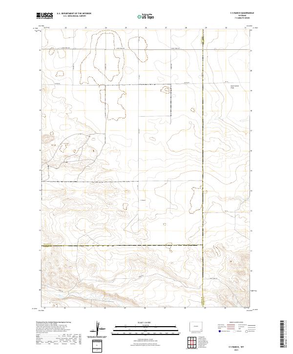 2021 C S Ranch2021 Print · USGSThe Platte County ranching frontier is captured here in the early twenty-first century. Researchers can trace the legacy of local landholdings through landmarks like C S Ranch and the natural terrain of the Iowa Center Flats.
 - 2021 Map of Duroc, 2021 Print
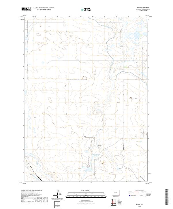 2021 Duroc2021 Print · USGSDuroc and the surrounding Goshen County plains are defined by early 21st-century water infrastructure and rural agriculture. Genealogists and historians can trace local land use through features like McMillan Reservoir, the Fort Laramie Canal, and Hawk Springs Ditch.
 - 2021 Map of Needle Rock, 2021 Print
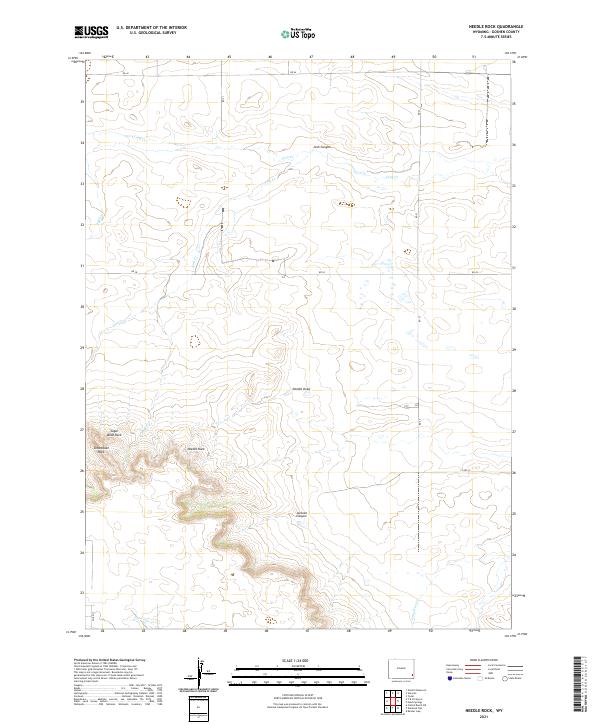 2021 Needle Rock2021 Print · USGSEastern Wyoming cattle country is mapped here in the early twenty-first century. Genealogists and land researchers can locate specific family-named landmarks like Needle Rock, Sugar Bowl Rock, and the drainages of Josh Canyon.
 - 2021 Map of Glomill Reservoir, 2021 Print
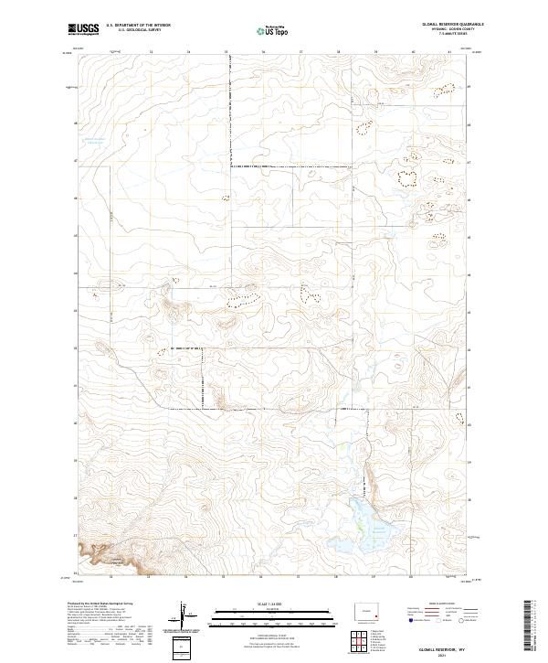 2021 Glomill Reservoir2021 Print · USGSGoshen County is seen here in the early twenty-first century, showing the critical water sources and high-plains topography of eastern Wyoming. Researchers can trace the sharp drop of the Goshen Hole Rim and local landmarks like Glomill Reservoir and Booth Rd.
 - 2021 Map of Y B O Canyon, 2021 Print
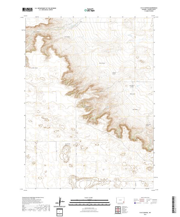 2021 Y B O Canyon2021 Print · USGSGoshen County's high plains and canyon breaks are captured here in the early twenty-first century. Researchers can trace landforms and family-named landmarks like Goshen Hole Rim, Sam Moore Canyon, and the Iowa Center Flats.
 - 2021 Map of Hawk Springs, 2021 Print
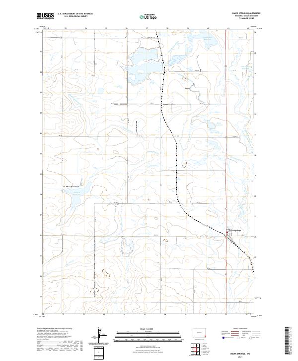 2021 Hawk Springs2021 Print · USGSThe Goshen County high plains are documented here in the early twenty-first century, showing a landscape defined by ranching and irrigation. Researchers can trace water rights and local landmarks like Goshen Hole Reservoir, the settlement of Fonda, and Sinnard Ditch.
 - 2021 Map of Cattail Ranch, 2021 Print
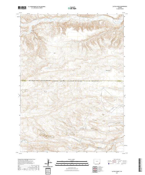 2021 Cattail Ranch2021 Print · USGSLaramie and Goshen counties meet in this 2021 study of Wyoming ranching country, showing the land as it appears today. Trace the seasonal flow of Cattail Cr and Horse Cr, or locate the historic Durbin Ditch near Cattail Ranch.
 - 2021 Map of McCompsey Pass, 2021 Print
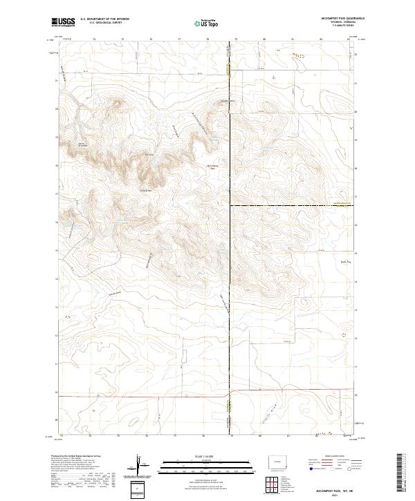 2021 McCompsey Pass2021 Print · USGSThe Wyoming and Nebraska borderlands in the early twenty-first century reveal a landscape of high summits and essential springs. Trace the geography of the High Plains through landmarks like Sixtysix Mtn, McCompsey Pass, and Devils Armchair.
 - 2021 Map of Petsch Reservoir, 2021 Print
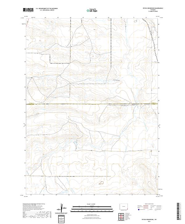 2021 Petsch Reservoir2021 Print · USGSThe borderlands of Laramie and Goshen Counties are documented here in the early twenty-first century, showing a landscape shaped by water and ranching. Researchers can trace irrigation history through Coad Ditch and Petsch Reservoir.
 - 2021 Map of Dickinson Hill, 2021 Print
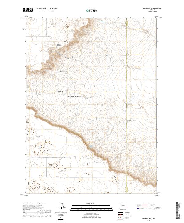 2021 Dickinson Hill2021 Print · USGSSoutheastern Wyoming's high plains are captured here in the early twenty-first century as the landscape straddles the Platte and Goshen county line. Researchers can trace the dramatic Goshen Hole Rim and locate local landmarks like Dickinson Hill and Forney Springs.
 - 2021 Map of Yoder, 2021 Print
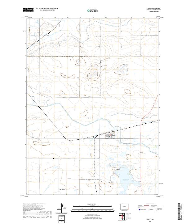 2021 Yoder2021 Print · USGSThe town of Yoder and its surrounding irrigation network are captured here in the early twenty-first century. Researchers can locate Grandview Cem and trace the complex water systems of the Fort Laramie Canal and Goshen Hole Reservoir.
 - 2021 Map of Cattail Ranch NE, 2021 Print
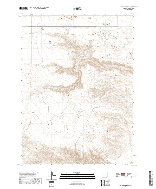 2021 Cattail Ranch NE2021 Print · USGSGoshen County's high plains are captured here in the early twenty-first century, showing a remote landscape shaped by water and ranching. Trace the wide expanse of Iowa Center Flats and the winding course of Fox Cr along local routes like Co Rd 15.
 - 2021 Map of Tremain, 2021 Print
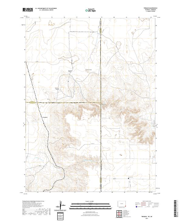 2021 Tremain2021 Print · USGSHigh plains ranching country at the Wyoming-Nebraska border comes into focus in this recent survey. Genealogists and local historians can locate Epworth Cemetery and trace the drainage of Stinking Water Creek near Tremain.
 - 2021 Map of Indian Hill, 2021 Print
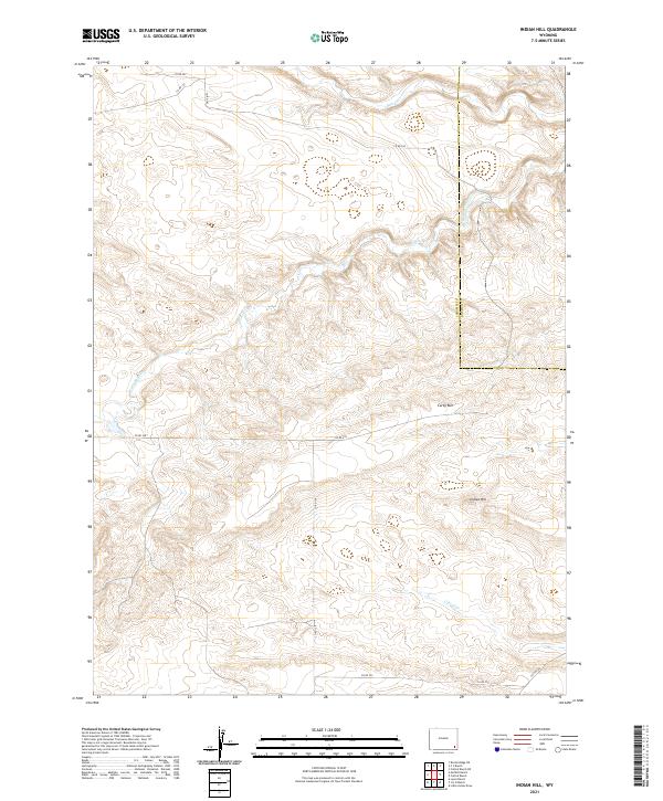 2021 Indian Hill2021 Print · USGSThe Laramie and Goshen county line country is captured here in the early twenty-first century, showing a landscape shaped by ranching and water rights. Genealogists and land historians can trace family holdings and local landmarks like Indian Hill, Garden Ditch, and Bear Cr.
 - 2021 Map of Diamond Flat, 2021 Print
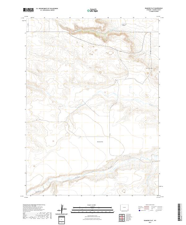 2021 Diamond Flat2021 Print · USGSGoshen County ranch land and high plateau country are documented here in the early twenty-first century. Researchers can trace the water-dependent settlement patterns along Diamond Flat and through the breaks of Lone Tree Canyon and Fox Creek Gap.
 - 2021 Map of Meriden, 2021 Print
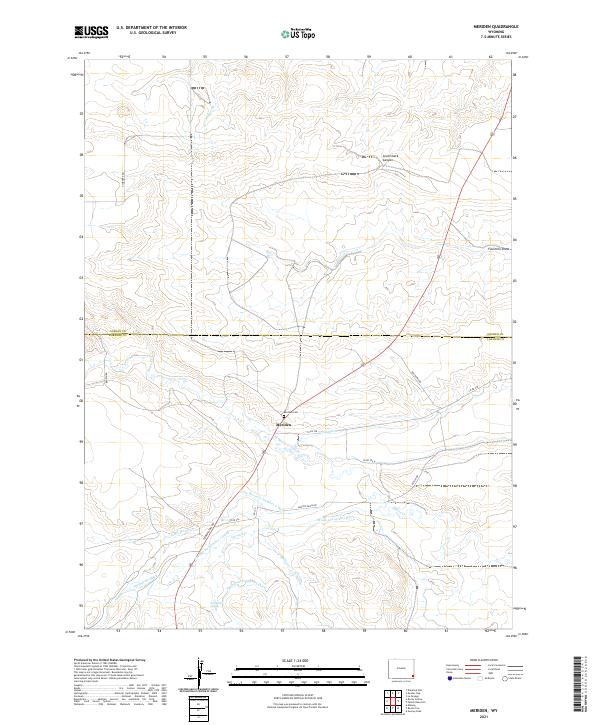 2021 Meriden2021 Print · USGSThe Meriden area at the Goshen and Laramie county line reveals a landscape shaped by rural ranching and irrigation in the early twenty-first century. Researchers can trace local water systems like Springvale Ditch and find landmarks such as the Meriden Cem and Sprinkler Geyser.
 - 2021 Map of Rocky Hollow, 2021 Print
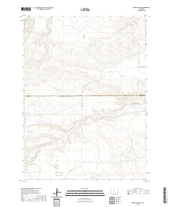 2021 Rocky Hollow2021 Print · USGSLaramie and Goshen counties meet in this Wyoming ranching landscape during the early 2020s. Researchers can trace the path of Horse Cr and locate specific rural landmarks like Rocky Hollow and the intersection at 4 Corners Rd.
 - 2021 Map of Prairie Center, 2021 Print
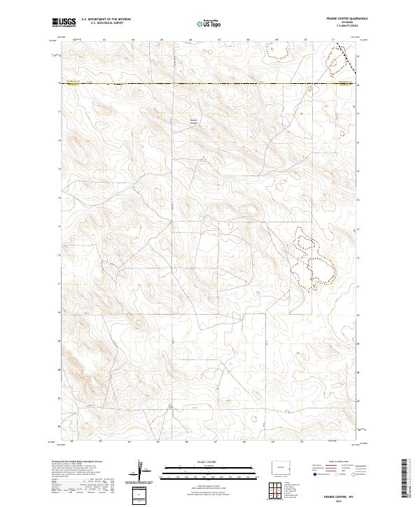 2021 Prairie Center2021 Print · USGSPrairie Center and the surrounding high plains ranchlands are documented here in the early twenty-first century. Genealogists and historians can trace local travel routes like Co Rd 6 and the layout of the Prairie Center settlement near Rd 18.
 - 2021 Map of Spoon Butte SW, 2021 Print
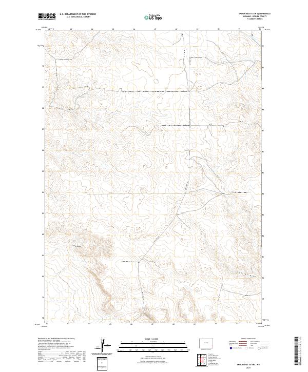 2021 Spoon Butte SW2021 Print · USGSThe high plains of Goshen County come into focus in this contemporary survey of eastern Wyoming. Researchers can trace the rugged topography of Castle Rocks and the drainage patterns of George Draw along the historic Van Tassell Rd.
 - 2021 Map of Red Cloud Creek East, 2021 Print
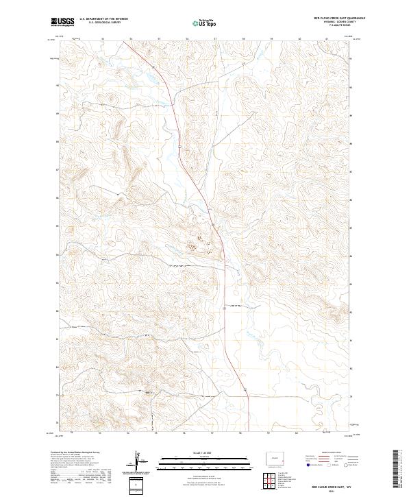 2021 Red Cloud Creek East2021 Print · USGSIn the high plains of Goshen County during the early 2020s, the landscape is defined by the intersection of rural ranch roads and prairie drainages. Researchers can trace the winding paths of Rawhide Cr and Red Cloud Cr along the grid of RD 106.
 - 2021 Map of Red Cloud Creek West, 2021 Print
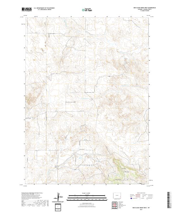 2021 Red Cloud Creek West2021 Print · USGSEastern Wyoming ranchlands and historic migration corridors are detailed in this study of Goshen County. Trace the path of the legendary Oregon Trl or locate family landmarks like Skinner Reservoir and Dickerson Draw near Pine Ridge.
 - 2021 Map of Casebier Hill, 2021 Print
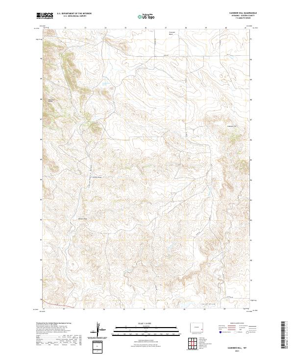 2021 Casebier Hill2021 Print · USGSGoshen County's high plains and rugged draws are captured here in the early twenty-first century. Genealogists and local historians can trace the paths of Kaspiere Rd and Ridge Rd past landmarks like Casebier Hill and Woodworth Spring.
 - 2021 Map of Spoon Butte NW, 2021 Print
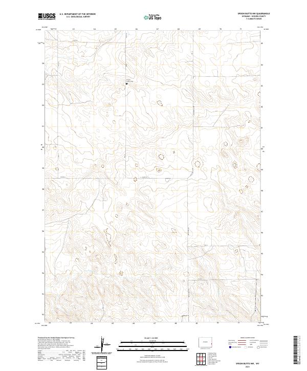 2021 Spoon Butte NW2021 Print · USGSIn the early twenty-first century, this Goshen County landscape remains a testament to rural organization and high-plains geography. Genealogists and local historians can trace property lines and roads around Prairie Center Cem and follow the paths of Sixmile Cr and Van Tassell Rd.
Showing maps 1-25 of 55
Top cities of Goshen County
- Torrington historical maps
- Lingle historical maps
- La Grange historical maps
- Fort Laramie historical maps
- Yoder historical maps
Frequently asked questions
- What are the different types of historical maps available for Goshen County?
- What is the oldest map of Goshen County?
- Where can I purchase historical maps of Goshen County for my home or office?
- Where can I download high-res historical maps of Goshen County?
- Are there historical topographic maps available for Goshen County?
- Is there historical aerial imagery available for Goshen County?
- Where are historical maps of Goshen County sourced from?