2020s Maps of Park County, Wyoming
Explore 196 historic maps of Park County from the 2020s. These maps offer a rare glimpse into what life looked like during the 2020s — showing old roads, neighborhoods, homes, and landmarks that have changed or disappeared over time.
Whether you're researching your family's past, planning a metal detecting trip, or studying how Park County's landscape evolved across the 2020s, these high-resolution maps are a powerful tool for exploring the history of this region.
- Focus on a specific era: All maps on this page are from the 2020s, giving you a focused view of this time period.
- See what’s changed: Compare century-old streets, trails, and buildings to today's modern landscape using overlays and satellite layers.
- Research with precision: Use these maps for genealogy, historical research, land use analysis, or educational projects.
- View, download, or print: Maps are fully viewable online in high resolution, and can be downloaded or printed for your own records.
Start exploring Park County's history through authentic maps from the 2020s. This is your window into the past.
Park County, WY maps
(196)- 2020 Map of Richards Creek, 2020 Print
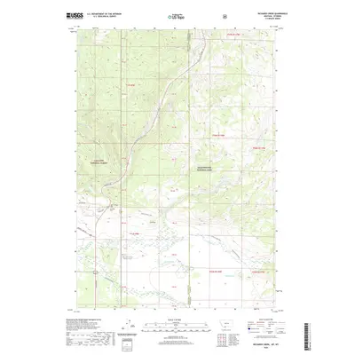 2020 Richards Creek2020 Print · USGSCovers Park County, including Gallatin County, United States, and other nearby areas
 - 2020 Map of Warren, 2020 Print
 2020 Warren2020 Print · USGSCovers Park County, including Warren, Carbon County, and other nearby areas
 - 2020 Map of West Yellowstone, 2020 Print
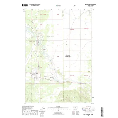 2020 West Yellowstone2020 Print · USGSCovers Park County, including West Yellowstone, Gallatin County, and other nearby areas
 - 2020 Map of Bear Canyon, 2020 Print
 2020 Bear Canyon2020 Print · USGSCovers Park County, including Carbon County, Big Horn County, and other nearby areas
 - 2020 Map of Tolman Flat, 2020 Print
 2020 Tolman Flat2020 Print · USGSCovers Park County, including Carbon County, United States, and other nearby areas
 - 2020 Map of Castle Mountain, 2020 Print
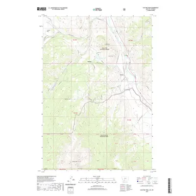
 2020 Castle Mountain2020 Print · USGSCovers Park County, including Carbon County, United States, and other nearby areas
 - 2020 Map of Mount Maurice, 2020 Print
 2020 Mount Maurice2020 Print · USGSCovers Park County, including Carbon County, United States, and other nearby areas
 - 2020 Map of Hollenbeck Draw, 2020 Print
 2020 Hollenbeck Draw2020 Print · USGSCovers Park County, including Chance, Carbon County, and other nearby areas
 - 2020 Map of Cooke City, 2020 Print
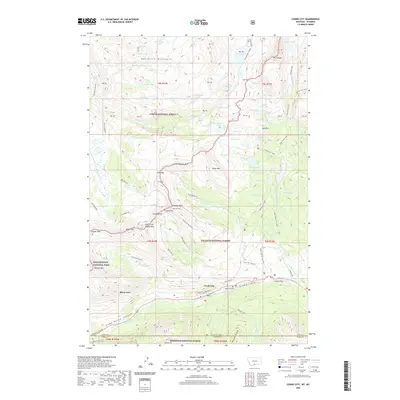 2020 Cooke City2020 Print · USGSCovers Park County, including Ricci Trailer Terraces, Cooke City, and other nearby areas
 - 2020 Map of Silver Run Peak, 2020 Print
 2020 Silver Run Peak2020 Print · USGSCovers Park County, including Carbon County, United States, and other nearby areas
 - 2020 Map of Black Pyramid Mountain, 2020 Print
 2020 Black Pyramid Mountain2020 Print · USGSCovers Park County, including Richel Lodge, Carbon County, and other nearby areas
 - 2020 Map of Fossil Lake, 2020 Print
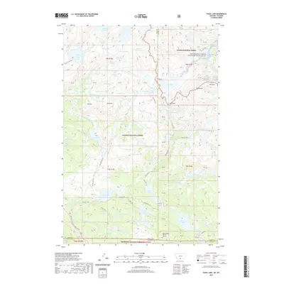 2020 Fossil Lake2020 Print · USGSCovers Park County, including Carbon County, United States, and other nearby areas
 - 2020 Map of Big Horn Peak, 2020 Print
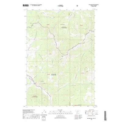 2020 Big Horn Peak2020 Print · USGSCovers Park County, including Gallatin County, United States, and other nearby areas
 - 2020 Map of Cutoff Mountain, 2020 Print
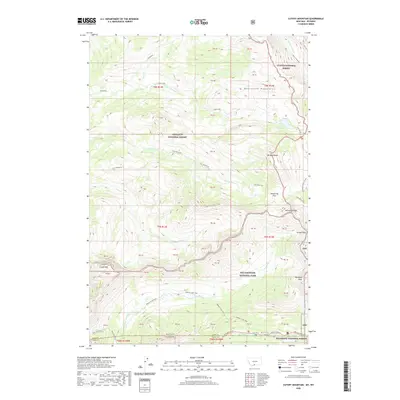 2020 Cutoff Mountain2020 Print · USGSCovers Park County, including United States, Montana, and other nearby areas
 - 2020 Map of Sportsman Lake, 2020 Print
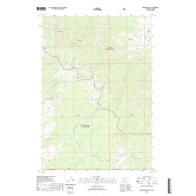 2020 Sportsman Lake2020 Print · USGSCovers Park County, including United States, Montana, and other nearby areas
 - 2020 Map of Roundhead Butte, 2020 Print
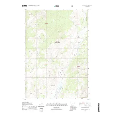 2020 Roundhead Butte2020 Print · USGSCovers Park County, including United States, Montana, and other nearby areas
 - 2020 Map of Electric Peak, 2020 Print
 2020 Electric Peak2020 Print · USGSCovers Park County, including Aldridge, Corwin Springs, and other nearby areas
 - 2020 Map of Hummingbird Peak, 2020 Print
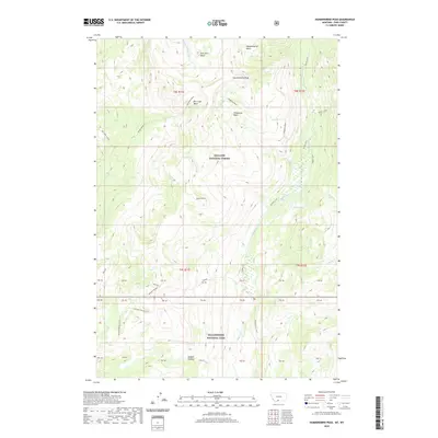 2020 Hummingbird Peak2020 Print · USGSCovers Park County, including United States, Montana, and other nearby areas
 - 2021 Map of Divide Lake, 2021 Print
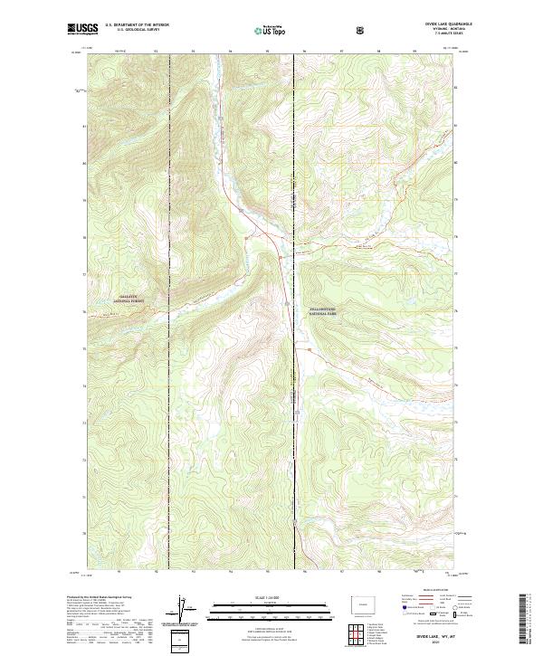 2021 Divide Lake2021 Print · USGSThe Montana and Wyoming borderlands are captured here in the early twenty-first century as they pass through federal forest and park lands. Researchers can trace the rugged paths of Bacon Rind Creek Trl and Fawn Pass Trl or locate the namesake Divide Lake.
 - 2021 Map of Iron Creek, 2021 Print
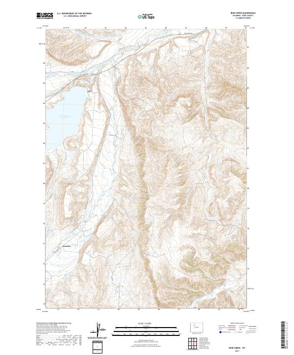 2021 Iron Creek2021 Print · USGSSunshine and the surrounding rangeland are captured here in the early twenty-first century, showing the intricate network of canals supporting the Bighorn Basin. Researchers can trace historic irrigation routes like Only Chance Ditch and Pappapau Ditch near the Lower Sunshine Reservoir.
 - 2021 Map of Gilmore Hill SE, 2021 Print
 2021 Gilmore Hill SE2021 Print · USGSBig Horn and Park counties meet in this high-desert landscape, captured in a recent survey that preserves the path of the historic Jim Bridger Trl. Trace the rugged topography around Johnson Reservoir Number 2 and the winding reaches of Coon Creek.
 - 2021 Map of Stone Barn Camp, 2021 Print
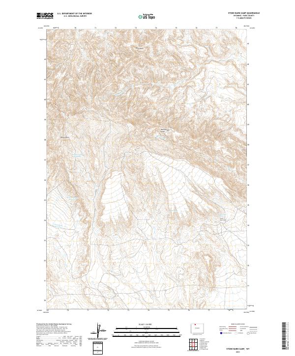 2021 Stone Barn Camp2021 Print · USGSPark County, Wyoming, is shown here in the 2020s, highlighting the isolated ranching and wildlife infrastructure of the high desert. Researchers can trace the layout of Stone Barn Camp and locate remote water sources like Back Scratcher Reservoir and Stone Barn Spring.
 - 2021 Map of Elk Basin, 2021 Print
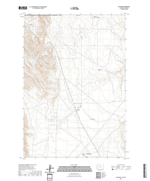 2021 Elk Basin2021 Print · USGSPark County at the Montana border comes into focus in this contemporary survey of the high plains north of Powell. Researchers can trace the sprawling Polecat Bench landform and locate local landmarks like the Powell Municipal Airport and Elk Basin.
 - 2021 Map of Oregon Basin, 2021 Print
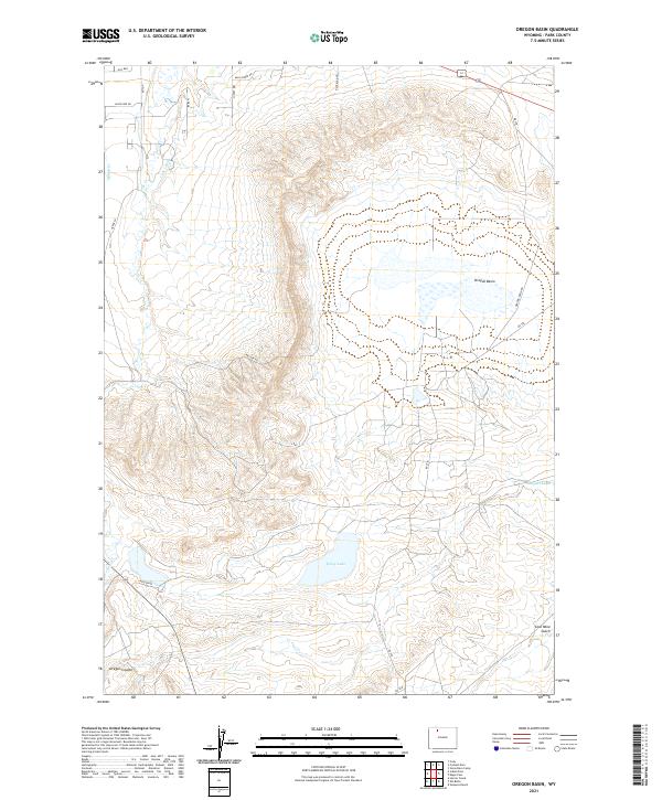 2021 Oregon Basin2021 Print · USGSThe Oregon Basin is shown here in the early twenty-first century, revealing a landscape of irrigation canals and ranching roads. Trace the path of the Cody Canal past Wiley Lake or find local landmarks like Coal Mine Gulch and Wild Horse Rd.
 - 2021 Map of Byron, 2021 Print
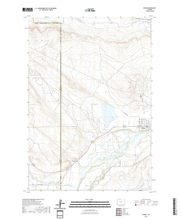 2021 Byron2021 Print · USGSByron and the Shoshone River valley are shown here in the early twenty-first century, highlighting the vital irrigation networks of the Big Horn Basin. Researchers can trace local landmarks like Byron Cem and the routes of the Sidon Canal and Elk Lovell Canal.
Showing maps 1-25 of 196
Top cities of Park County
Frequently asked questions
- What are the different types of historical maps available for Park County?
- What is the oldest map of Park County?
- Where can I purchase historical maps of Park County for my home or office?
- Where can I download high-res historical maps of Park County?
- Are there historical topographic maps available for Park County?
- Is there historical aerial imagery available for Park County?
- Where are historical maps of Park County sourced from?