2010s Maps of Park County, Wyoming
Explore 521 historic maps of Park County from the 2010s. These maps offer a rare glimpse into what life looked like during the 2010s — showing old roads, neighborhoods, homes, and landmarks that have changed or disappeared over time.
Whether you're researching your family's past, planning a metal detecting trip, or studying how Park County's landscape evolved across the 2010s, these high-resolution maps are a powerful tool for exploring the history of this region.
- Focus on a specific era: All maps on this page are from the 2010s, giving you a focused view of this time period.
- See what’s changed: Compare century-old streets, trails, and buildings to today's modern landscape using overlays and satellite layers.
- Research with precision: Use these maps for genealogy, historical research, land use analysis, or educational projects.
- View, download, or print: Maps are fully viewable online in high resolution, and can be downloaded or printed for your own records.
Start exploring Park County's history through authentic maps from the 2010s. This is your window into the past.
Park County, WY maps
(521)- 2011 Map of Big Horn Peak, 2011 Print
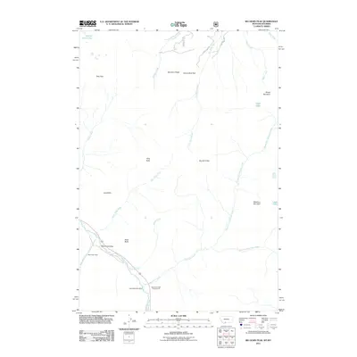 2011 Big Horn Peak2011 Print · USGSHigh mountain terrain and river corridors define this area of Montana and Wyoming during the early twenty-first century. Researchers can locate remote high-country features such as the Apex/Black Butte Mine, the Black Butte Ranch, and Shelf Lake.
 - 2011 Map of Fossil Lake, 2011 Print
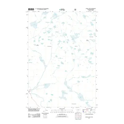 2011 Fossil Lake2011 Print · USGSHigh in the Beartooth Plateau during the early twenty-first century, this map shows a dense network of alpine lakes and granite peaks. Researchers can locate remote landmarks like Big Moose Resort or trace the drainages surrounding Fossil Lake and Mount Rosebud.
 - 2011 Map of Warren, 2011 Print
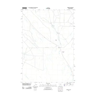 2011 Warren2011 Print · USGSThe Montana-Wyoming borderlands around the settlement of Warren are captured here in the early twenty-first century. Researchers can trace the path of Railroad Grade Rd and locate local landmarks like Drum Number 2 Dam and Inferno Canyon.
 - 2011 Map of Silver Run Peak, 2011 Print
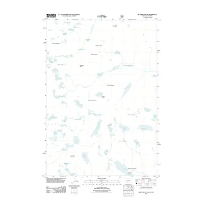 2011 Silver Run Peak2011 Print · USGSHigh alpine basins and massive granite summits dominate the Beartooth Range during this 2011 survey. Hikers and cartographic researchers can trace complex glacial drainage patterns through September Morn Lake, Silver Run Peak, and the Lake Fork canyon.
 - 2011 Map of Hollenbeck Draw, 2011 Print
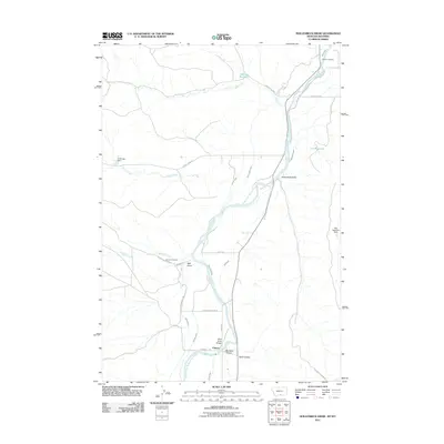 2011 Hollenbeck Draw2011 Print · USGSThe Montana-Wyoming border region along the Clarks Fork Yellowstone River is revealed in this 2011 survey, showing a landscape shaped by water and early trails. Researchers can find historical markers like Chance Cemetery and trace the path of the Meeteetse Trl.
 - 2011 Map of Tolman Flat, 2011 Print
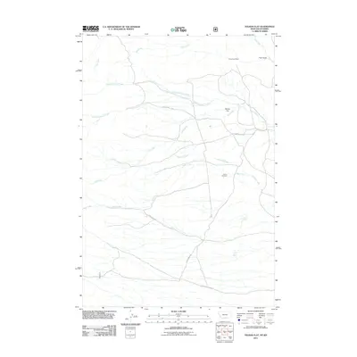 2011 Tolman Flat2011 Print · USGSThe high plains of Park County come into focus during the early twenty-first century, showing a landscape shaped by water and early trails. Genealogists and researchers can locate the Tolman Cemetery and trace the historic path of the Meeteetsee Trl past the Grove Creek Mine.
 - 2011 Map of Bear Canyon, 2011 Print
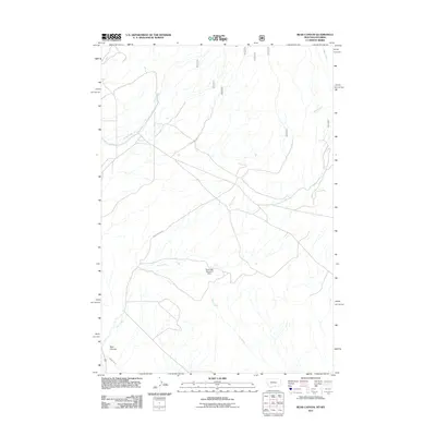 2011 Bear Canyon2011 Print · USGSThe rugged Montana-Wyoming borderlands are captured here in the early twenty-first century, showing a landscape shaped by water and ranching. Trace the path of Bear Creek and find specialized features like the Southside Detention Dam and Stockman Trl.
 - 2011 Map of Lamar Canyon, 2011 Print
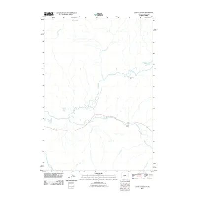 2011 Lamar Canyon2011 Print · USGSThe Lamar River and its high-elevation tributaries are captured here during the early twenty-first century. Researchers can trace remote backcountry landmarks such as the Slough Creek Patrol Cabins, McBride Lake, and the expansive Buffalo Plateau.
 - 2011 Map of Mount Hornaday, 2011 Print
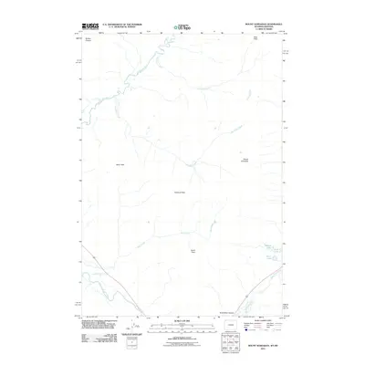 2011 Mount Hornaday2011 Print · USGSPark County, Wyoming, and the adjacent Montana border are captured here in the early twenty-first century as a pristine mountain wilderness. Trace high-altitude routes through Bliss Pass and locate secluded alpine waters like Trout Lake and Shrimp Lake.
 - 2011 Map of Badger Basin, 2011 Print
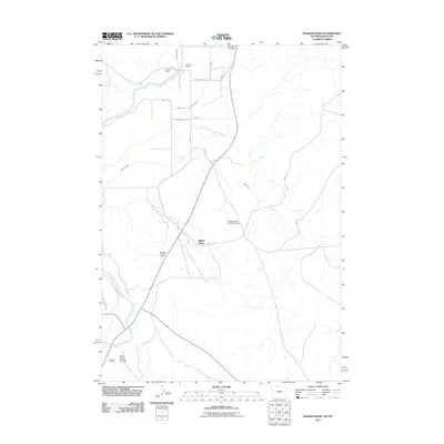 2011 Badger Basin2011 Print · USGSNorthern Wyoming ranchlands and the irrigation networks of the Shoshone River basin come into focus in this early twenty-first century study. Researchers can trace historic water rights and holdings like Walker Ranch, State Ditch, and the Buck Springs Detention Dam.
 - 2011 Map of Mammoth, 2011 Print
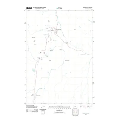 2011 Mammoth2011 Print · USGSThe thermal features and geological gateways around the northern border of Wyoming are documented here in the early 21st century. Researchers can trace the layout of Mammoth and find local landmarks such as The Hoodoos, Liberty Cap, and Kingman Pass.
 - 2011 Map of Tower Junction, 2011 Print
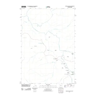 2011 Tower Junction2011 Print · USGSNorthern Wyoming at the beginning of the twenty-first century reveals a landscape shaped by river confluences and historic crossings. Researchers can trace the proximity of Roosevelt Lodge to iconic landmarks like Tower Fall and the Buffalo Ford.
 - 2011 Map of Black Pyramid Mountain, 2011 Print
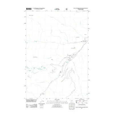 2011 Black Pyramid Mountain2011 Print · USGSThe Beartooth high country is captured here during the early twenty-first century, showing a landscape defined by recreational campgrounds and mining history. Researchers can locate remote sites like the Edsel Mine and Gallon Jug Mine, or trace the access to Richel Lodge.
 - 2011 Map of Castle Mountain, 2011 Print
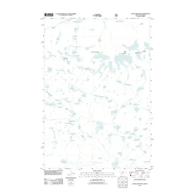 2011 Castle Mountain2011 Print · USGSPark County, Wyoming is shown at the height of its alpine character in this contemporary survey. Hikers and cartographic enthusiasts can trace high-country water systems from Elephant Lake to the steep drops of Impasse Falls and Charlie Falls.
 - 2011 Map of Mount Maurice, 2011 Print
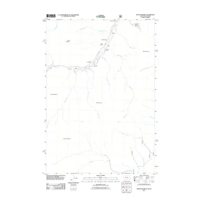 2011 Mount Maurice2011 Print · USGSThe high Montana-Wyoming border country comes into focus in this early twenty-first-century survey of the Beartooth foothills. Researchers and backcountry travelers can trace local landmarks like Yellowstone-Bighorn Research Camp, Camp Miles, and the high reaches of the Line Creek Plateau.
 - 2011 Map of Cooke City, 2011 Print
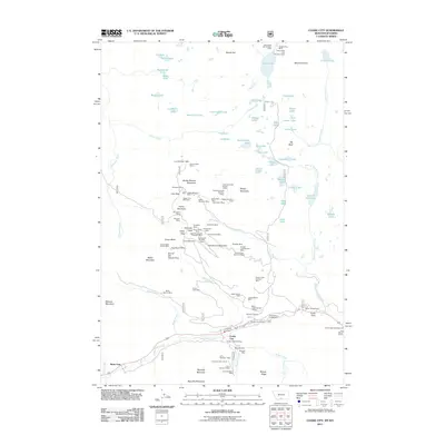 2011 Cooke City2011 Print · USGSThe high alpine mining camps of the Beartooth Range come to life in this survey of the Montana-Wyoming border. Historians and genealogists can trace decades of mineral claims at the Glengarry Mines, Mc Larens Mines, and the local Cooke City Cemetery.
 - 2011 Map of Elk Basin NW, 2011 Print
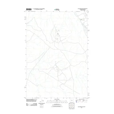 2011 Elk Basin NW2011 Print · USGSThe Wyoming-Montana border in the early 2000s reveals a landscape shaped by energy production and resource extraction. Researchers can trace the industrial layout of the Silver Tip Oil Field and Elk Basin Oil Field, or locate the Oldham Mine near the banks of Silver Tip Creek.
 - 2011 Map of Elk Basin, 2011 Print
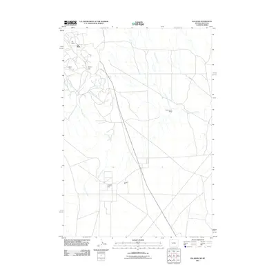 2011 Elk Basin2011 Print · USGSThe high Wyoming borderlands appear in this early 21st-century survey, dominated by the industrial infrastructure of the Elk Basin Oil Field. Researchers can trace the extensive network of service roads and natural features like the Silvertip Mine and Silver Tip Creek.
 - 2011 Map of Frannie, 2011 Print
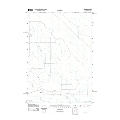 2011 Frannie2011 Print · USGSBig Horn County agricultural lands are captured here just after the turn of the millennium, defined by a sophisticated network of irrigation canals. Researchers can locate the Deaver Cemetery or trace the paths of the Frannie Canal and the historic Dry Gulch Mine.
 - 2011 Map of Deaver Reservoir, 2011 Print
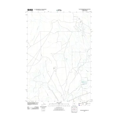 2011 Deaver Reservoir2011 Print · USGSThe Bighorn Basin comes into focus in this early twenty-first-century survey of the Wyoming-Montana borderlands. Petroleum history and desert irrigation meet here, allowing researchers to trace the Frannie Oil Field and the winding Jim Bridger Trl.
 - 2011 Map of Roundhead Butte, 2011 Print
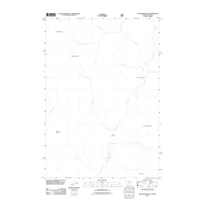 2011 Roundhead Butte2011 Print · USGSPark County, Wyoming, is captured here in the early twenty-first century, showcasing a wilderness of high peaks and cold-water drainages. Researchers can trace the remote Silver Tip Ranch or navigate the high-elevation routes through Bliss Pass and Frenchy Meadow.
 - 2011 Map of Blacktail Deer Creek, 2011 Print
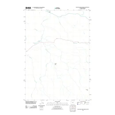 2011 Blacktail Deer Creek2011 Print · USGSThe high country of Park County, Wyoming, is captured here in the early twenty-first century as a landscape defined by its major watercourses. Traces of the region's geography are visible through landmarks like Blacktail Bridge, Wraith Falls, and the rising Prospect Peak.
 - 2011 Map of Quadrant Mountain, 2011 Print
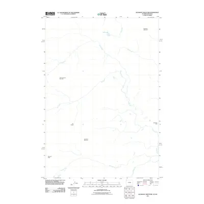 2011 Quadrant Mountain2011 Print · USGSPark County at the start of the decade showcases a wilderness dominated by the high peaks of the Gallatin Range. Researchers can trace the rugged drainages of the Gardner River and locate isolated landmarks like Cache Lake, Bannock Peak, and The Pocket.
 - 2011 Map of Cutoff Mountain, 2011 Print
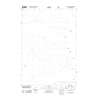 2011 Cutoff Mountain2011 Print · USGSThe high peaks of the Absaroka Range are documented in this 2011 survey, showing a landscape shaped by alpine hydrology. Researchers can trace the headwaters of the Stillwater River and locate remote landmarks like Wolverine Pass and the Northeast Entrance.
 - 2011 Map of Electric Peak, 2011 Print
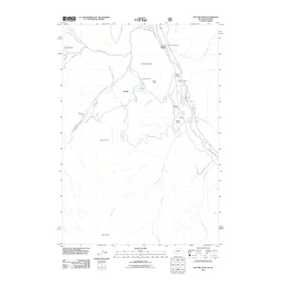 2011 Electric Peak2011 Print · USGSThe northern gateway to Yellowstone comes into focus in this modern survey of the Montana-Wyoming borderlands. Genealogists and researchers can locate the Aldridge Cemetery and Horr Cemetery, or trace historical routes like the Old Yellowstone Trl S.
Showing maps 1-25 of 521
Top cities of Park County
Frequently asked questions
- What are the different types of historical maps available for Park County?
- What is the oldest map of Park County?
- Where can I purchase historical maps of Park County for my home or office?
- Where can I download high-res historical maps of Park County?
- Are there historical topographic maps available for Park County?
- Is there historical aerial imagery available for Park County?
- Where are historical maps of Park County sourced from?