2010s Maps of Green River, Wyoming
Explore 12 historic maps of Green River from the 2010s. These maps offer a rare glimpse into what life looked like during the 2010s — showing old roads, neighborhoods, homes, and landmarks that have changed or disappeared over time.
Whether you're researching your family's past, planning a metal detecting trip, or studying how Green River's landscape evolved across the 2010s, these high-resolution maps are a powerful tool for exploring the history of this region.
- Focus on a specific era: All maps on this page are from the 2010s, giving you a focused view of this time period.
- See what’s changed: Compare century-old streets, trails, and buildings to today's modern landscape using overlays and satellite layers.
- Research with precision: Use these maps for genealogy, historical research, land use analysis, or educational projects.
- View, download, or print: Maps are fully viewable online in high resolution, and can be downloaded or printed for your own records.
Start exploring Green River's history through authentic maps from the 2010s. This is your window into the past.
Green River, WY maps
(12)- 2012 Map of Blacks Fork Bridge, 2012 Print
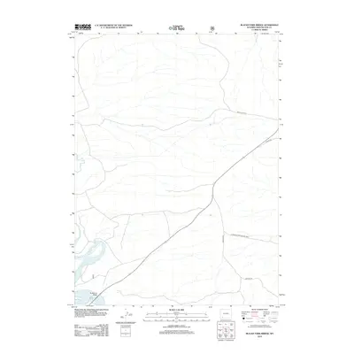 2012 Blacks Fork Bridge2012 Print · USGSThe high desert of Sweetwater County comes into focus in the early 2010s at a critical river crossing. Researchers can trace the winding course of the Blacks Fork and locate backcountry routes like Lost Dog Rd and Peru Cutoff Rd.
 - 2012 Map of Whalen Butte, 2012 Print
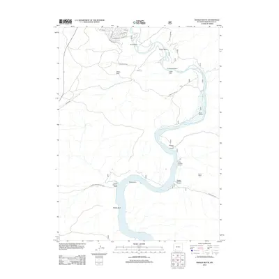 2012 Whalen Butte2012 Print · USGSThe Green River corridor in Sweetwater County underwent significant transformation by the early twenty-first century as the reservoir filled the canyon floors. Researchers can trace the river's path through Slippery Jim Canyon and locate landmarks like Whalen Butte and Whiskey Bend.
 - 2012 Map of Green River, 2012 Print
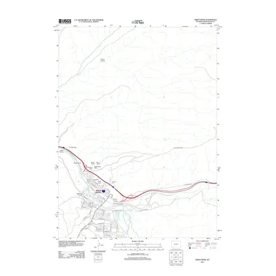 2012 Green River2012 Print · USGSGreen River at the start of the 2010s shows a high-desert community defined by the path of the river and rail. Researchers can trace the town's geography from the Riverview Cem to iconic formations like Teakettle Rock and Castle Rock.
 - 2012 Map of Peru, 2012 Print
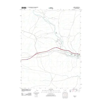 2012 Peru2012 Print · USGSSweetwater County ranching and riverfront growth are captured here just after the turn of the millennium. Researchers can trace the layout of small settlements like James Town and Riview or locate family landmarks such as Shaul Ranch.
 - 2015 Map of Whalen Butte, 2015 Print
 2015 Whalen Butte2015 Print · USGSThe high desert landscape of south Wyoming meets the expanding edges of Green River in this modern-era topographical record. Local history buffs can trace the river's path through Slippery Jim Canyon or locate the distinctive Greater Green River Intergalactic Spaceport.
 - 2015 Map of Peru, 2015 Print
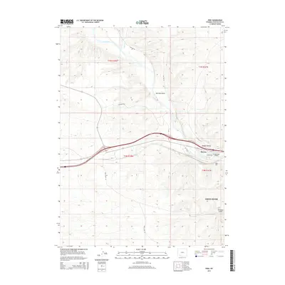 2015 Peru2015 Print · USGSSweetwater County during the mid-2010s shows a landscape defined by the winding Green River and the communities that grew along its banks. Local researchers can trace residential development in James Town and Riovista or locate features like Fish Cut and Greasewood Canyon.
 - 2015 Map of Blacks Fork Bridge, 2015 Print
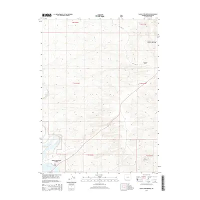 2015 Blacks Fork Bridge2015 Print · USGSThe high basin terrain south of Green River is captured here in the mid-2010s, showing a landscape defined by water and transit. Researchers can trace the path of Blacks Fork and the strategic route of Peru Cutoff Rd through Telephone Canyon.
 - 2015 Map of Green River, 2015 Print
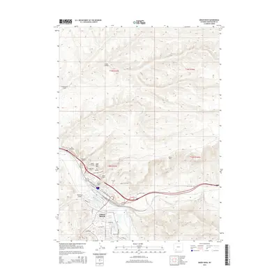 2015 Green River2015 Print · USGSGreen River at the start of the twenty-first century reveals a landscape where modern infrastructure aligns with historic western travel corridors. Genealogists and historians can trace the Riverview Cem or follow the path of the Old Lincoln Hwy past Tollgate Rock.
 - 2017 Map of Whalen Butte, 2017 Print
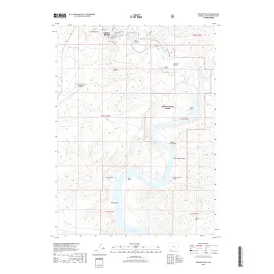 2017 Whalen Butte2017 Print · USGSThe Green River corridor in Sweetwater County comes alive in this modern survey of the city's southern reaches. Geologists and local historians can trace the river's path through Whalen Bottom and Whiskey Bend toward the Flaming Gorge Reservoir.
 - 2017 Map of Blacks Fork Bridge, 2017 Print
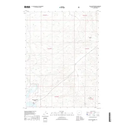 2017 Blacks Fork Bridge2017 Print · USGSSweetwater County's high desert landscape is documented here in the late twenty-teens, showing the intersection of water and roadway near the Ashley National Forest. Researchers can trace remote routes like Lost Dog Rd and topographical markers like Telephone Canyon.
 - 2018 Map of Green River, 2018 Print
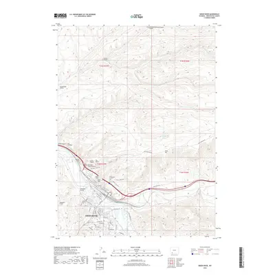 2018 Green River2018 Print · USGSGreen River and the surrounding high-desert plateaus are documented here in the late twenty-tens, showing the intersection of rail infrastructure and dramatic geology. Researchers can trace the town's modern footprint near Riverview Cem and identify iconic landmarks like Tollgate Rock or Castle Rock.
 - 2018 Map of Peru, 2018 Print
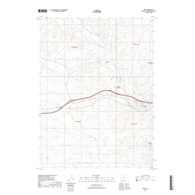 2018 Peru2018 Print · USGSSweetwater County during the late 2010s shows a landscape of river-valley settlements and high-desert canyons. Genealogists and researchers can trace the roads and landmarks surrounding James Town and Peru or follow the drainage of Milk Ranch Wash into the Green River.
End of results
Showing maps 1-12 of 12
Top cities near Green River
- Rock Springs historical maps
- North Rock Springs historical maps
- Clearview Acres historical maps
- James Town historical maps
- Purple Sage historical maps
Frequently asked questions
- What are the different types of historical maps available for Green River?
- What is the oldest map of Green River?
- Where can I purchase historical maps of Green River for my home or office?
- Where can I download high-res historical maps of Green River?
- Are there historical topographic maps available for Green River?
- Is there historical aerial imagery available for Green River?
- Where are historical maps of Green River sourced from?