2010s Maps of Uinta County, Wyoming
Explore 163 historic maps of Uinta County from the 2010s. These maps offer a rare glimpse into what life looked like during the 2010s — showing old roads, neighborhoods, homes, and landmarks that have changed or disappeared over time.
Whether you're researching your family's past, planning a metal detecting trip, or studying how Uinta County's landscape evolved across the 2010s, these high-resolution maps are a powerful tool for exploring the history of this region.
- Focus on a specific era: All maps on this page are from the 2010s, giving you a focused view of this time period.
- See what’s changed: Compare century-old streets, trails, and buildings to today's modern landscape using overlays and satellite layers.
- Research with precision: Use these maps for genealogy, historical research, land use analysis, or educational projects.
- View, download, or print: Maps are fully viewable online in high resolution, and can be downloaded or printed for your own records.
Start exploring Uinta County's history through authentic maps from the 2010s. This is your window into the past.
Uinta County, WY maps
(163)- 2010 Map of Murphy Ridge, 2010 Print
 2010 Murphy Ridge2010 Print · USGSUinta County mining history and the Bear River valley are preserved here in the first decade of the millennium. Researchers can trace the industrial footprint of the Almy Number Seven Mine or locate family records at the Almy Cemetery.
 - 2010 Map of Wahsatch, 2010 Print
 2010 Wahsatch2010 Print · USGSThe high country of the Utah-Wyoming border comes into focus in this modern survey, centered on the strategic pass at Wahsatch. Researchers can trace the rugged geography of Echo Canyon and locate distinctive landmarks like The Needles and Barker Reservoir.
 - 2010 Map of Neponset Reservoir NE, 2010 Print
 2010 Neponset Reservoir NE2010 Print · USGSHigh desert ranching and water management define this Wyoming-Utah borderlands region during the early twenty-first century. Researchers can trace the winding Bear River or locate local landmarks like Highway Ranch, Woodruff Narrows Reservoir, and Murphy Ridge.
 - 2010 Map of Porcupine Ridge, 2010 Print
 2010 Porcupine Ridge2010 Print · USGSCrossing the Utah-Wyoming border in the early twenty-first century, this landscape features the high-altitude drainages of the Uinta foothills. Trace the paths of Thief Creek and Basin Creek as they flow through the Chalk Creek Basin below Porcupine Mountain.
 - 2011 Map of Woodruff Narrows, 2011 Print
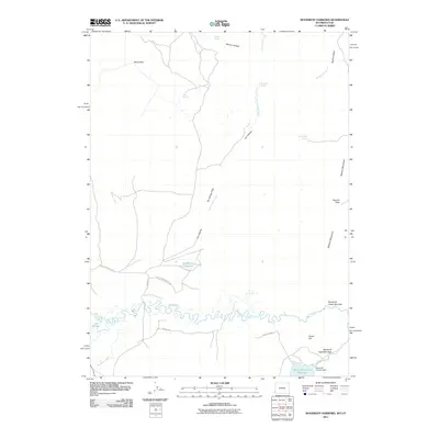 2011 Woodruff Narrows2011 Print · USGSUinta County water management and high-country passes are documented here in the early twenty-first century. Researchers can trace the drainage of Cottonwood Creek and locate family-named landmarks like Hanks Hill and Gil Smith Spring.
 - 2011 Map of Bridger Lake, 2011 Print
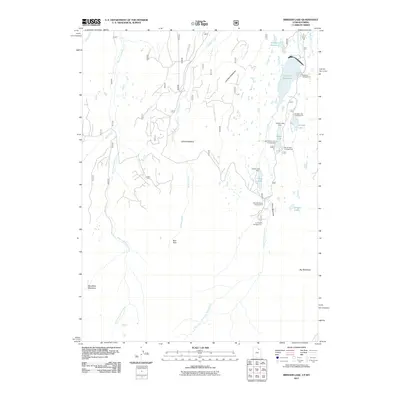 2011 Bridger Lake2011 Print · USGSThe high alpine country of the Utah-Wyoming border is captured here during the early 2000s, showcasing a landscape of reservoirs and seasonal camps. Outdoor historians and researchers can trace the network of water and wilderness around Stateline Reservoir, Marsh Lake, and China Meadows.
 - 2011 Map of Hoop Lake, 2011 Print
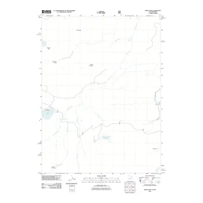 2011 Hoop Lake2011 Print · USGSThe high country along the Wyoming-Utah border is shown in detail during the early 21st century, centered on the vital water resources of the Uinta foothills. Outdoor enthusiasts and researchers can trace the roads to Hoop Lake Campground or follow the paths through Kabell Meadows and Gregory Basin.
 - 2011 Map of Hole In The Rock, 2011 Print
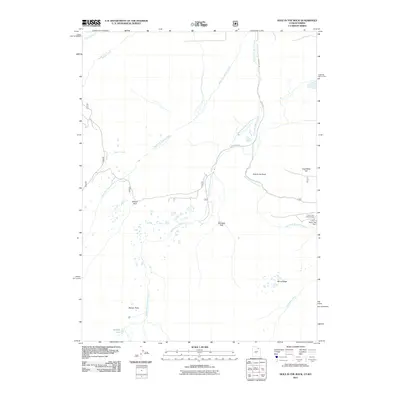 2011 Hole In The Rock2011 Print · USGSThe high meadows and mountain drainages of the Utah-Wyoming border come into focus in this modern survey. Outdoor historians and researchers can locate remote landmarks like Hole in the Rock, Coal Mine Hill, and the engineering at Hoop Lake Dam.
 - 2011 Map of Lyman Lake, 2011 Print
 2011 Lyman Lake2011 Print · USGSThe high Uinta foothills on the Utah-Wyoming border come to life in this early 2010s survey of mountain drainages and alpine lakes. Researchers can trace the historical footprint of the Old Blacks Fork Commissary or locate remote sites like Duck Lake and Meeks Cabin Reservoir.
 - 2011 Map of Deadman Mountain, 2011 Print
 2011 Deadman Mountain2011 Print · USGSSummit County's high-country ranching and recreation landscapes are on display here in the early twenty-first century. Researchers can trace family-named sites like Burts-Miller Ranch and Island Ranch or locate the Hill Air Force Base Recreation Camp near Carter Creek.
 - 2011 Map of Gilbert Peak NE, 2011 Print
 2011 Gilbert Peak NE2011 Print · USGSSummit County's high-country drainages are captured here during the early twenty-first century as the landscape balanced resource extraction and recreation. Trace the access routes near Bridger Lake Oil Field or the mountain paths leading from Henrys Fork Trailhead and Deadhorse Park.
 - 2011 Map of Elizabeth Mountain, 2011 Print
 2011 Elizabeth Mountain2011 Print · USGSSummit County's high-country terrain and alpine watersheds are documented here just after the first decade of the new millennium. Researchers can trace the headwaters of the West Fork Blacks Fork and locate remote landmarks like Elizabeth Pass and Moslander Dam.
 - 2011 Map of Seven Tree Flat, 2011 Print
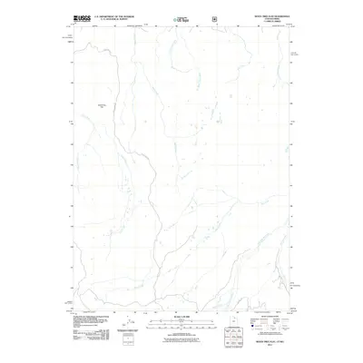 2011 Seven Tree Flat2011 Print · USGSHigh mountain watersheds in Summit County are captured here during the early twenty-first century. Researchers can trace the paths of the West Fork Bear River and Chalk Creek, or follow remote tracks like Chalk Creek Rd and Whitney Rd.
 - 2011 Map of Red Hole, 2011 Print
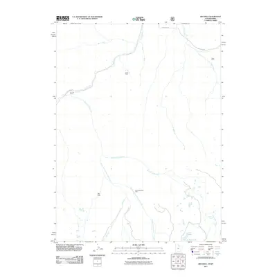 2011 Red Hole2011 Print · USGSSummit County high country in the early 2000s remains a landscape of isolated outposts and intricate water systems. Trace the high-altitude ranching life at Rigby Ranch or locate secluded features like Beaver Meadow Dam and the unique landform at Red Hole.
 - 2012 Map of Guild Hollow, 2012 Print
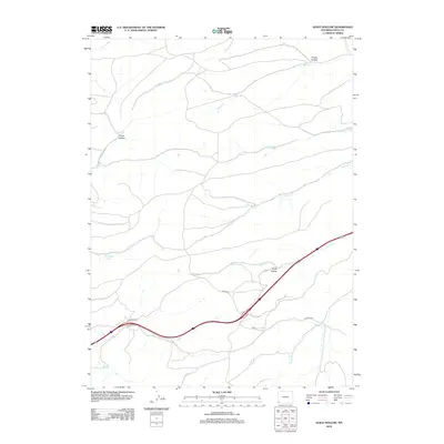 2012 Guild Hollow2012 Print · USGSHigh-altitude Wyoming ranching and transit lands are documented here in the early twenty-first century. Genealogists and historians can trace the paths of Painter Rd and locate family-named landmarks like Crompton Spring and Guild Hollow.
 - 2012 Map of Hampton, 2012 Print
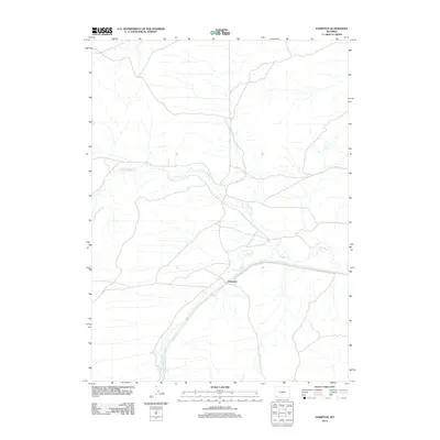 2012 Hampton2012 Print · USGSHampton and the surrounding Uinta County basin are shown in this 2012 survey of the Wyoming high plains. You can trace the winding paths of Muddy Creek and Little Muddy Creek as they converge near the settlement of Hampton.
 - 2012 Map of Mulkay Spring, 2012 Print
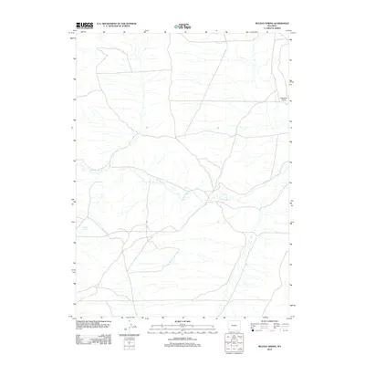 2012 Mulkay Spring2012 Print · USGSSouthwestern Wyoming’s high desert landscape is documented here in the early twenty-first century, showcasing the vital water networks of the region. Local researchers and surveyors can trace the course of Little Muddy Cr and locate isolated landmarks like Mulkay Spring and Desertion Point.
 - 2012 Map of Church Butte, 2012 Print
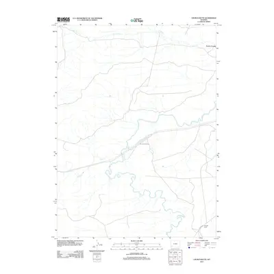 2012 Church Butte2012 Print · USGSUinta County's high-desert landscape is captured here in the early twenty-first century, showing the enduring paths of water and rail across the basin. Researchers can trace the Church Buttes Siding and historical transit points like Rocky Crossing near Church Butte.
 - 2012 Map of Bridger, 2012 Print
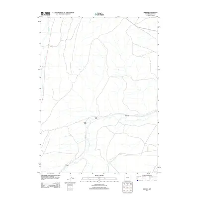 2012 Bridger2012 Print · USGSThe high plains of Uinta County come into focus during the early twenty-first century, showing a landscape defined by ranching and rural transit. Researchers can trace the winding paths of Muddy Cr and Albert Cr or locate specific local landmarks like Scullys Gap and Bridger.
 - 2012 Map of Butcher Knife Draw, 2012 Print
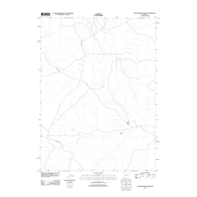 2012 Butcher Knife Draw2012 Print · USGSSweetwater County at the start of the 2010s remains a landscape defined by its remote springs and cattle-country roads. Genealogists and historians can trace routes like Church Butte Rd to find isolated landmarks like Butcher Knife Spring and Shurtliff Spring.
 - 2012 Map of Leroy, 2012 Print
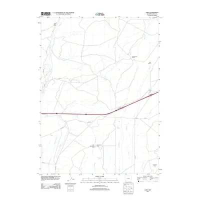 2012 Leroy2012 Print · USGSUinta County's high-desert ranching country is documented here in the early twenty-first century, showing a landscape defined by critical water management and cattle-range terrain. Researchers can trace historical irrigation via the Byrne Ditch Number 2 or locate landmarks like Sugarloaf Butte and Bigelow Springs.
 - 2012 Map of Carter, 2012 Print
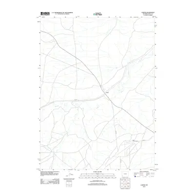 2012 Carter2012 Print · USGSThe high plains of Uinta County come into focus during the early 2010s, centered on the settlement of Carter. Researchers can trace the local water and road networks, from the bends of Muddy Cr to the site of the Fort Bridger Airport.
 - 2012 Map of Hague Creek, 2012 Print
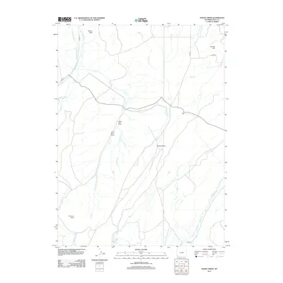 2012 Hague Creek2012 Print · USGSUinta County’s high plains are mapped here in the early 2000s, showcasing a landscape defined by irrigation and family-named landmarks. Trace the course of Blacks Fork and locate specific sites like Anna Holt Draw or Little Piedmont Reservoir.
 - 2012 Map of Reed Reservoir, 2012 Print
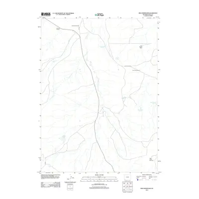 2012 Reed Reservoir2012 Print · USGSUinta County’s high-desert ranching and water infrastructure are documented here during the early twenty-first century. Researchers can trace the complex network of upland water sources including Whisky Reservoir, Sage Mountain Reservoir, and Crooked Canyon.
 - 2012 Map of Turtle Hill, 2012 Print
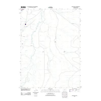 2012 Turtle Hill2012 Print · USGSUinta County's high plains are documented in the early twenty-first century, showing the critical water systems and seasonal drainages of this Wyoming landscape. Researchers can trace the path of the Urie Ditch or locate landmarks like Turtle Hill and Hank Hollow.
Showing maps 1-25 of 163
Top cities of Uinta County
- Evanston historical maps
- Lyman historical maps
- Mountain View historical maps
- Bear River historical maps
Frequently asked questions
- What are the different types of historical maps available for Uinta County?
- What is the oldest map of Uinta County?
- Where can I purchase historical maps of Uinta County for my home or office?
- Where can I download high-res historical maps of Uinta County?
- Are there historical topographic maps available for Uinta County?
- Is there historical aerial imagery available for Uinta County?
- Where are historical maps of Uinta County sourced from?