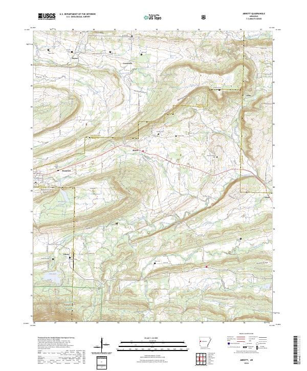
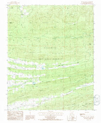
2024 Map of Abbott
USGS Topo · Published 2024About this map
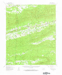
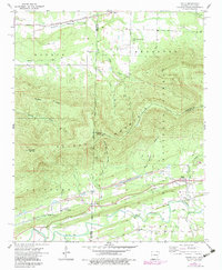
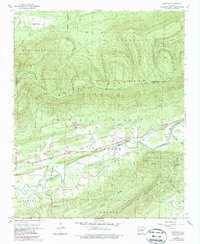
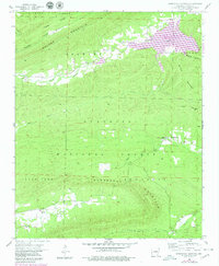
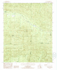
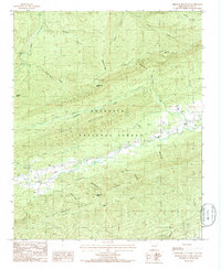
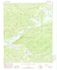
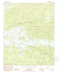
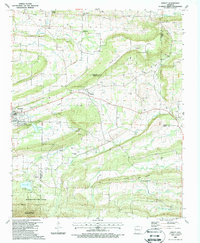
Abbott and Mansfield serve as the primary hubs in this western Arkansas landscape, where the terrain is defined by a series of prominent ridges including Black Jack Ridge, Coop Ridge, and Gibson Ridge. The map documents a dense network of family-named cemeteries such as Pinkston Cem, Looper Cem, and Sorrels Cem, which are scattered among the drainages of Prairie Creek and Little Petit Jean Creek. In the southern portion of the quadrangle, the elevation rises sharply toward the Ouachita National Forest and the Poteau Mountain Wilderness. The concentration of rural settlements like Dayton, Crossroads, and Echo reflects a longstanding community structure built around agricultural valleys and protected forest boundaries.
Find a feature on this map
116 named features on this map. Tap any name to fly to it.
Don’t see what you’re looking for? This feature index may not catch every label — zoom into the map to look around manually.
Map Details
Editions of this 2024 Abbott Map
This is the sole edition of this map. No revisions or reprints were ever made.
Historical Maps of Lewis Through Time
31 maps found

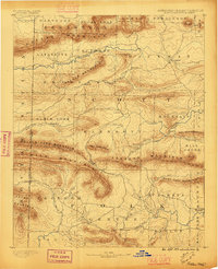
1879 Poteau Mountain
Scott County, AR

1887 Mount Ida #2
Scott County, AR

1887 Poteau Mountain #1
Scott County, AR

1887 Poteau Mountain #2
Scott County, AR
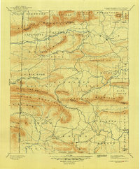
1890 Poteau Mountain
Scott County, AR
1899 Poteau Mountain
Scott County, AR
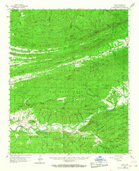
1948 Abbott
Scott County, AR
1958 Bates
Scott County, AR
1958 Bates
Scott County, AR
1958 Cauthron
Scott County, AR
1958 Horseshoe Mountain
Scott County, AR
1960 Parks
Scott County, AR
1983 Hon
Scott County, AR
1983 Peanut Mountain
Scott County, AR
1985 Bee Mountain
Scott County, AR
1985 Buck Knob
Scott County, AR
1985 Freedom Mountain
Scott County, AR
1985 Harvey
Scott County, AR
1985 Parks
Scott County, AR
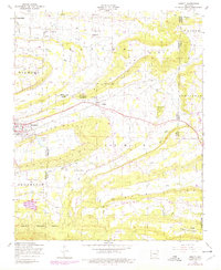
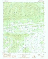
1987 Abbott
Scott County, AR
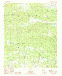
2024 Abbott
Scott County, AR
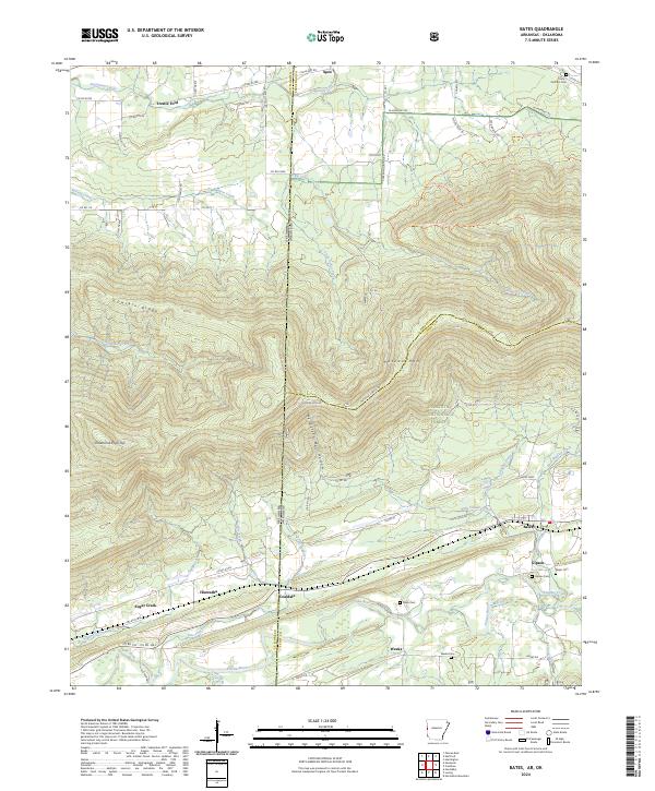
2024 Bates
Scott County, AR
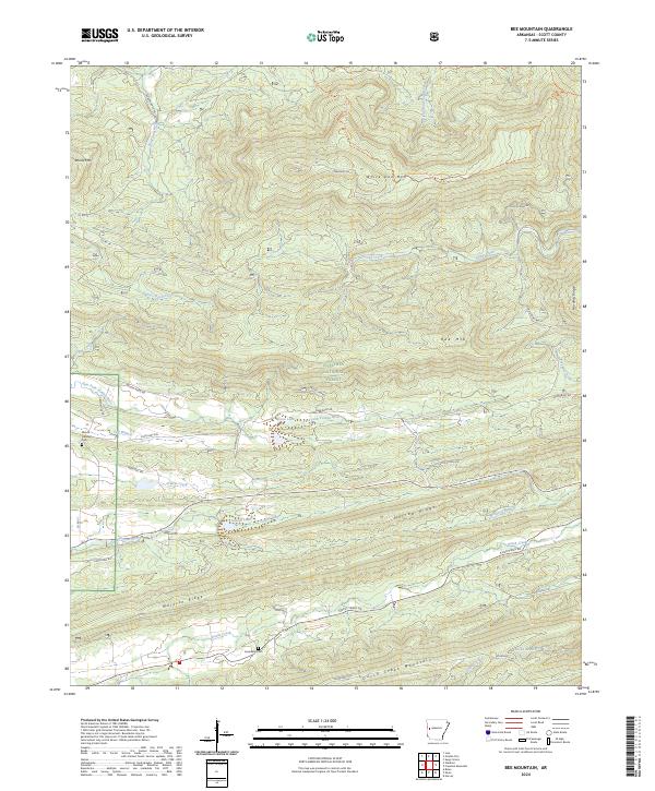
2024 Bee Mountain
Scott County, AR
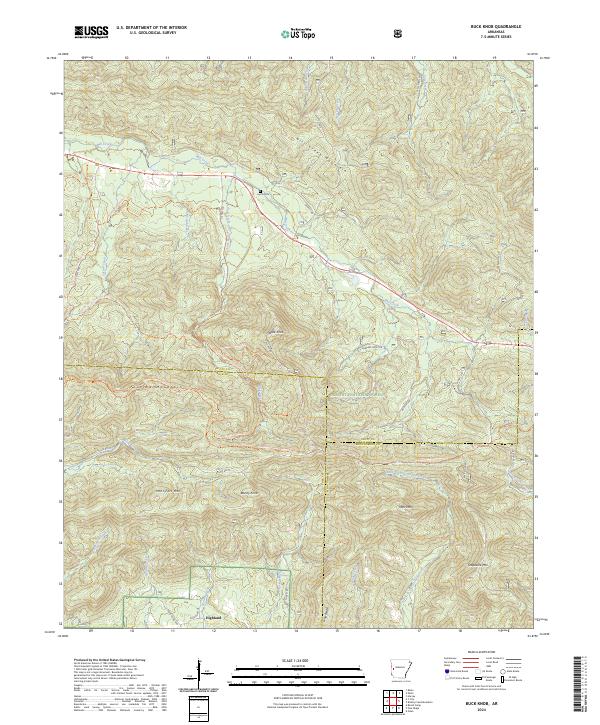
2024 Buck Knob
Scott County, AR
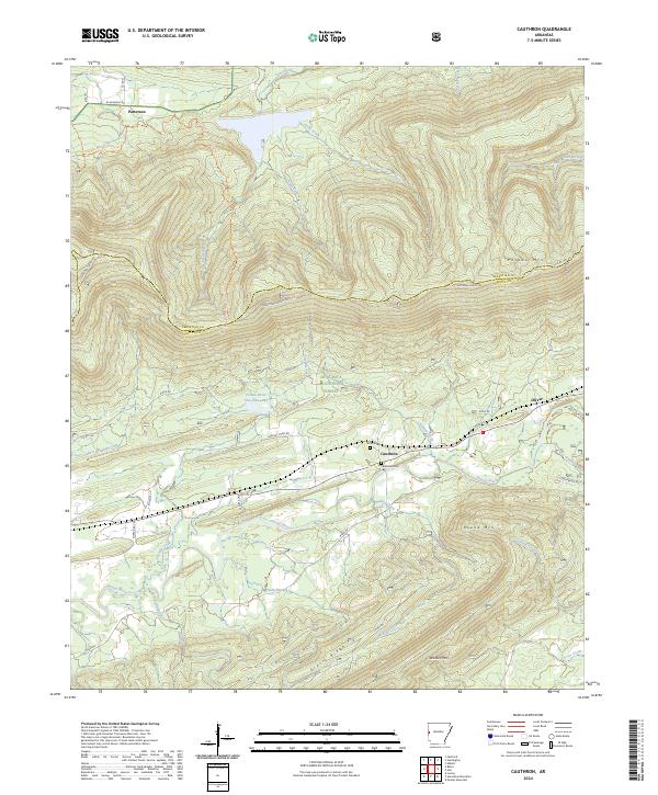
2024 Cauthron
Scott County, AR
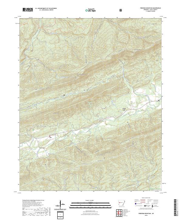
2024 Freedom Mountain
Scott County, AR
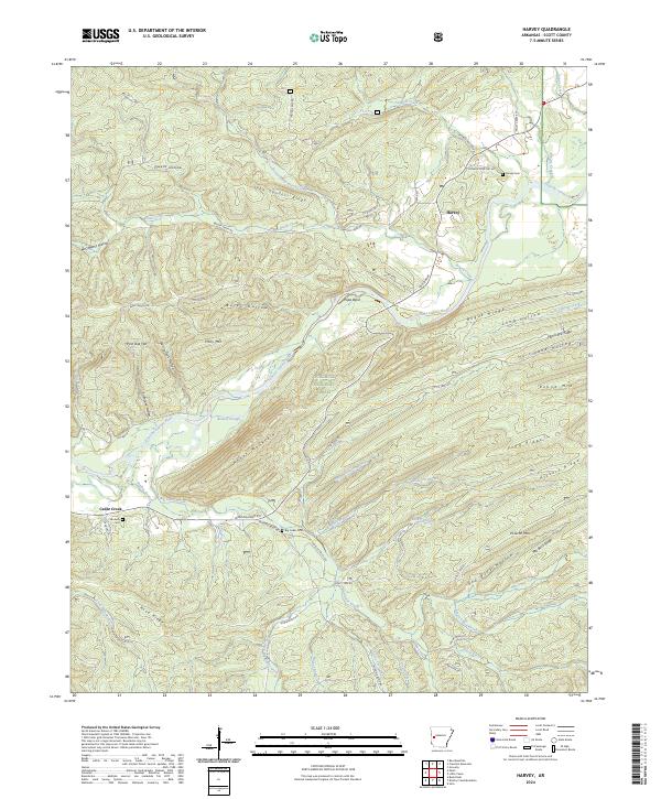
2024 Harvey
Scott County, AR
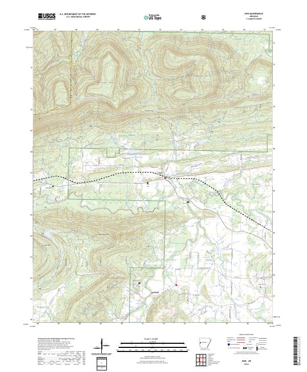
2024 Hon
Scott County, AR
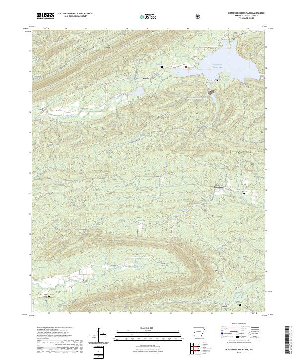
2024 Horseshoe Mountain
Scott County, AR
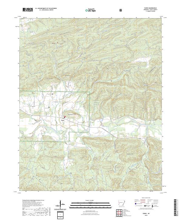
2024 Parks
Scott County, AR
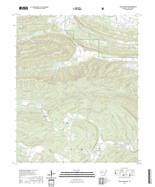
2024 Peanut Mountain
Scott County, AR