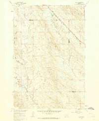
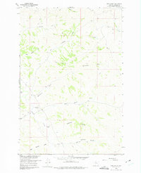
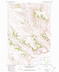
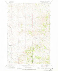
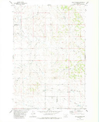
1960 Map of Ahles
USGS Topo · Published 1962This historical map portrays the area of Ahles in 1960, primarily covering Treasure County as well as portions of Rosebud County. Featuring a scale of 1:24000, this map provides a highly detailed snapshot of the terrain, roads, buildings, counties, and historical landmarks in the Ahles region at the time. Published in 1962, it is one of 2 known editions of this map due to revisions or reprints.
Find a feature on this map
8 named features on this map. Tap any name to fly to it.
Don’t see what you’re looking for? This feature index may not catch every label — zoom into the map to look around manually.
Map Details
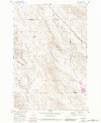
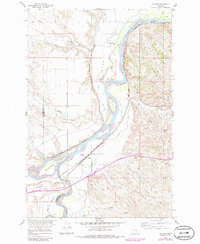
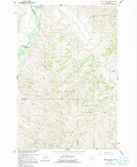
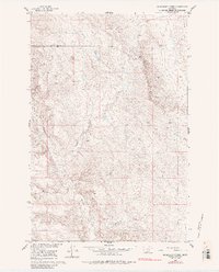
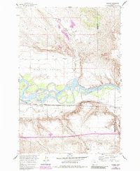
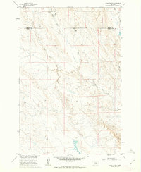
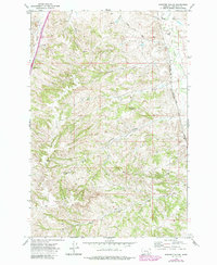
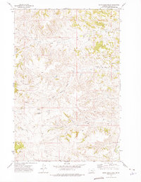
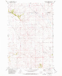
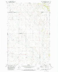
Editions of this 1960 Ahles Map
2 editions found
Historical Maps of Treasure County Through Time
18 maps found
1960 Ahles
Treasure County, MT
1960 Bighorn
Treasure County, MT
1960 Eldering Ranch
Treasure County, MT
1960 Hope Ranch
Treasure County, MT
1960 Marsh Coulee
Treasure County, MT
1960 Mc Konkey Creek
Treasure County, MT
1960 Myers
Treasure County, MT
1960 Rancher Cemetery
Treasure County, MT
1960 Sanders
Treasure County, MT
1960 Steie Ranch
Treasure County, MT
1972 Minnehaha Creek North
Treasure County, MT
1972 Minnehaha Creek South
Treasure County, MT
1972 Scraper Coulee
Treasure County, MT
1972 South Bear Creek
Treasure County, MT
1972 Woods Water
Treasure County, MT
1979 Devils Kitchen
Treasure County, MT
1980 Ruskosky Ridge
Treasure County, MT
1980 Weed Creek East
Treasure County, MT