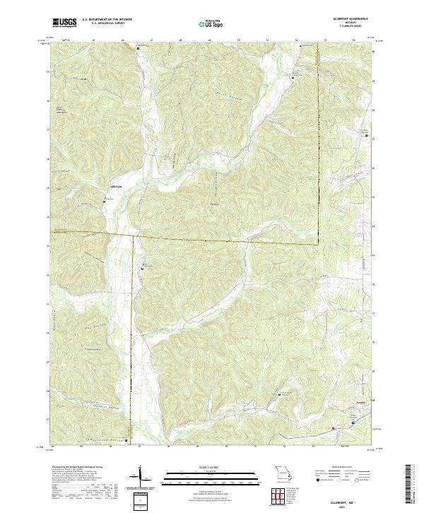
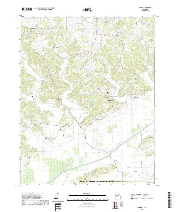
2021 Map of Allbright
USGS Topo · Published 2021About this map
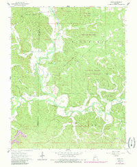
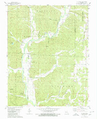
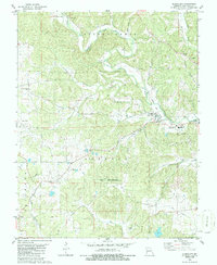
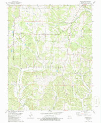
The Upper Castor River snakes through the deep hollows of the eastern Saint Francois Mountains, defining the geography of this rural Missouri landscape. Near the border of Madison and Bollinger Counties, the small settlement of Allbright serves as a central point in a region characterized by its numerous family and community burial grounds, such as Rhodes Cem and Kinder Chapel Cem. The terrain is marked by distinct valleys including White Hollow and Wolfpen Hollow, which run between significant heights like Big Rock.
Find a feature on this map
58 named features on this map. Tap any name to fly to it.
Don’t see what you’re looking for? This feature index may not catch every label — zoom into the map to look around manually.
Map Details
Editions of this 2021 Allbright Map
This is the sole edition of this map. No revisions or reprints were ever made.
Historical Maps of Allbright Through Time
19 maps found

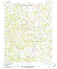
1959 Patton
Bollinger County, MO
1963 Dongola
Bollinger County, MO
1963 Gipsy
Bollinger County, MO
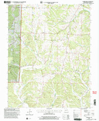
1963 Sturdivant
Bollinger County, MO
1964 Gipsy
Bollinger County, MO
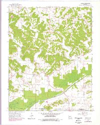
1980 Allbright
Bollinger County, MO
1980 Glenallen
Bollinger County, MO
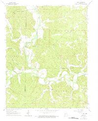
1980 Hurricane
Bollinger County, MO
1980 Scopus
Bollinger County, MO
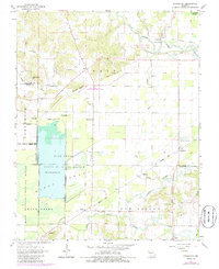
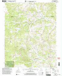
2000 Hurricane
Bollinger County, MO
2000 Patton
Bollinger County, MO
2021 Allbright
Bollinger County, MO
2021 Dongola
Bollinger County, MO
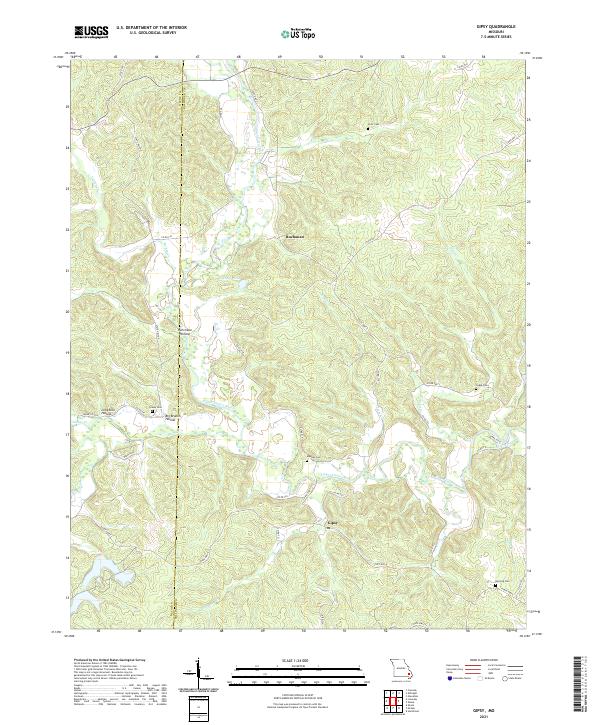
2021 Gipsy
Bollinger County, MO
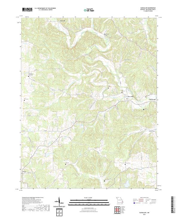
2021 Glenallen
Bollinger County, MO
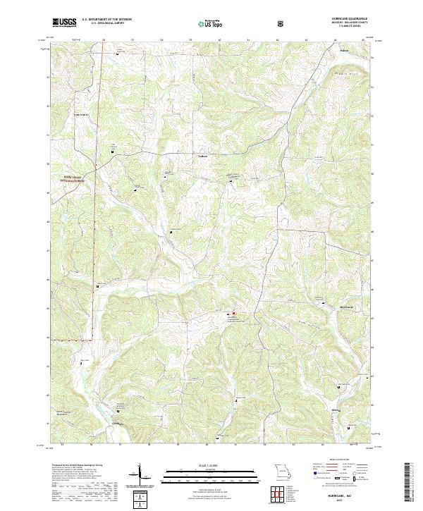
2021 Hurricane
Bollinger County, MO
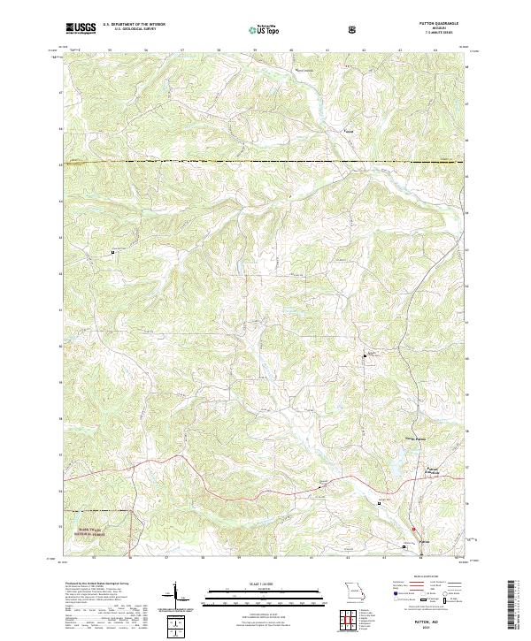
2021 Patton
Bollinger County, MO
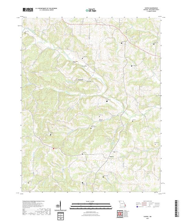
2021 Scopus
Bollinger County, MO
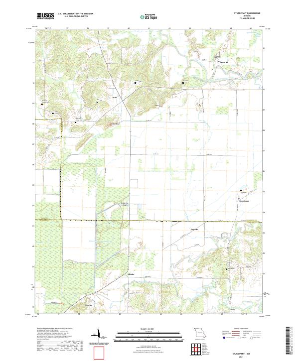
2021 Sturdivant
Bollinger County, MO