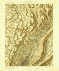
1922 Map of Altoona
USGS Topo · Published 1922About this map
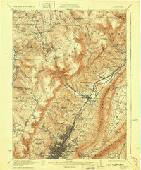
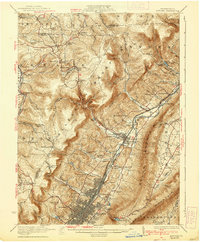
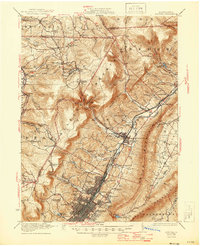
Altoona and the surrounding Logan and Antis townships are defined by the dense industrial and transit corridor carved between the Allegheny Mountains and Brush Mountain. In the early 1920s, the Pennsylvania RR served as the primary engine of development, anchoring major rail yards at East Altoona and connecting the valley settlements of Bellwood and Tipton. The map reveals a landscape of industrial logistics, from the Allegheny Reservoir providing water for the growing city to the sprawling grid of the East End.
Find a feature on this map
92 named features on this map. Tap any name to fly to it.
Don’t see what you’re looking for? This feature index may not catch every label — zoom into the map to look around manually.
Map Details
Editions of this 1922 Altoona Map
8 editions found

Other maps of this area

1901 · Huntingdon
USGS Topo · 1:62,500

1902 · Ebensburg
USGS Topo · 1:62,500

1902 · Patton
USGS Topo · 1:62,500

1902 · Hollidaysburg
USGS Topo · 1:62,500

1903 · Curwensville
USGS Topo · 1:62,500

1903 · Hollidaysburg
USGS Topo · 1:62,500

1903 · Houtzdale
USGS Topo · 1:62,500

1904 · Huntingdon
USGS Topo · 1:62,500

1904 · Patton
USGS Topo · 1:62,500

1904 · Ebensburg
USGS Topo · 1:62,500