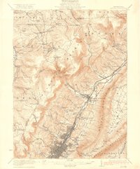
1922 Map of Altoona
USGS Topo · Published 1922About this map
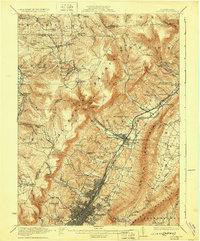
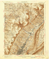
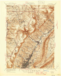
The industrial hub of Altoona and its surrounding rail-dominated landscape define this 1920s survey. The city's dense grid, punctuated by Grandview Cemetery and Rose Hill Cemetery, is physically hemmed in by the massive rise of Allegheny Mountain to the west. This topographical barrier forced the development of the Pennsylvania Railroad corridor, which travels through East Altoona and Pinecroft toward the borough of Bellwood. To the east, the Little Juniata River snakes through the narrow valley between the high ridges of Brush Mountain.
Find a feature on this map
90 named features on this map. Tap any name to fly to it.
Don’t see what you’re looking for? This feature index may not catch every label — zoom into the map to look around manually.
Map Details
Editions of this 1922 Altoona Map
8 editions found

Other maps of this area

1901 · Huntingdon
USGS Topo · 1:62,500

1902 · Ebensburg
USGS Topo · 1:62,500

1902 · Patton
USGS Topo · 1:62,500

1902 · Hollidaysburg
USGS Topo · 1:62,500

1903 · Curwensville
USGS Topo · 1:62,500

1903 · Hollidaysburg
USGS Topo · 1:62,500

1903 · Houtzdale
USGS Topo · 1:62,500

1904 · Huntingdon
USGS Topo · 1:62,500

1904 · Patton
USGS Topo · 1:62,500

1904 · Ebensburg
USGS Topo · 1:62,500