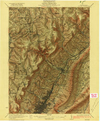
1922 Map of Altoona
USGS Topo · Published 1922About this map
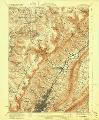
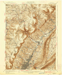
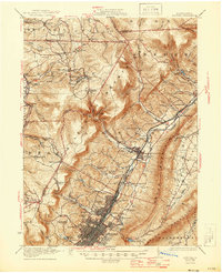
Altoona and its industrial environs serve as the focal point of this 1920s survey, illustrating a dense grid of residential and commercial development alongside the Pennsylvania railroad lines. The city spreads toward Juniata and East End, while the surrounding terrain is dominated by the dramatic ascent of the Allegheny Front and the linear ridge of Brush Mountain. This landscape is marked by the sharp contrast between the burgeoning urban center and the numerous rural schoolhouses and small settlements scattered through the gaps and hollows, such as Lloydville and Wopsononock.
Find a feature on this map
98 named features on this map. Tap any name to fly to it.
Don’t see what you’re looking for? This feature index may not catch every label — zoom into the map to look around manually.
Map Details
Editions of this 1922 Altoona Map
8 editions found

Other maps of this area

1901 · Huntingdon
USGS Topo · 1:62,500

1902 · Ebensburg
USGS Topo · 1:62,500

1902 · Patton
USGS Topo · 1:62,500

1902 · Hollidaysburg
USGS Topo · 1:62,500

1903 · Curwensville
USGS Topo · 1:62,500

1903 · Hollidaysburg
USGS Topo · 1:62,500

1903 · Houtzdale
USGS Topo · 1:62,500

1904 · Huntingdon
USGS Topo · 1:62,500

1904 · Patton
USGS Topo · 1:62,500

1904 · Ebensburg
USGS Topo · 1:62,500