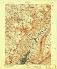
1922 Map of Altoona
USGS Topo · Published 1930About this map
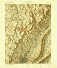
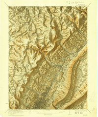
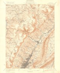
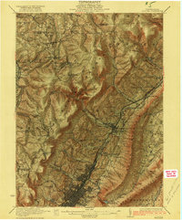
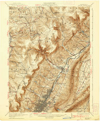
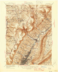
The massive urban grid of Altoona dominates the southern landscape of this 1920s survey, showing the city at its industrial height as a major hub for the Pennsylvania railroad. This network of tracks, shops, and yards snakes northward through the valley, connecting satellite communities like East Altoona, Bellwood, and Tipton. The map illustrates the dramatic relief between the flat valley floor and the steep escarpment of Allegheny Mountain, which dictates the path of every road and rail line. Beyond the industrial corridor, the map is dotted with dozens of small rural institutions such as the McKnight School, Martz School, and the Sahmbin Rest School. Higher elevations reveal smaller settlements like Blandburg and Lloydville, alongside the winding route of the Altoona Northern railroad as it climbs through the gaps. From the sprawling Grandview Cemetery to the numerous reservoirs providing water for the growing population, this sheet captures the complex geography of Blair County.
Find a feature on this map
108 named features on this map. Tap any name to fly to it.
Don’t see what you’re looking for? This feature index may not catch every label — zoom into the map to look around manually.
Map Details
Editions of this 1922 Altoona Map
8 editions found

Other maps of this area

1901 · Huntingdon
USGS Topo · 1:62,500

1902 · Ebensburg
USGS Topo · 1:62,500

1902 · Patton
USGS Topo · 1:62,500

1902 · Hollidaysburg
USGS Topo · 1:62,500

1903 · Curwensville
USGS Topo · 1:62,500

1903 · Hollidaysburg
USGS Topo · 1:62,500

1903 · Houtzdale
USGS Topo · 1:62,500

1904 · Huntingdon
USGS Topo · 1:62,500

1904 · Patton
USGS Topo · 1:62,500

1904 · Ebensburg
USGS Topo · 1:62,500