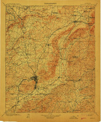
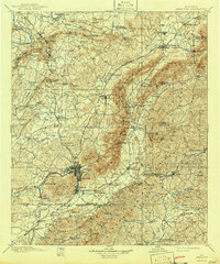
1900 Map of Anniston
USGS Topo · Published 1913About this map
Jacksonville and Anniston anchor this landscape during a period of significant industrial and transportation expansion across Alabama. The topography is dominated by the northeast-trending ridges of Horseblock Mountain and Broom Mountain, which dictate the paths of an extensive railroad network. Major lines including the Southern Railway, Louisville and Nashville Railroad, and the East and West Railroad converge here, connecting the iron and timber of the hills to regional markets.
Find a feature on this map
150 named features on this map. Tap any name to fly to it.
Don’t see what you’re looking for? This feature index may not catch every label — zoom into the map to look around manually.
Map Details
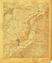
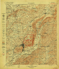
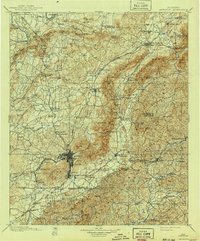
Editions of this 1900 Anniston Map
6 editions found

Other maps of this area

1885 · Gadsden
USGS Topo · 1:125,000

1886 · Rome
USGS Topo · 1:125,000

1888 · Gadsden
USGS Topo · 1:125,000

1889 · Tallapoosa
USGS Topo · 1:125,000

1889 · Springville
USGS Topo · 1:125,000

1890 · Talladega
USGS Topo · 1:125,000

1891 · Ashland
USGS Topo · 1:125,000

1892 · Springville
USGS Topo · 1:125,000

1892 · Talladega
USGS Topo · 1:125,000

1892 · Tallapoosa
USGS Topo · 1:125,000