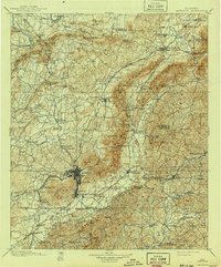
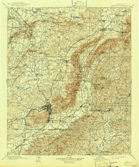
1900 Map of Anniston
USGS Topo · Published 1941About this map
Anniston serves as the industrial and transportation anchor of this late 19th-century survey, where the Southern and Louisville and Nashville railroads converge. The landscape is defined by the massive ridge of Choccolocco Mountain, which separates the urban center from the more rural valleys to the east. Throughout the countryside, small industrial nodes like Whitesides Mill and Bensons Mill are situated along the watercourses, including Choccolocco Creek and the Tallapoosa River.
Find a feature on this map
141 named features on this map. Tap any name to fly to it.
Don’t see what you’re looking for? This feature index may not catch every label — zoom into the map to look around manually.
Map Details
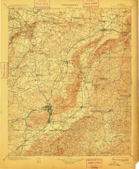
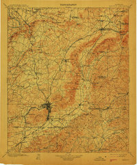
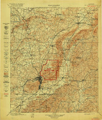
Editions of this 1900 Anniston Map
6 editions found

Other maps of this area

1885 · Gadsden
USGS Topo · 1:125,000

1886 · Rome
USGS Topo · 1:125,000

1888 · Gadsden
USGS Topo · 1:125,000

1889 · Tallapoosa
USGS Topo · 1:125,000

1889 · Springville
USGS Topo · 1:125,000

1890 · Talladega
USGS Topo · 1:125,000

1891 · Ashland
USGS Topo · 1:125,000

1892 · Springville
USGS Topo · 1:125,000

1892 · Talladega
USGS Topo · 1:125,000

1892 · Tallapoosa
USGS Topo · 1:125,000