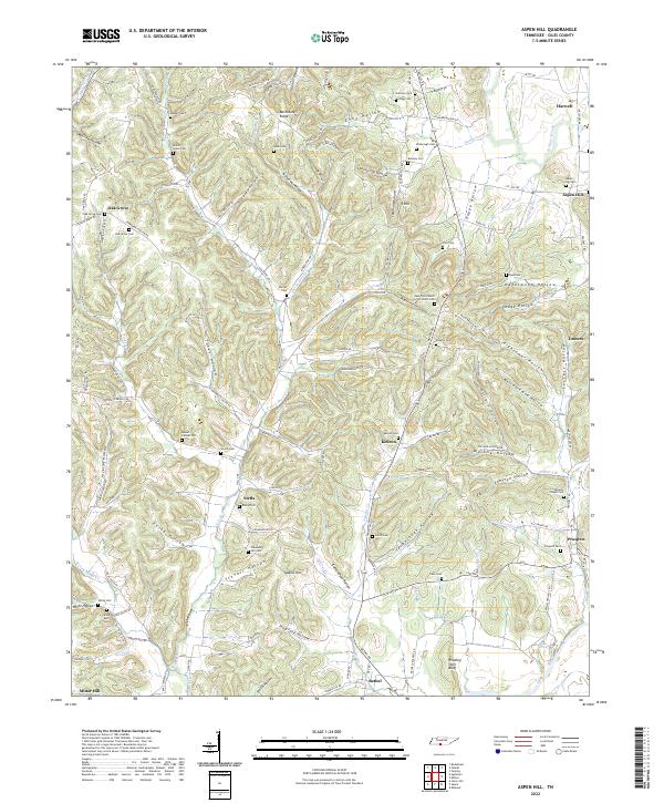
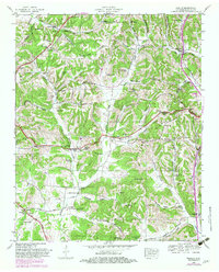
2022 Map of Aspen Hill
USGS Topo · Published 2022About this map
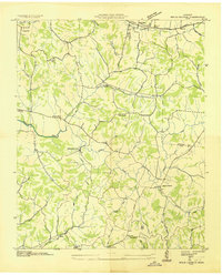
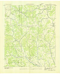
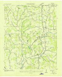
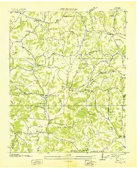
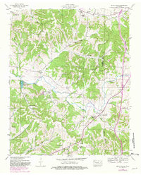
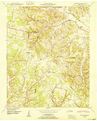
Richland Creek and the Elk River drainage define the topography of this corner of Giles County, where small agricultural settlements like Aspen Hill and Stella are connected by a network of hollows and ridges. The landscape is heavily marked by its genealogical record, with over twenty named burial grounds including the New Zion Church of Christ Cem, Kedron Cem, and Beech Grove Cem. These cemeteries are often located on high ground near family-named ridges like Barksdale Ridge or overlooking the deep indentations of McGrew Hollow and Hightower Hollow.
Find a feature on this map
125 named features on this map. Tap any name to fly to it.
Don’t see what you’re looking for? This feature index may not catch every label — zoom into the map to look around manually.
Map Details
Editions of this 2022 Aspen Hill Map
This is the sole edition of this map. No revisions or reprints were ever made.
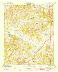
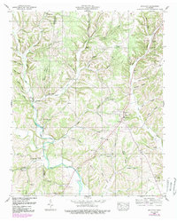
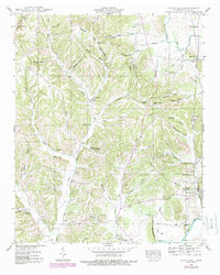
Historical Maps of Oak Grove Through Time
26 maps found
1936 Appleton
Giles County, TN
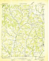
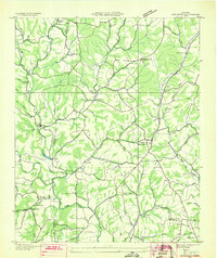
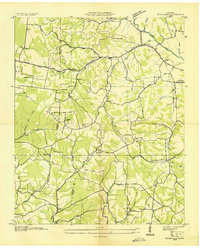
1936 Aspen Hill
Giles County, TN
1936 Bodenham
Giles County, TN
1936 Brick Church
Giles County, TN
1936 Campbellsville
Giles County, TN
1936 Milky Way
Giles County, TN
1936 Tarpley
Giles County, TN
1946 Brick Church
Giles County, TN
1948 Appleton
Giles County, TN
1948 Aspen Hill
Giles County, TN
1948 Bodenham
Giles County, TN
1948 Tarpley
Giles County, TN
1949 Brick Church
Giles County, TN
1950 Appleton
Giles County, TN
1950 Aspen Hill
Giles County, TN
1950 Bodenham
Giles County, TN
1951 Campbellsville
Giles County, TN
1951 Milky Way
Giles County, TN
1951 Tarpley
Giles County, TN
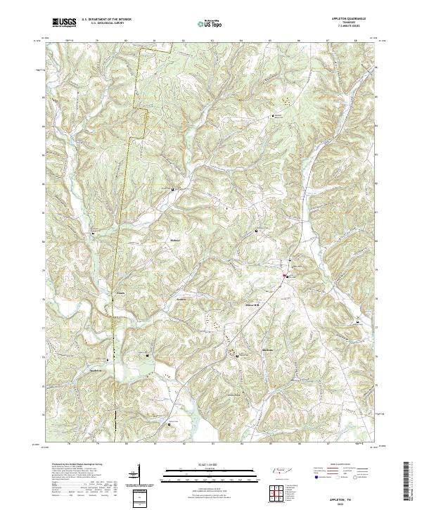
2022 Appleton
Giles County, TN
2022 Aspen Hill
Giles County, TN
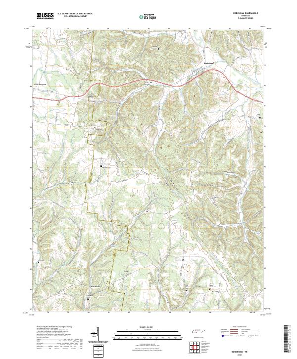
2022 Bodenham
Giles County, TN
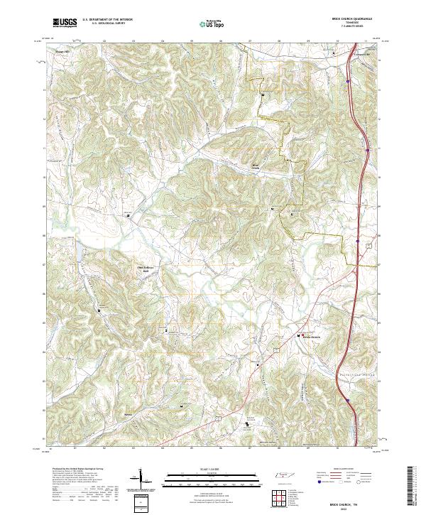
2022 Brick Church
Giles County, TN
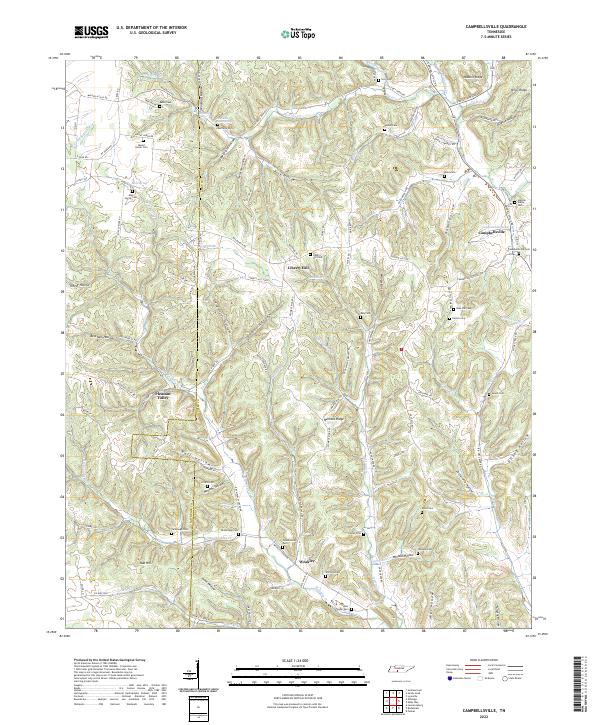
2022 Campbellsville
Giles County, TN
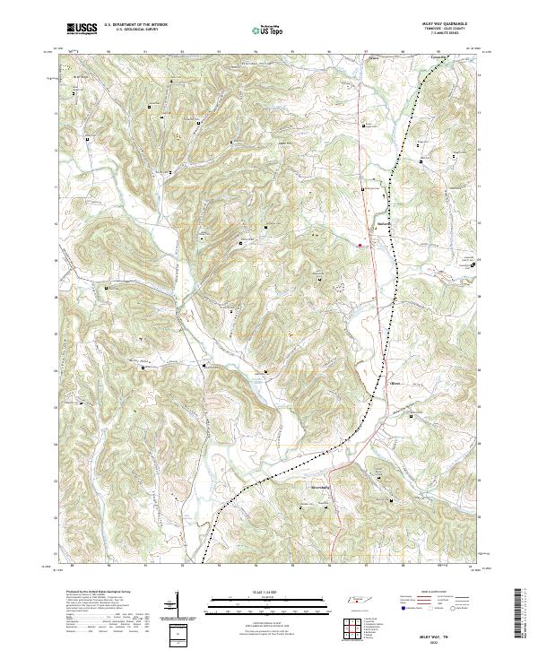
2022 Milky Way
Giles County, TN
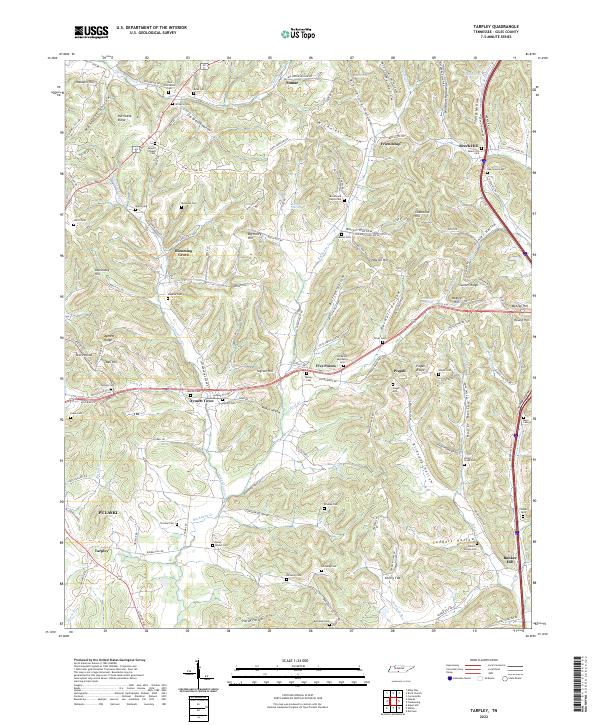
2022 Tarpley
Giles County, TN