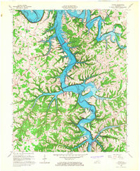
1965 Map of Austin
USGS Topo · Published 1967About this map
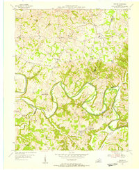
Barren River Reservoir dominates this mid-1960s landscape, with its dendritic shoreline carving deep into the borders of Allen and Barren Counties. The map captures a moment of transition where the newly controlled waters meet established upland communities. Traditional centers of local life like Austin, Maynard, and Cedar Springs are mapped alongside numerous rural sanctuaries, including Corinth Ch, Hopewell Ch, and Durham Springs Ch.
Find a feature on this map
30 named features on this map. Tap any name to fly to it.
Don’t see what you’re looking for? This feature index may not catch every label — zoom into the map to look around manually.
Map Details
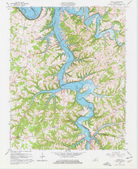
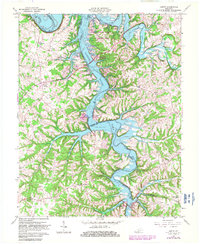
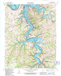
Editions of this 1965 Austin Map
4 editions found
Other maps of this area

1926 · Scottsville
USGS Topo · 1:62,500

1931 · Lafayette
USGS Topo · 1:62,500

1931 · Red Boiling Springs
USGS Topo · 1:62,500

1953 · Tracy
USGS Topo · 1:24,000

1953 · Glasgow South
USGS Topo · 1:24,000

1954 · Austin
USGS Topo · 1:24,000

1954 · Fountain Run
USGS Topo · 1:24,000

1954 · Petroleum
USGS Topo · 1:24,000

1954 · Scottsville
USGS Topo · 1:24,000
1954 · Meador
USGS Topo · 1:24,000