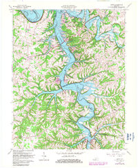
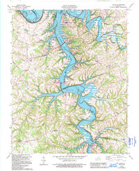
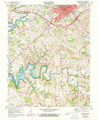
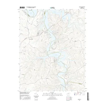
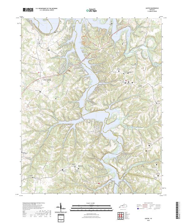
1965 Map of Austin
USGS Topo · Published 1982About this map
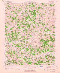
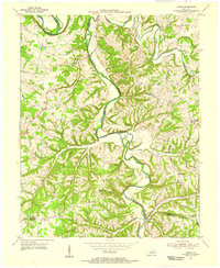
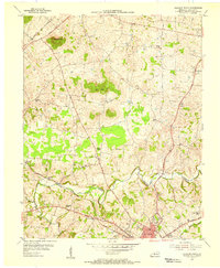
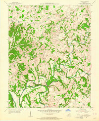
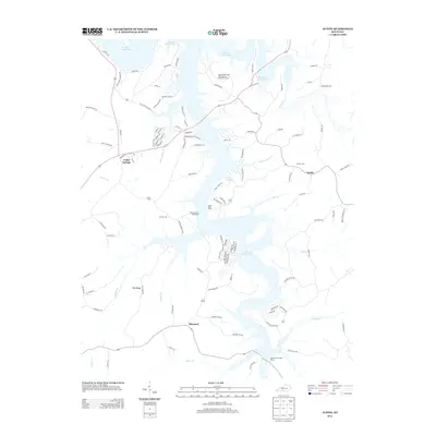
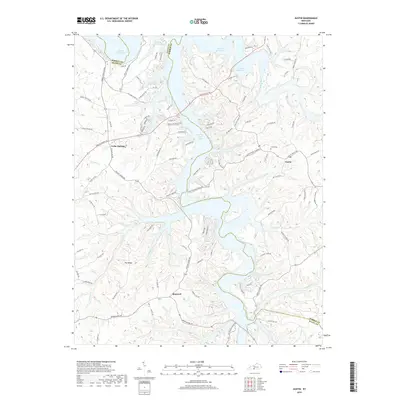
The Barren River Lake reservoir dominates this central Kentucky landscape, reflecting a 1960s transformation of the Barren River valley. This updated survey shows the extensive recreation infrastructure that emerged around the impounded waters, including the Barren River Lake State Resort Park and several public access points like the Austin Recreation Site and Browns Ford Recreation Site. While the reservoir altered the terrain, the established rural fabric remains visible in settlements like Austin and Maynard, alongside numerous country churches such as Corinth Ch and Pleasant Home Ch.
Find a feature on this map
31 named features on this map. Tap any name to fly to it.
Don’t see what you’re looking for? This feature index may not catch every label — zoom into the map to look around manually.
Map Details
Editions of this 1965 Austin Map
4 editions found
Historical Maps of Maynard Through Time
43 maps found
1953 Glasgow South
Barren County, KY
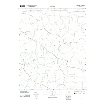
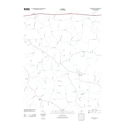
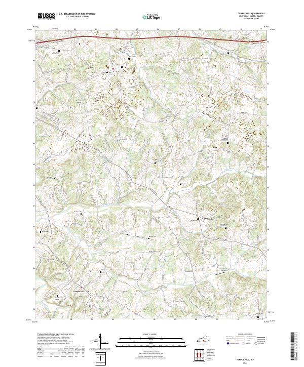
1953 Temple Hill
Barren County, KY

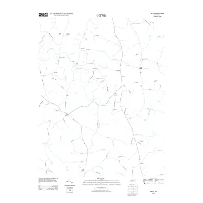
1953 Tracy
Barren County, KY
1954 Austin
Barren County, KY
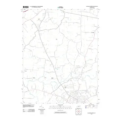
1954 Glasgow North
Barren County, KY
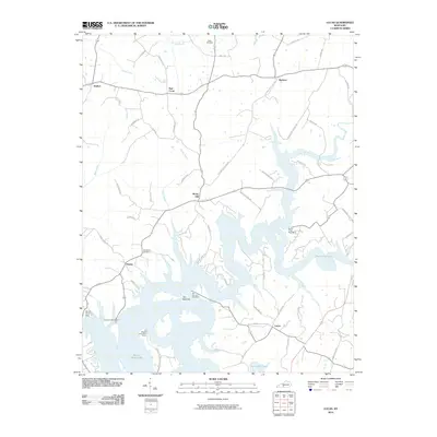
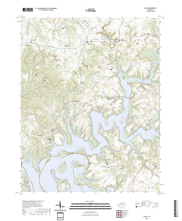
1954 Lucas
Barren County, KY
1965 Austin
Barren County, KY
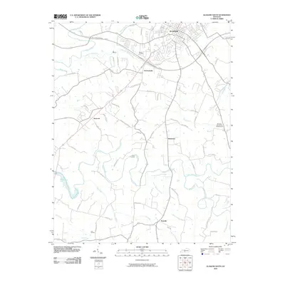
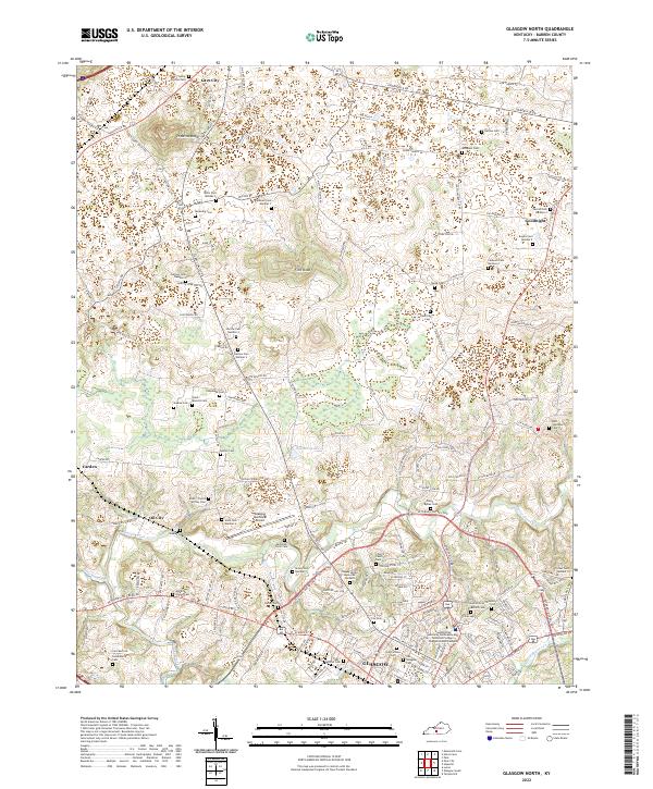
1965 Glasgow North
Barren County, KY
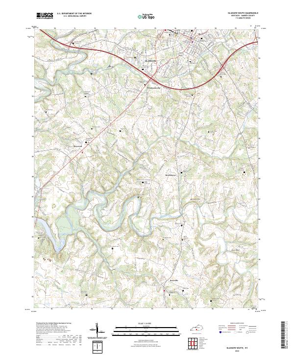
1965 Glasgow South
Barren County, KY
1973 Glasgow North
Barren County, KY
1973 Glasgow South
Barren County, KY
1973 Temple Hill
Barren County, KY
1979 Tracy
Barren County, KY
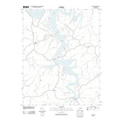
2010 Austin
Barren County, KY
2010 Glasgow North
Barren County, KY
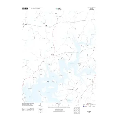
2010 Glasgow South
Barren County, KY
2010 Lucas
Barren County, KY
2010 Temple Hill
Barren County, KY
2010 Tracy
Barren County, KY
2013 Austin
Barren County, KY
2013 Glasgow North
Barren County, KY
2013 Glasgow South
Barren County, KY
2013 Lucas
Barren County, KY
2013 Temple Hill
Barren County, KY
2013 Tracy
Barren County, KY
2016 Austin
Barren County, KY
2016 Glasgow North
Barren County, KY
2016 Glasgow South
Barren County, KY
2016 Lucas
Barren County, KY
2016 Temple Hill
Barren County, KY
2016 Tracy
Barren County, KY
2019 Austin
Barren County, KY
2019 Glasgow North
Barren County, KY
2019 Glasgow South
Barren County, KY
2019 Lucas
Barren County, KY
2019 Temple Hill
Barren County, KY
2019 Tracy
Barren County, KY
2022 Austin
Barren County, KY
2022 Glasgow North
Barren County, KY
2022 Glasgow South
Barren County, KY
2022 Lucas
Barren County, KY
2022 Temple Hill
Barren County, KY
2022 Tracy
Barren County, KY