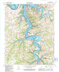
1965 Map of Austin
USGS Topo · Published 1995About this map
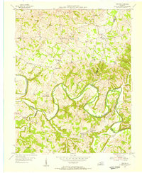
Barren River Lake dominates the center of this Barren County landscape, marking a significant era of hydraulic transformation along the Barren River. The map, originally surveyed in the 1950s and updated through the early 1990s, illustrates the complex intersection of older rural settlements like Austin and Cedar Springs with the development of the State Resort Park. These recreational developments, including the Browns Ford Boat Ramp and Park Supt Res, were superimposed over an existing network of family farms and country churches. Local history is deeply embedded in sites like Pleasant Home Ch and Durham Springs Ch, while the presence of numerous Oil Wells and Oil Wells across the uplands near Pea Ridge highlights the region's extraction history. The Austin-Tracy Sch serves as a central community landmark in a terrain defined by deep creek valleys like Peter Creek and Hurricane Creek.
Find a feature on this map
42 named features on this map. Tap any name to fly to it.
Don’t see what you’re looking for? This feature index may not catch every label — zoom into the map to look around manually.
Map Details
Editions of this 1965 Austin Map
4 editions found
Other maps of this area

1926 · Scottsville
USGS Topo · 1:62,500

1931 · Lafayette
USGS Topo · 1:62,500

1931 · Red Boiling Springs
USGS Topo · 1:62,500

1953 · Tracy
USGS Topo · 1:24,000

1953 · Glasgow South
USGS Topo · 1:24,000

1954 · Austin
USGS Topo · 1:24,000

1954 · Fountain Run
USGS Topo · 1:24,000

1954 · Petroleum
USGS Topo · 1:24,000

1954 · Scottsville
USGS Topo · 1:24,000
1954 · Meador
USGS Topo · 1:24,000