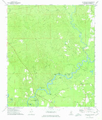
2024 Map of Avera
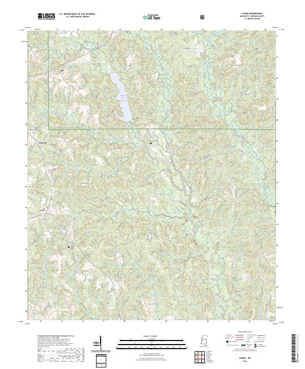
USGS Topo · Published 2024This historical map portrays the area of Avera in 2024, primarily covering Greene County. Featuring a scale of 1:24000, this map provides a highly detailed snapshot of the terrain, roads, buildings, counties, and historical landmarks in the Avera region at the time. Published in 2024, it is the sole known edition of this map.
Map Details
Editions of this 2024 Avera Map
This is the sole edition of this map. No revisions or reprints were ever made.
Historical Maps of Greene County Through Time
19 maps found
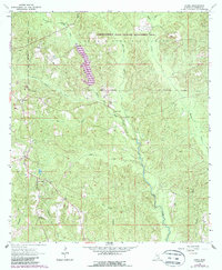
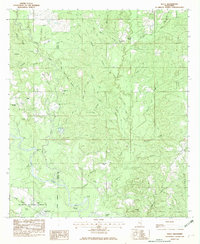
1963 Brewer
Greene County, MS
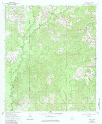
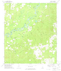
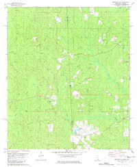
1964 Avera
Greene County, MS
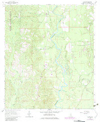
1964 Clark
Greene County, MS
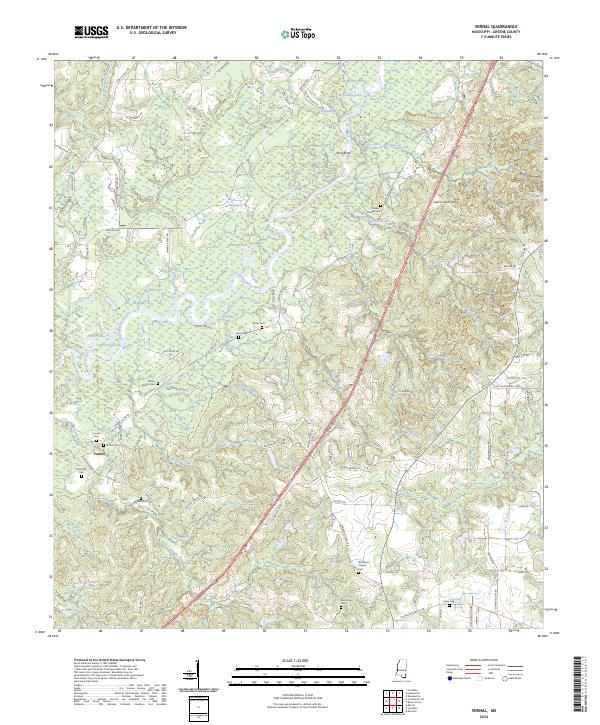
1972 Vernal
Greene County, MS
1973 Jonathan
Greene County, MS
1973 Leakesville SW
Greene County, MS
1982 Brown Town
Greene County, MS
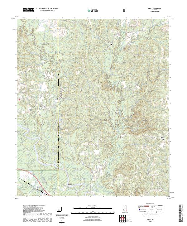
1982 Neely
Greene County, MS
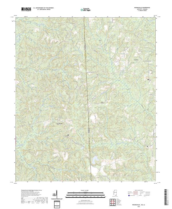
1982 Rounsaville
Greene County, MS
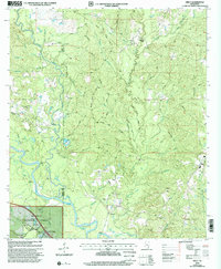
2000 Neely
Greene County, MS
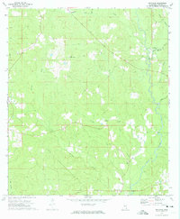
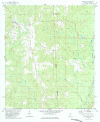
2024 Avera
Greene County, MS
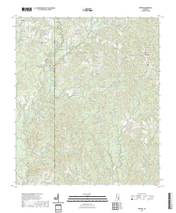
2024 Brewer
Greene County, MS
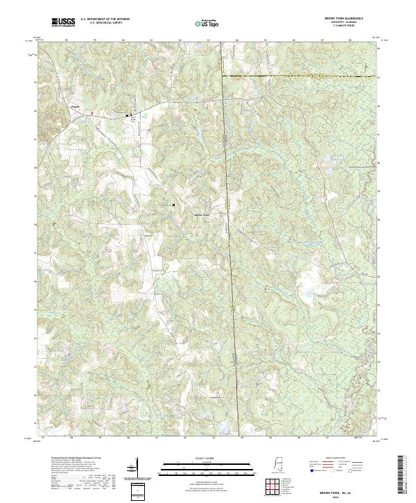
2024 Brown Town
Greene County, MS
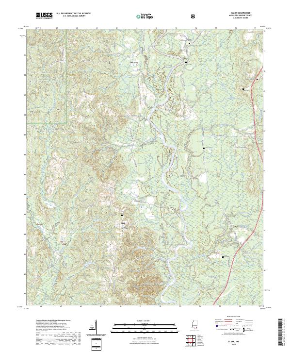
2024 Clark
Greene County, MS
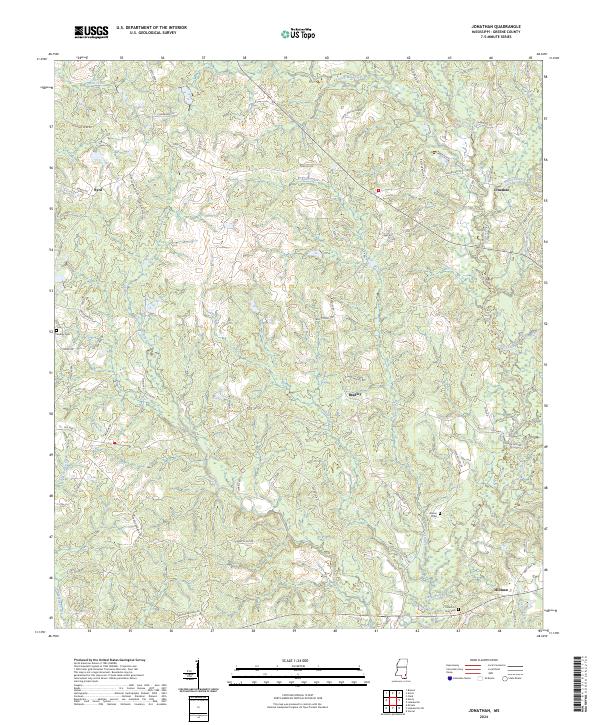
2024 Jonathan
Greene County, MS
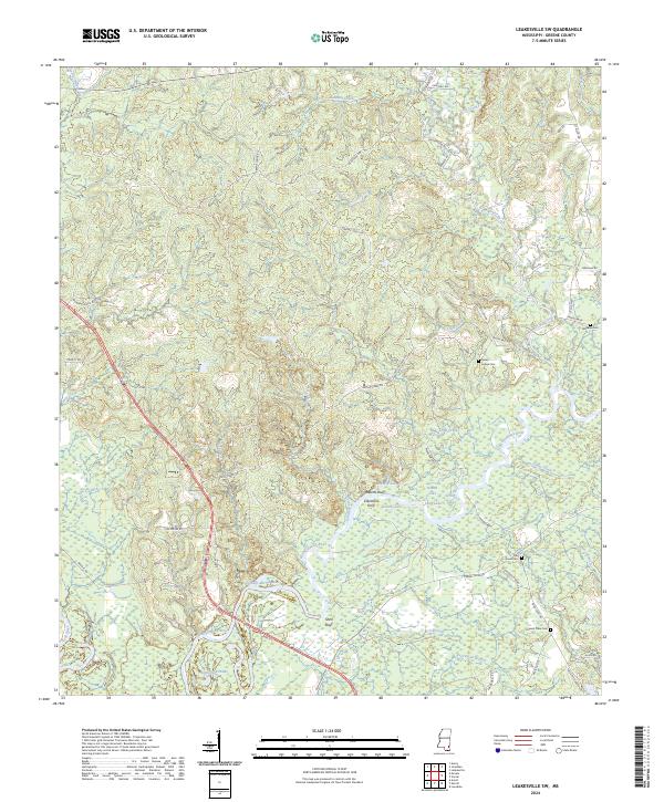
2024 Leakesville SW
Greene County, MS
2024 Neely
Greene County, MS
2024 Rounsaville
Greene County, MS
2024 Vernal
Greene County, MS