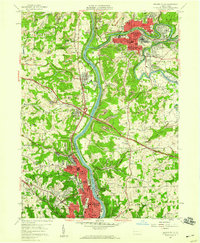
1957 Map of Beaver Falls
USGS Topo · Published 1958About this map
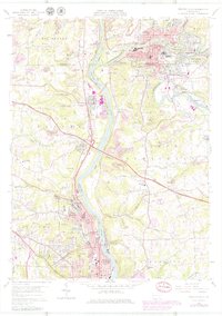
Beaver Falls and Ellwood City anchor this industrial corridor along the Beaver River and Connoquenessing Creek during the late 1950s. The landscape is a complex mix of dense urban development, active resource extraction, and expanding transportation infrastructure. The newly constructed Pennsylvania Turnpike cuts through the center of the sheet, intersecting the valley near Koppel. In the southern half, College Hill is dominated by the campus of Geneva College, while the surrounding hillsides are marked by numerous Strip Mines and local schools like Hillcrest Sch and North Star Sch.
Find a feature on this map
70 named features on this map. Tap any name to fly to it.
Don’t see what you’re looking for? This feature index may not catch every label — zoom into the map to look around manually.
Map Details
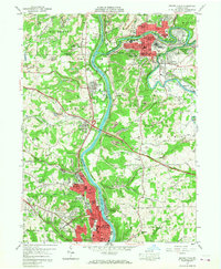
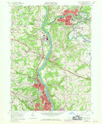
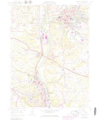
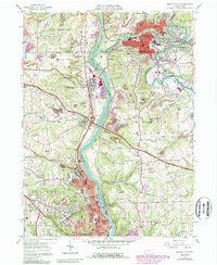
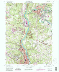
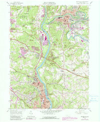
Editions of this 1957 Beaver Falls Map
8 editions found
Other maps of this area

1901 · Beaver
USGS Topo · 1:62,500

1902 · New Castle
USGS Topo · 1:62,500

1904 · Newcastle
USGS Topo · 1:62,500

1904 · Beaver
USGS Topo · 1:62,500

1906 · Sewickley
USGS Topo · 1:62,500

1908 · Sewickley
USGS Topo · 1:62,500

1908 · Zelienople
USGS Topo · 1:62,500

1910 · Zelienople
USGS Topo · 1:62,500

1951 · Canton
USGS Topo · 1:250,000

1953 · Canton
USGS Topo · 1:250,000