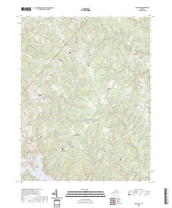
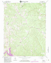
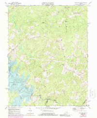
2022 Map of Belmont
USGS Topo · Published 2022About this map
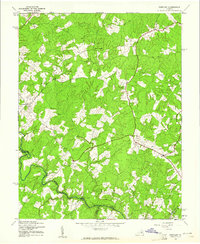
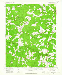
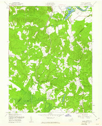
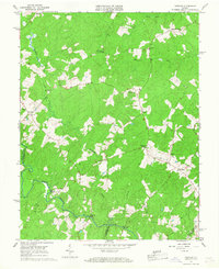
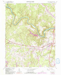
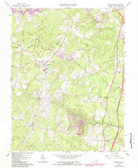
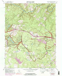
The agricultural and wooded lands of the Orange Co Spotsylvania Co border define this northern Virginia landscape. Small settlements like Bells Crossroad, Stubbs, and Paytes remain centers of local activity, often anchored by deep-rooted religious institutions such as Craigs Church Baptist Church and Olivet United Methodist Church. The topography is shaped by the southward flow of Robertson Run and Plentiful Creek toward the northern fingers of Lake Anna, where Perkinson Point extends into the water. For the local historian, the map reveals an extensive network of family cemeteries—including the Hall, Sullivan, and Preston Brooks sites—suggesting generations of land ownership and kinship ties across the rural countryside near Granite Springs.
Find a feature on this map
128 named features on this map. Tap any name to fly to it.
Don’t see what you’re looking for? This feature index may not catch every label — zoom into the map to look around manually.
Map Details
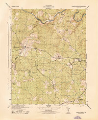
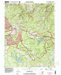
Editions of this 2022 Belmont Map
This is the sole edition of this map. No revisions or reprints were ever made.
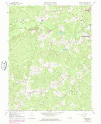
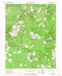
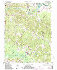
Historical Maps of Panier Through Time
32 maps found

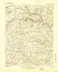
1887 Spottsylvania
Spotsylvania County, VA
1892 Spotsylvania
Spotsylvania County, VA
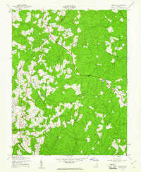
1942 Belmont
Spotsylvania County, VA
1942 Brokenburg
Spotsylvania County, VA

1942 Guinea
Spotsylvania County, VA
1942 Partlow
Spotsylvania County, VA
1942 Spotsylvania
Spotsylvania County, VA

1943 Chancellorsville
Spotsylvania County, VA

1943 Salem Church
Spotsylvania County, VA
1944 Chancellorsville
Spotsylvania County, VA

1944 Salem Church
Spotsylvania County, VA
1949 Guinea
Spotsylvania County, VA
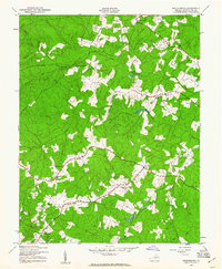
1966 Belmont
Spotsylvania County, VA
1966 Brokenburg
Spotsylvania County, VA
1966 Chancellorsville
Spotsylvania County, VA
1966 Guinea
Spotsylvania County, VA
1966 Partlow
Spotsylvania County, VA
1966 Salem Church
Spotsylvania County, VA
1966 Spotsylvania
Spotsylvania County, VA
1973 Chancellorsville
Spotsylvania County, VA
1973 Lake Anna East
Spotsylvania County, VA

1983 Fredericksburg
Spotsylvania County, VA
1994 Chancellorsville
Spotsylvania County, VA
1994 Salem Church
Spotsylvania County, VA
1994 Spotsylvania
Spotsylvania County, VA
2022 Belmont
Spotsylvania County, VA
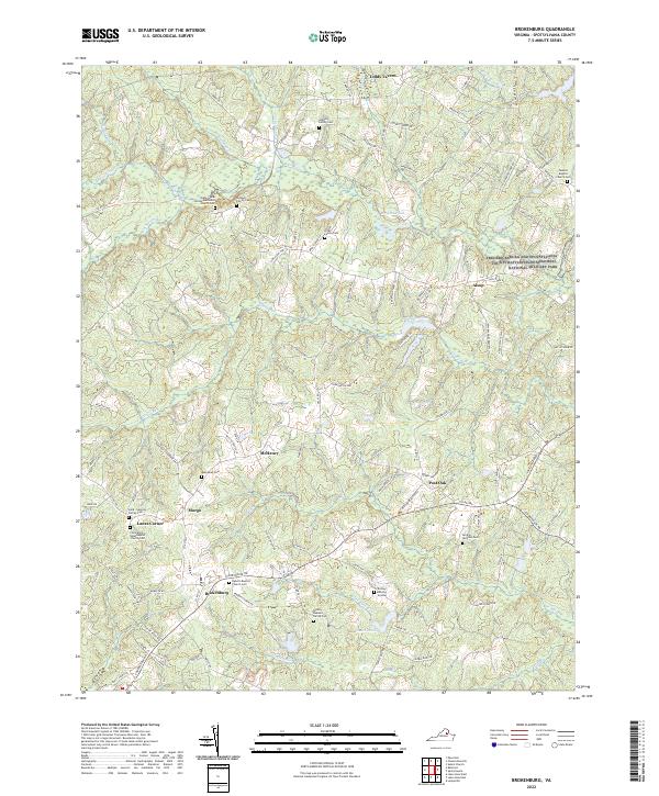
2022 Brokenburg
Spotsylvania County, VA
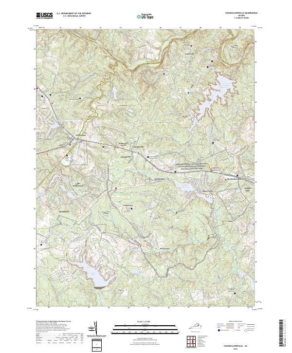
2022 Chancellorsville
Spotsylvania County, VA
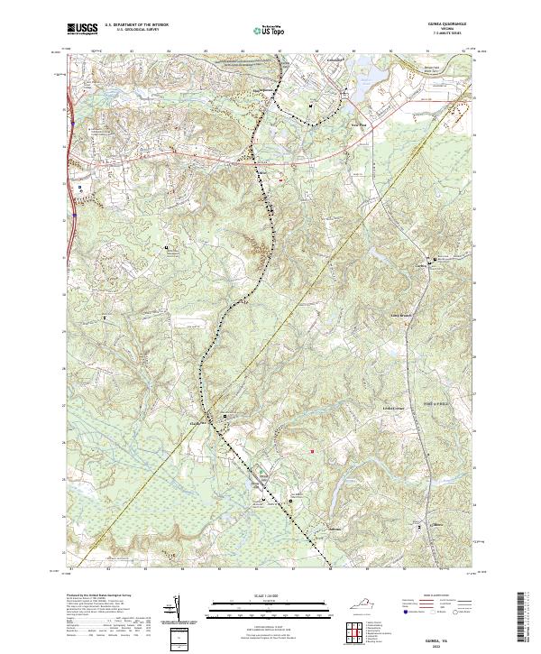
2022 Guinea
Spotsylvania County, VA
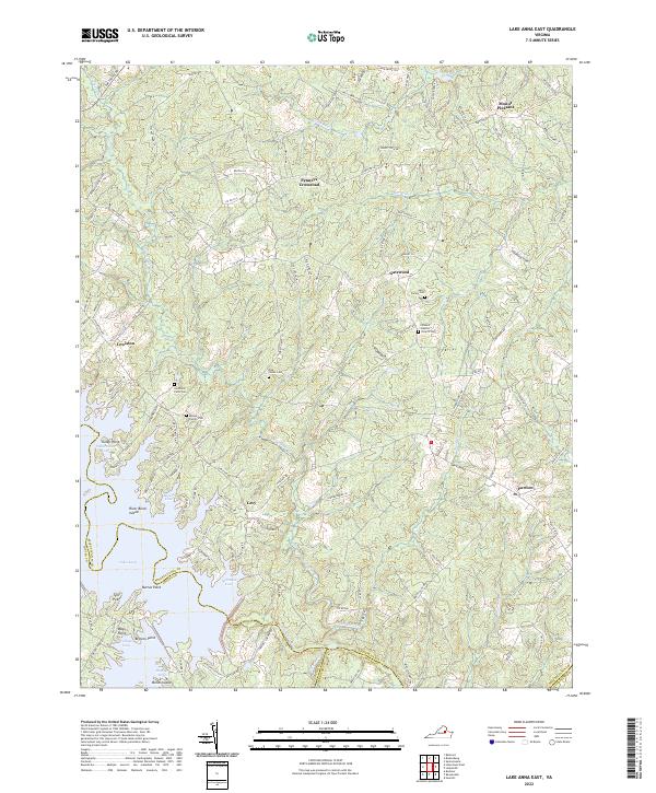
2022 Lake Anna East
Spotsylvania County, VA
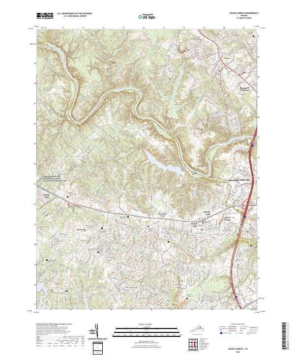
2022 Salem Church
Spotsylvania County, VA
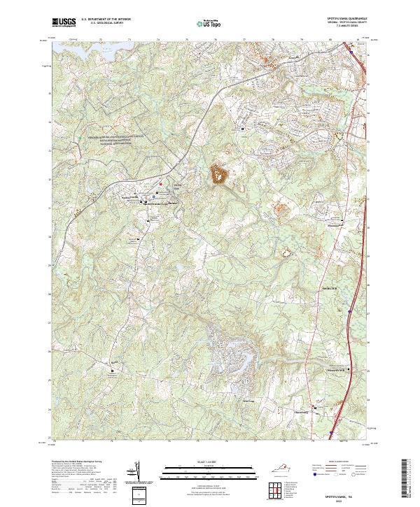
2022 Spotsylvania
Spotsylvania County, VA