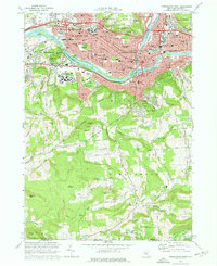
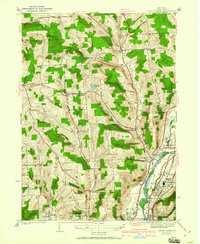
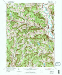
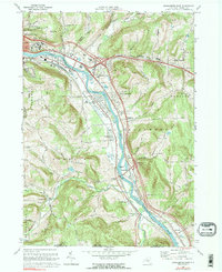
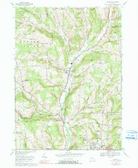
1968 Map of Binghamton West
USGS Topo · Published 1972This historical map portrays the area of Binghamton West in 1968, primarily covering Broome County. Featuring a scale of 1:24000, this map provides a highly detailed snapshot of the terrain, roads, buildings, counties, and historical landmarks in the Binghamton West region at the time. Published in 1972, it is one of 3 known editions of this map due to revisions or reprints.
Find a feature on this map
77 named features on this map. Tap any name to fly to it.
Don’t see what you’re looking for? This feature index may not catch every label — zoom into the map to look around manually.
Map Details
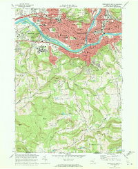
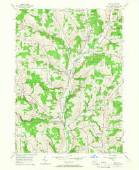
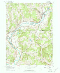
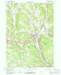
Editions of this 1968 Binghamton West Map
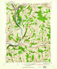
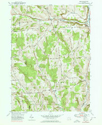
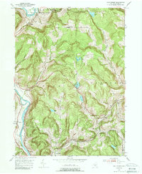
Historical Maps of Broome County Through Time
27 maps found
1905 Nineveh
Broome County, NY

1934 Castle Creek
Broome County, NY

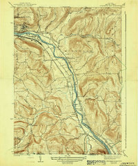
1935 Binghamton West
Broome County, NY

1935 Chenango Forks
Broome County, NY

1937 Binghamton East
Broome County, NY
1942 Binghamton East
Broome County, NY

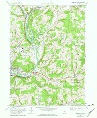
1942 Binghamton West
Broome County, NY
1942 Castle Creek
Broome County, NY
1942 Chenango Forks
Broome County, NY
1949 Lisle
Broome County, NY

1950 Chenango Forks
Broome County, NY

1951 Lisle
Broome County, NY
1952 Gulf Summit
Broome County, NY
1952 Windsor
Broome County, NY
1956 Maine
Broome County, NY
1957 Afton
Broome County, NY

1957 Belden
Broome County, NY

1960 Chenango Forks
Broome County, NY

1961 Binghamton East
Broome County, NY

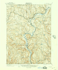
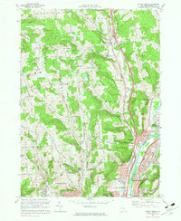
1961 Binghamton West
Broome County, NY

1961 Castle Creek
Broome County, NY
1965 Deposit
Broome County, NY
1968 Binghamton East
Broome County, NY
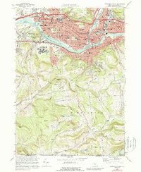
1968 Binghamton West
Broome County, NY
1968 Castle Creek
Broome County, NY
1968 Chenango Forks
Broome County, NY
1969 Maine
Broome County, NY