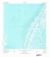
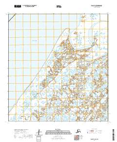
1952 Map of Black A-2
USGS Topo · Published 1973About this map
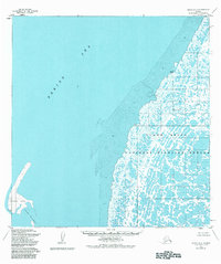
Melatolik and the neighboring Bimiut (Site) anchor the coastal fringe of this landscape where the tundra meets the Bering Sea. Photographed in 1951 and field annotated in 1952, the map depicts an intricate mosaic of hundreds of small lakes and ponds that define the delta region of Melatolik Creek. This hydrographic pattern reveals a low-lying environment dominated by expansive mud flats and seasonal wetlands. Offshore, Krekatok Island and the Sand Islands provide a buffer against the open waters of Norton Sound, illustrating the shifting coastal geography of the Alaskan shoreline during the mid-twentieth century. The mapping of specific sites like Bimiut provides a valuable reference for the historical presence of seasonal or permanent settlements in this remote maritime reach of the Yukon-Kuskokwim Delta.
Find a feature on this map
8 named features on this map. Tap any name to fly to it.
Don’t see what you’re looking for? This feature index may not catch every label — zoom into the map to look around manually.
Map Details
Editions of this 1952 Black A-2 Map
4 editions found
Other maps of this area

1951 · Hooper Bay
USGS Topo · 1:250,000

1951 · Black
USGS Topo · 1:250,000

1952 · Black A-2
USGS Topo · 1:63,360

1952 · Black A-1
USGS Topo · 1:63,360

1952 · Black B-1
USGS Topo · 1:63,360

1952 · Hooper Bay D-2
USGS Topo · 1:63,360

1953 · Hooper Bay
USGS Topo · 1:250,000
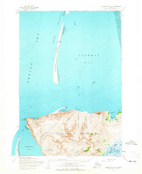
1953 · Hooper Bay D-3
USGS Topo · 1:63,360

1964 · Hooper Bay
USGS Topo · 1:250,000
2020 · Black B-1 SW
USGS Topo · 1:25,000