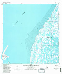
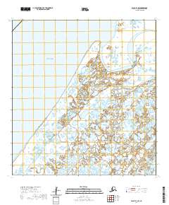
1952 Map of Black A-2
USGS Topo · Published 1984About this map
Bimiut sits along the tidal interface of the Yukon Delta on this 1952 survey, representing the intricate water-and-tundra landscape of western Alaska. The area is dominated by the sprawling Yukon Delta National Wildlife Refuge, where the Bering Sea meets a labyrinth of wetlands and small waterways. The mapping reveals a coastline defined by shifting mudflats and seasonal water bodies, including Melatolik Creek and the protective barrier of the Sand Islands.
Find a feature on this map
8 named features on this map. Tap any name to fly to it.
Don’t see what you’re looking for? This feature index may not catch every label — zoom into the map to look around manually.
Map Details
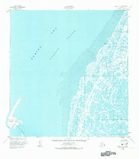
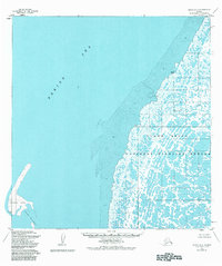
Editions of this 1952 Black A-2 Map
4 editions found
Other maps of this area

1951 · Hooper Bay
USGS Topo · 1:250,000

1951 · Black
USGS Topo · 1:250,000

1952 · Black A-2
USGS Topo · 1:63,360

1952 · Black A-1
USGS Topo · 1:63,360

1952 · Black B-1
USGS Topo · 1:63,360

1952 · Hooper Bay D-2
USGS Topo · 1:63,360

1953 · Hooper Bay
USGS Topo · 1:250,000
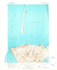
1953 · Hooper Bay D-3
USGS Topo · 1:63,360

1964 · Hooper Bay
USGS Topo · 1:250,000
2020 · Black B-1 SW
USGS Topo · 1:25,000