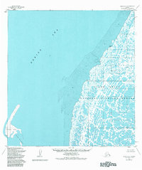
1952 Map of Black A-2
USGS Topo · Published 1984About this map
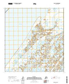
Bimiut and a lone Cabin stand as the only named markers of human habitation along this remote stretch of the Alaska coast in the early 1950s. The landscape is defined by the labyrinthine waterways of the Yukon Delta National Wildlife Refuge, where Melatolik Creek winds through a dense network of ponds and saturated tundra before reaching the Bering Sea. To the west, the Sand Islands and Krekatok Island emerge from the coastal shelf, surrounded by expansive tidal flats labeled simply as Mud. This survey illustrates a primitive environment where the boundary between land and water is constantly shifting, showing the region before modern infrastructure reached this part of the delta.
Find a feature on this map
8 named features on this map. Tap any name to fly to it.
Don’t see what you’re looking for? This feature index may not catch every label — zoom into the map to look around manually.
Map Details
Editions of this 1952 Black A-2 Map
4 editions found
Other maps of this area

1951 · Hooper Bay
USGS Topo · 1:250,000

1951 · Black
USGS Topo · 1:250,000

1952 · Black A-2
USGS Topo · 1:63,360

1952 · Black A-1
USGS Topo · 1:63,360

1952 · Black B-1
USGS Topo · 1:63,360

1952 · Hooper Bay D-2
USGS Topo · 1:63,360

1953 · Hooper Bay
USGS Topo · 1:250,000
1953 · Hooper Bay D-3
USGS Topo · 1:63,360

1964 · Hooper Bay
USGS Topo · 1:250,000
2020 · Black B-1 SW
USGS Topo · 1:25,000