
1958 Map of Blacksville
USGS Topo · Published 1962About this map
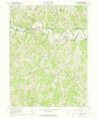
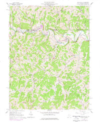
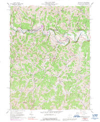
Dunkard Creek carves a winding path across this 1958 survey, serving as the geographic anchor for settlements like Blacksville and Pentress. The landscape is defined by the gas industry, with numerous gas wells dotting the ridges between drainages such as Days Run and Jakes Run. For genealogists, the map is remarkably dense with family burial sites, including the Strosnider, Tennant Memorial, and McCoy cemeteries. These landmarks, alongside local institutions like Jakes Run Sch and the Valley Chapel, provide a clear picture of the rural social structure in Monongalia County and across the state line in Pennsylvania. Notable terrain features such as Minnie Knob and Fort Knob rise above the complex network of hollows, while mid-century cultural additions like a Drive-in Theater and Golf Course near Maidsville mark the transition toward more modern recreational land use.
Find a feature on this map
76 named features on this map. Tap any name to fly to it.
Don’t see what you’re looking for? This feature index may not catch every label — zoom into the map to look around manually.
Map Details
Editions of this 1958 Blacksville Map
4 editions found
Other maps of this area

1901 · Waynesburg
USGS Topo · 1:62,500

1904 · Blacksville
USGS Topo · 1:62,500

1904 · Waynesburg
USGS Topo · 1:62,500

1905 · Mannington
USGS Topo · 1:62,500

1905 · Rogersville
USGS Topo · 1:62,500

1923 · Blacksville
USGS Topo · 1:62,500

1923 · Mannington
USGS Topo · 1:62,500

1925 · Blacksville
USGS Topo · 1:62,500

1926 · Mannington
USGS Topo · 1:62,500

1949 · Clarksburg
USGS Topo · 1:250,000