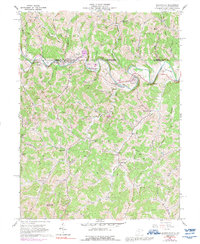
1958 Map of Blacksville
USGS Topo · Published 1992About this map
Blacksville and the surrounding borderlands of Monongalia County sit at the heart of this late-1950s survey, where the winding Dunkard Creek crosses back and forth over the Pennsylvania-West Virginia state line. The landscape is defined by its deep hollows and numerous family-named landmarks, reflecting generations of settlement along runs like Jakes Run and Days Run. These narrow valleys supported tight-knit communities such as Pentress and Daybrook, characterized by a high density of rural cemeteries and small schools like Blacks Sch.
Find a feature on this map
69 named features on this map. Tap any name to fly to it.
Don’t see what you’re looking for? This feature index may not catch every label — zoom into the map to look around manually.
Map Details
Editions of this 1958 Blacksville Map
4 editions found

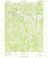
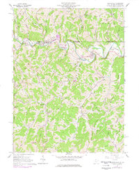
Other maps of this area

1901 · Waynesburg
USGS Topo · 1:62,500

1904 · Blacksville
USGS Topo · 1:62,500

1904 · Waynesburg
USGS Topo · 1:62,500

1905 · Mannington
USGS Topo · 1:62,500

1905 · Rogersville
USGS Topo · 1:62,500

1923 · Blacksville
USGS Topo · 1:62,500

1923 · Mannington
USGS Topo · 1:62,500

1925 · Blacksville
USGS Topo · 1:62,500

1926 · Mannington
USGS Topo · 1:62,500

1949 · Clarksburg
USGS Topo · 1:250,000