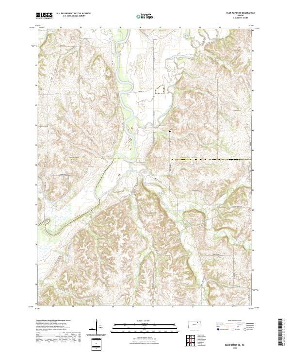
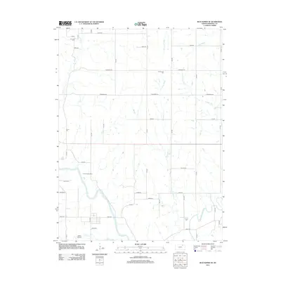
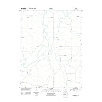
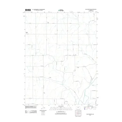
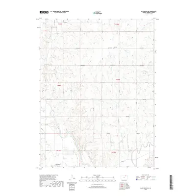
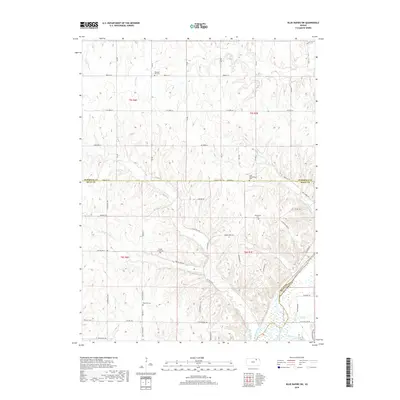
2022 Map of Blue Rapids SE
USGS Topo · Published 2022About this map
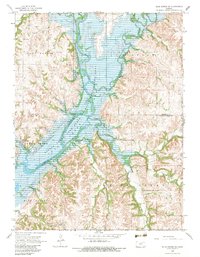
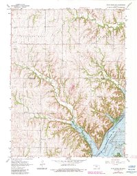
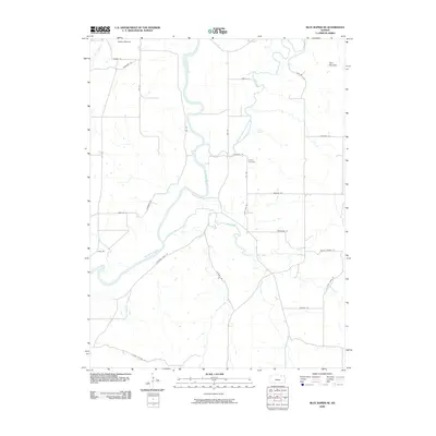
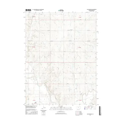
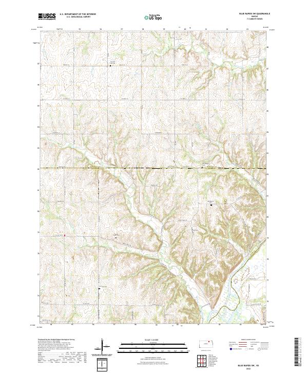
The confluence of major waterways dominates this Kansas landscape where the Big Blue River meets the Black Vermillion River. This survey captures the complex drainage patterns of the region, featuring numerous tributaries such as Spring Creek, Bluff Cr, and Shannon Creek that carve through the local topography. Evidence of early settlement and rural life is centered around landmarks like Proctor Cem and the distinctive Twin Mounds elevation. The map illustrates a transitional zone where the boundaries of Marshall, Riley, and Pottawatomie counties converge. A network of rural routes, including Parallel Rd and Mount Vernon Rd, provides a clear view of the modern land divisions and access points to the river valleys that have historically shaped this part of the state.
Find a feature on this map
48 named features on this map. Tap any name to fly to it.
Don’t see what you’re looking for? This feature index may not catch every label — zoom into the map to look around manually.
Map Details
Editions of this 2022 Blue Rapids SE Map
This is the sole edition of this map. No revisions or reprints were ever made.
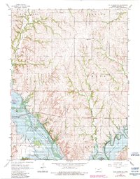
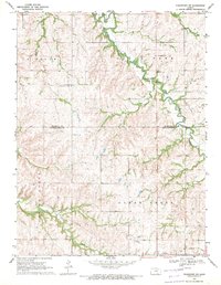
Historical Maps of Riley County Through Time
30 maps found
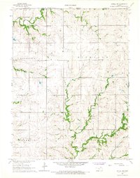
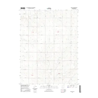
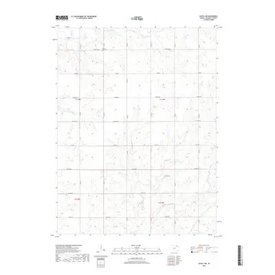
1966 Axtell NW
Marshall County, KS
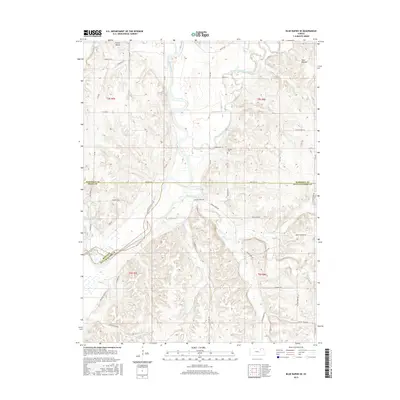
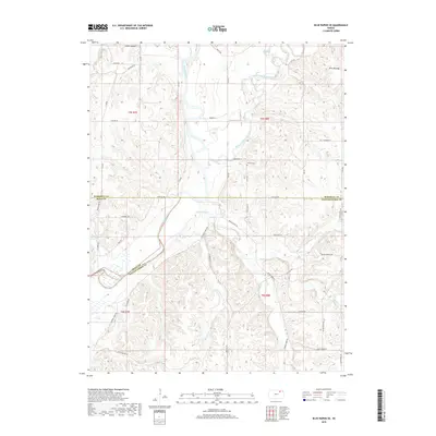
1968 Blue Rapids NE
Marshall County, KS
1968 Blue Rapids SE
Marshall County, KS
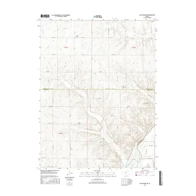
1968 Blue Rapids SW
Marshall County, KS
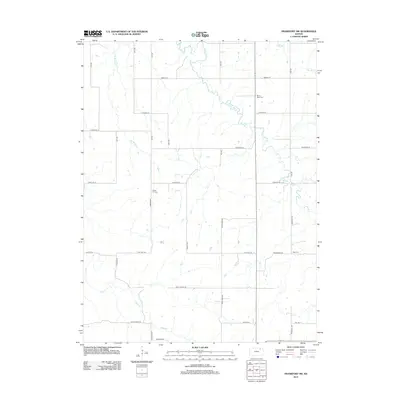
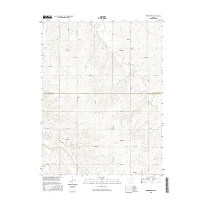
1969 Frankfort SW
Marshall County, KS
2009 Axtell NW
Marshall County, KS
2009 Blue Rapids NE
Marshall County, KS
2009 Blue Rapids SE
Marshall County, KS
2009 Blue Rapids SW
Marshall County, KS
2009 Frankfort SW
Marshall County, KS
2012 Axtell NW
Marshall County, KS
2012 Blue Rapids NE
Marshall County, KS
2012 Blue Rapids SE
Marshall County, KS
2012 Blue Rapids SW
Marshall County, KS
2012 Frankfort SW
Marshall County, KS
2015 Axtell NW
Marshall County, KS
2015 Blue Rapids NE
Marshall County, KS
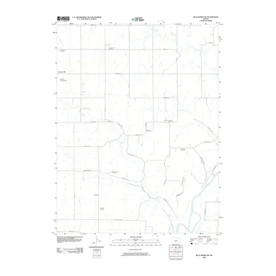
2015 Blue Rapids SE
Marshall County, KS
2015 Blue Rapids SW
Marshall County, KS
2016 Frankfort SW
Marshall County, KS
2018 Axtell NW
Marshall County, KS
2018 Blue Rapids NE
Marshall County, KS
2018 Blue Rapids SE
Marshall County, KS
2018 Blue Rapids SW
Marshall County, KS
2018 Frankfort SW
Marshall County, KS
2022 Axtell NW
Marshall County, KS
2022 Blue Rapids NE
Marshall County, KS
2022 Blue Rapids SE
Marshall County, KS
2022 Blue Rapids SW
Marshall County, KS
2022 Frankfort SW
Marshall County, KS