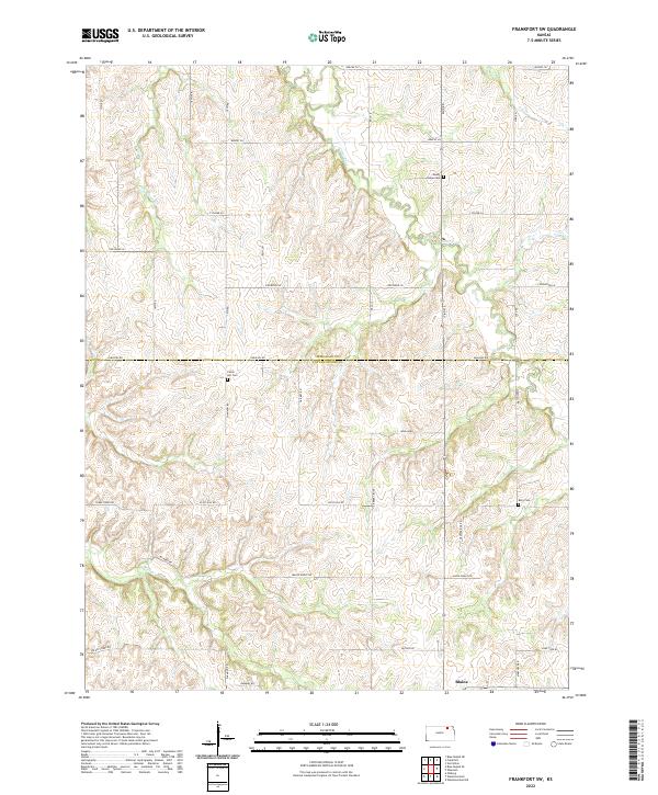
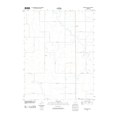
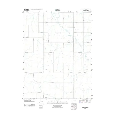
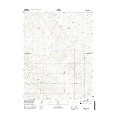
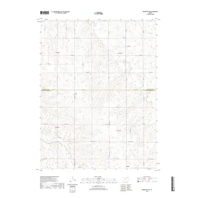
2022 Map of Frankfort SW
USGS Topo · Published 2022About this map
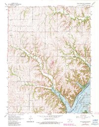
Blaine anchors the southern edge of this survey, situated at the jurisdictional boundary of Marshall Co Pottawatomie Co. The landscape is defined by the dendritic drainage patterns of the Clear Fork and Bluff Cr, where the terrain transitions between high divides and stream valleys. This area in rural Kansas retains a strong connection to its pioneer roots, visible in the preservation of several community burial grounds that serve as focal points for local history.
Find a feature on this map
40 named features on this map. Tap any name to fly to it.
Don’t see what you’re looking for? This feature index may not catch every label — zoom into the map to look around manually.
Map Details
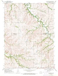
Editions of this 2022 Frankfort SW Map
This is the sole edition of this map. No revisions or reprints were ever made.
Historical Maps of Pottawatomie County Through Time
30 maps found
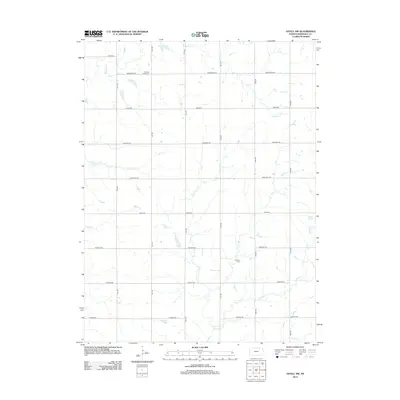
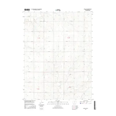
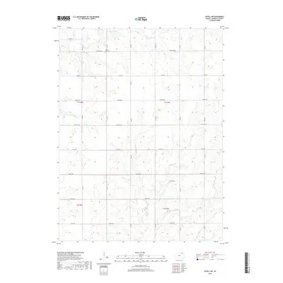
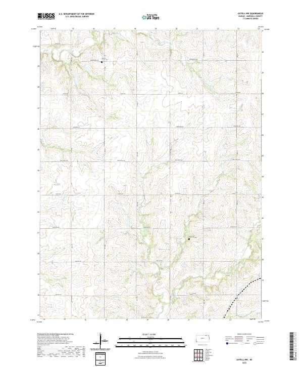
1966 Axtell NW
Marshall County, KS
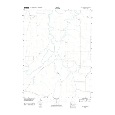
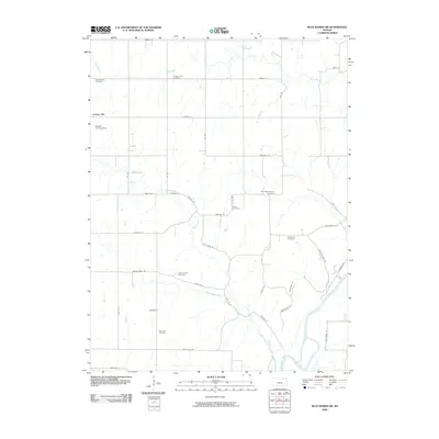
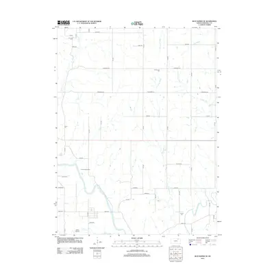
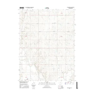
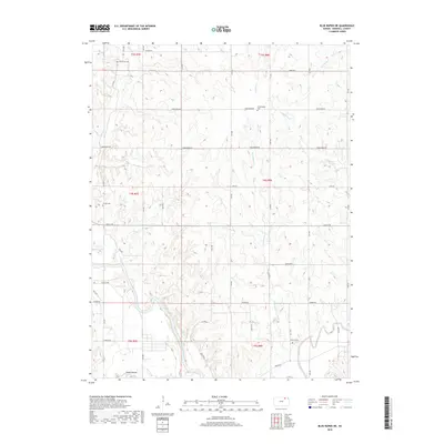
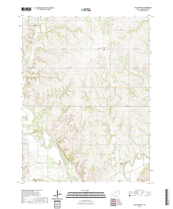
1968 Blue Rapids NE
Marshall County, KS
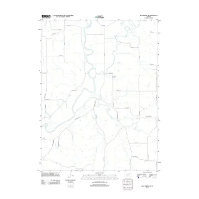
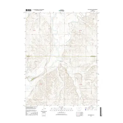
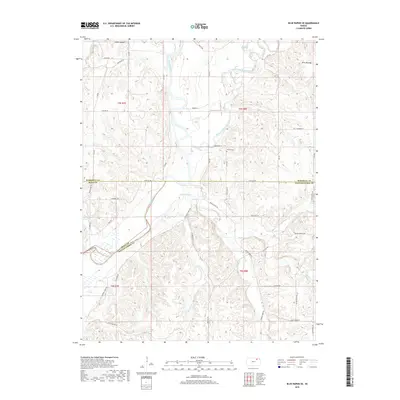
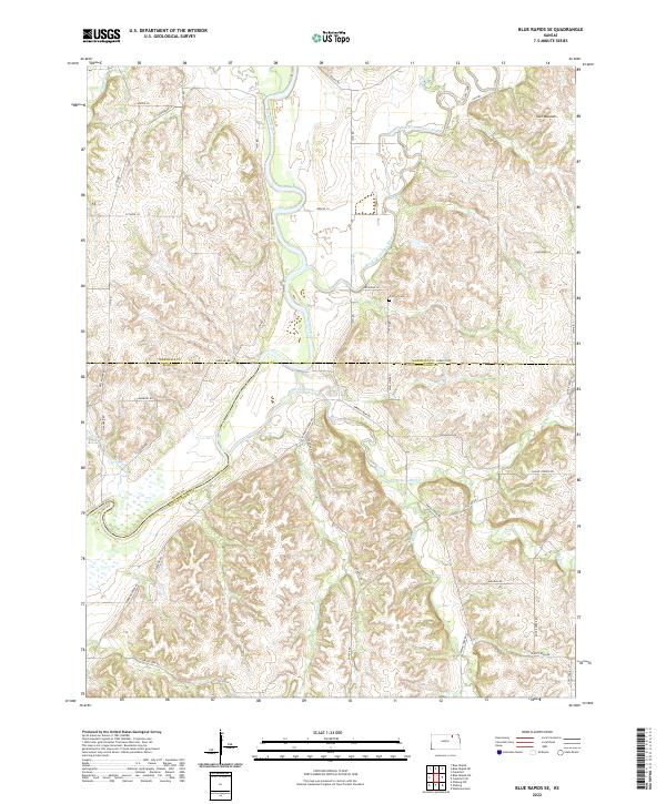
1968 Blue Rapids SE
Marshall County, KS
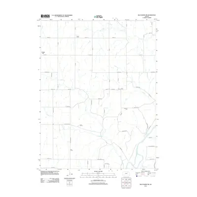
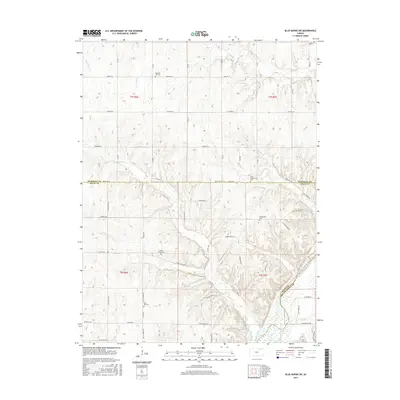
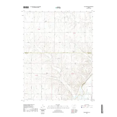
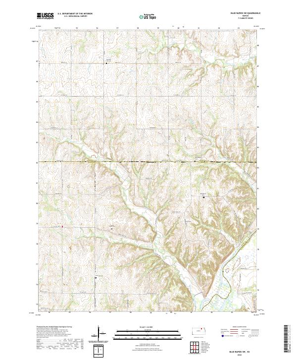
1968 Blue Rapids SW
Marshall County, KS
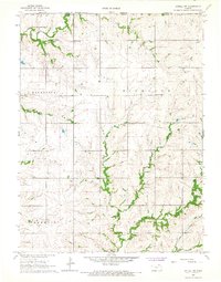
1969 Frankfort SW
Marshall County, KS
2009 Axtell NW
Marshall County, KS
2009 Blue Rapids NE
Marshall County, KS
2009 Blue Rapids SE
Marshall County, KS
2009 Blue Rapids SW
Marshall County, KS
2009 Frankfort SW
Marshall County, KS
2012 Axtell NW
Marshall County, KS
2012 Blue Rapids NE
Marshall County, KS
2012 Blue Rapids SE
Marshall County, KS
2012 Blue Rapids SW
Marshall County, KS
2012 Frankfort SW
Marshall County, KS
2015 Axtell NW
Marshall County, KS
2015 Blue Rapids NE
Marshall County, KS
2015 Blue Rapids SE
Marshall County, KS
2015 Blue Rapids SW
Marshall County, KS
2016 Frankfort SW
Marshall County, KS
2018 Axtell NW
Marshall County, KS
2018 Blue Rapids NE
Marshall County, KS
2018 Blue Rapids SE
Marshall County, KS
2018 Blue Rapids SW
Marshall County, KS
2018 Frankfort SW
Marshall County, KS
2022 Axtell NW
Marshall County, KS
2022 Blue Rapids NE
Marshall County, KS
2022 Blue Rapids SE
Marshall County, KS
2022 Blue Rapids SW
Marshall County, KS
2022 Frankfort SW
Marshall County, KS