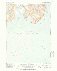
1952 Map of Blying Sound D-5
USGS Topo · Published 1954About this map
Excelsior Glacier descends from the icefields of the Kenai Peninsula, terminating near the coast where the mountains meet the Gulf of Alaska. This 1952 topographic survey reveals a wilderness defined by steep coastal relief and the transition from glacial ice to open ocean. The shoreline is punctuated by prominent landmarks such as Mt Fairfield and the distinctive Pinnacle Rock off Cape Fairfield.
Find a feature on this map
9 named features on this map. Tap any name to fly to it.
Don’t see what you’re looking for? This feature index may not catch every label — zoom into the map to look around manually.
Map Details
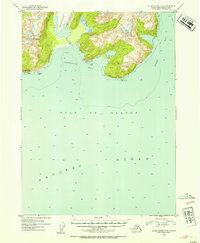
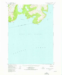
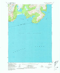
Editions of this 1952 Blying Sound D-5 Map
4 editions found
Other maps of this area

1946 · Blying Sound
USGS Topo · 1:250,000

1950 · Seward A-6
USGS Topo · 1:63,360

1950 · Blying Sound D-6
USGS Topo · 1:63,360

1950 · Blying Sound D-4
USGS Topo · 1:63,360

1950 · Blying Sound D-5
USGS Topo · 1:63,360

1951 · Blying Sound
USGS Topo · 1:250,000

1951 · Seward
USGS Topo · 1:250,000

1951 · Seward A-6
USGS Topo · 1:63,360

1951 · Seward A-5
USGS Topo · 1:63,360

1951 · Seward A-4
USGS Topo · 1:63,360