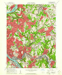
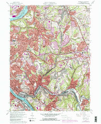
1960 Map of Braddock
USGS Topo · Published 1961About this map
Industrial corridors and postwar suburban expansion define the landscape of eastern Allegheny County as it transitioned during the mid-century era. The Monongahela River and Allegheny River serve as the primary anchors for heavy industry and transit, supporting dense rail networks like the Pennsylvania RR and Union RR. Between these river valleys, the map captures the rapid densification of neighborhoods such as Penn Hills, Monroeville, and Churchill.
Find a feature on this map
129 named features on this map. Tap any name to fly to it.
Don’t see what you’re looking for? This feature index may not catch every label — zoom into the map to look around manually.
Map Details
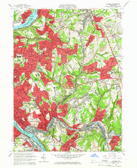
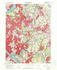
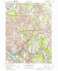
Editions of this 1960 Braddock Map
5 editions found
Other maps of this area

1904 · Mc Keesport
USGS Topo · 1:62,500

1904 · Greensburg
USGS Topo · 1:62,500

1906 · Greensburg
USGS Topo · 1:62,500

1907 · Pittsburg
USGS Topo · 1:62,500

1907 · Freeport
USGS Topo · 1:62,500

1908 · New Kensington
USGS Topo · 1:62,500

1909 · Freeport
USGS Topo · 1:62,500

1910 · New Kensington
USGS Topo · 1:62,500

1951 · Pittsburg East
USGS Topo · 1:24,000

1953 · Pittsburgh
USGS Topo · 1:250,000