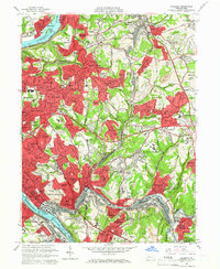
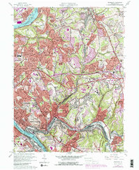
1960 Map of Braddock
USGS Topo · Published 1966About this map
The Allegheny River and Monongahela River dominate this 1960s landscape, framing a dense industrial and residential corridor east of Pittsburgh. The map documents the post-war suburban expansion into the hills of Penn Hills and Monroeville, where new developments like Garden City and Regency Park began to fill the spaces between established boroughs. Notable for its complex transportation network, the area is crisscrossed by major rail lines including the Pennsylvania RR and the Bessemer and Lake Erie RR, alongside the emerging path of the Pennsylvania Turnpike.
Find a feature on this map
135 named features on this map. Tap any name to fly to it.
Don’t see what you’re looking for? This feature index may not catch every label — zoom into the map to look around manually.
Map Details
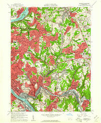
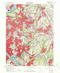
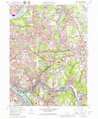
Editions of this 1960 Braddock Map
5 editions found
Other maps of this area

1904 · Mc Keesport
USGS Topo · 1:62,500

1904 · Greensburg
USGS Topo · 1:62,500

1906 · Greensburg
USGS Topo · 1:62,500

1907 · Pittsburg
USGS Topo · 1:62,500

1907 · Freeport
USGS Topo · 1:62,500

1908 · New Kensington
USGS Topo · 1:62,500

1909 · Freeport
USGS Topo · 1:62,500

1910 · New Kensington
USGS Topo · 1:62,500

1951 · Pittsburg East
USGS Topo · 1:24,000

1953 · Pittsburgh
USGS Topo · 1:250,000