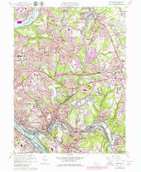
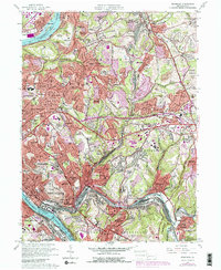
1960 Map of Braddock
USGS Topo · Published 1979About this map
The Allegheny River and Monongahela River frame this densely developed industrial landscape east of Pittsburgh, where the heavy rail infrastructure of the Union Railroad and Conrail serves the valley floors. Settlement patterns here follow the steep topography, with older industrial cores like Braddock, North Braddock, and Turtle Creek nestled near the riverbanks while mid-century suburban expansion climbs into Shannon Heights and Monroe Heights.
Find a feature on this map
94 named features on this map. Tap any name to fly to it.
Don’t see what you’re looking for? This feature index may not catch every label — zoom into the map to look around manually.
Map Details
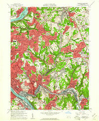
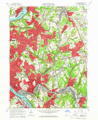
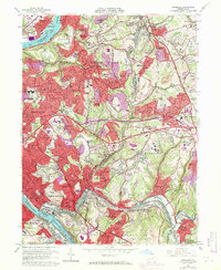
Editions of this 1960 Braddock Map
5 editions found
Other maps of this area

1904 · Mc Keesport
USGS Topo · 1:62,500

1904 · Greensburg
USGS Topo · 1:62,500

1906 · Greensburg
USGS Topo · 1:62,500

1907 · Pittsburg
USGS Topo · 1:62,500

1907 · Freeport
USGS Topo · 1:62,500

1908 · New Kensington
USGS Topo · 1:62,500

1909 · Freeport
USGS Topo · 1:62,500

1910 · New Kensington
USGS Topo · 1:62,500

1951 · Pittsburg East
USGS Topo · 1:24,000

1953 · Pittsburgh
USGS Topo · 1:250,000