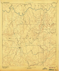
1894 Map of Brady
USGS Topo · Published 1906About this map
Brady serves as the central hub of this Central Texas landscape, situated at the convergence of several regional wagon roads that connect the ranchlands of McCulloch County to surrounding districts. Surveyed in 1886, the map reveals a sparsely settled frontier where early communities like Waldrip, Pueblo, and Milburn are positioned near the life-giving waters of the Colorado River in the north. The terrain is defined by the prominent Brady Mountains and specific landmarks like Lookout Mountain and Onion Gap, which likely served as crucial navigational markers for early travelers and cattle drivers. To the south, the San Saba River passes near Voca, anchoring a landscape of intermittent creeks and draws. This document illustrates the era before extensive fencing and rail lines transformed the region, highlighting a network of small settlements such as Cowboy and Rochelle that supported the burgeoning livestock economy.
Find a feature on this map
37 named features on this map. Tap any name to fly to it.
Don’t see what you’re looking for? This feature index may not catch every label — zoom into the map to look around manually.
Map Details
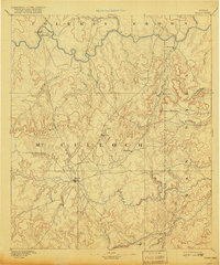
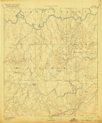
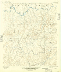
Editions of this 1894 Brady Map
5 editions found
Other maps of this area

1885 · San Saba
USGS Topo · 1:125,000

1887 · Llano
USGS Topo · 1:125,000

1887 · Mason
USGS Topo · 1:125,000

1887 · Coleman
USGS Topo · 1:125,000

1889 · Brownwood
USGS Topo · 1:125,000

1889 · Coleman
USGS Topo · 1:125,000

1892 · Eden
USGS Topo · 1:125,000

1892 · Ballinger
USGS Topo · 1:125,000

1894 · Brady
USGS Topo · 1:125,000

1894 · Mason
USGS Topo · 1:125,000