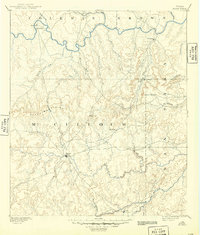
1894 Map of Brady
USGS Topo · Published 1949About this map
The Colorado River and San Saba River define the northern and southern boundaries of this late-19th-century survey, capturing a central Texas landscape defined by cattle country and river crossings. At the center of the region sits Brady, serving as a nascent hub for McCulloch County. The survey reveals a terrain of dramatic relief, marked by the Brady Mountains and the distinct pass at Onion Gap. Settlements are sparse and often tied to the water, with places like Waldrip, Pueblo, and Milburn situated along the Colorado. The network of drainage, including Brady Creek and Onion Creek, dictates the movement across the hills. This era represents the transition from frontier open range to more established ranching communities, seen in the emergence of small outposts like Cowboy and Rochelle.
Find a feature on this map
34 named features on this map. Tap any name to fly to it.
Don’t see what you’re looking for? This feature index may not catch every label — zoom into the map to look around manually.
Map Details
Editions of this 1894 Brady Map
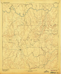
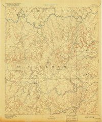
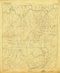
5 editions found
Other maps of this area

1885 · San Saba
USGS Topo · 1:125,000

1887 · Llano
USGS Topo · 1:125,000

1887 · Mason
USGS Topo · 1:125,000

1887 · Coleman
USGS Topo · 1:125,000

1889 · Brownwood
USGS Topo · 1:125,000

1889 · Coleman
USGS Topo · 1:125,000

1892 · Eden
USGS Topo · 1:125,000

1892 · Ballinger
USGS Topo · 1:125,000

1894 · Brady
USGS Topo · 1:125,000

1894 · Mason
USGS Topo · 1:125,000