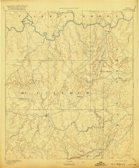
1894 Map of Brady
USGS Topo · Published 1920About this map
The Colorado River and San Saba River define the northern and southern bounds of this late 19th-century frontier landscape, centered on the growing seat of Brady. This 1886 survey captures the area just as the cattle-driven economy was settling into permanent townships. The Brady Mountains and Lookout Mountain provide the primary vertical relief in a region carved by dozens of seasonal watercourses like Richland Creek and Onion Creek. The settlement pattern is sparse but distinct, featuring small outposts such as Waldrip, Pueblo, and Milburn along the river banks, while Rochelle and Onion Gap mark the interior transition toward the San Saba valley. These early roads and water-focused settlements offer a clear view of central Texas before the arrival of modern infrastructure, showing the original placement of small ranching communities like Cowboy and Voca.
Find a feature on this map
33 named features on this map. Tap any name to fly to it.
Don’t see what you’re looking for? This feature index may not catch every label — zoom into the map to look around manually.
Map Details
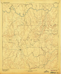
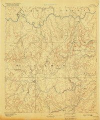
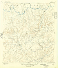
Editions of this 1894 Brady Map
5 editions found
Other maps of this area

1885 · San Saba
USGS Topo · 1:125,000

1887 · Llano
USGS Topo · 1:125,000

1887 · Mason
USGS Topo · 1:125,000

1887 · Coleman
USGS Topo · 1:125,000

1889 · Brownwood
USGS Topo · 1:125,000

1889 · Coleman
USGS Topo · 1:125,000

1892 · Eden
USGS Topo · 1:125,000

1892 · Ballinger
USGS Topo · 1:125,000

1894 · Brady
USGS Topo · 1:125,000

1894 · Mason
USGS Topo · 1:125,000