
2023 Map of Broadalbin
USGS Topo · Published 2023About this map
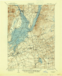
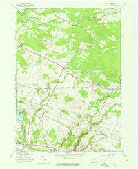
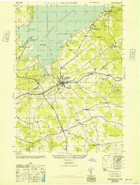
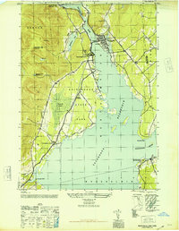
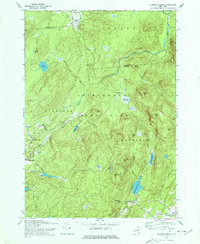
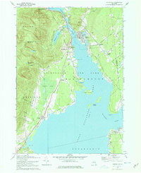
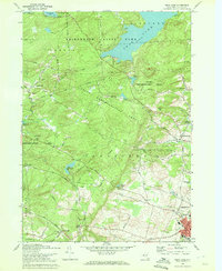
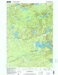
Great Sacandaga Lake dominates the northern landscape of this region, its irregular shoreline creating prominent points such as Kunkel Point and Vandenburgh Point. The settlement of Broadalbin serves as a central hub, surrounded by smaller hamlets and named intersections that speak to the area’s agricultural and milling history, including Union Mills, Vail Mills, and Stever Mill. These names suggest a legacy of water-powered industry along waterways like Kennyetto Creek and Beaver Creek.
Find a feature on this map
112 named features on this map. Tap any name to fly to it.
Don’t see what you’re looking for? This feature index may not catch every label — zoom into the map to look around manually.
Map Details
Editions of this 2023 Broadalbin Map
This is the sole edition of this map. No revisions or reprints were ever made.
Historical Maps of Perth Through Time
32 maps found

1899 Broadalbin
Fulton County, NY

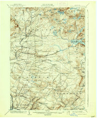
1901 Lassellsville
Fulton County, NY
1902 Broadalbin
Fulton County, NY
1903 Lassellsville
Fulton County, NY
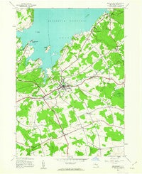
1945 Broadalbin
Fulton County, NY
1945 Canada Lake
Fulton County, NY
1945 Jackson Summit
Fulton County, NY

1945 Lassellsville
Fulton County, NY
1945 Lassellsville
Fulton County, NY

1945 Northville
Fulton County, NY
1945 Oppenheim
Fulton County, NY
1945 Stratford
Fulton County, NY
1946 Broadalbin
Fulton County, NY
1946 Canada Lake
Fulton County, NY
1946 Jackson Summit
Fulton County, NY
1946 Lassellsville
Fulton County, NY
1946 Northville
Fulton County, NY
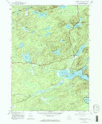
1946 Peck Lake
Fulton County, NY
1962 Peck Lake
Fulton County, NY
1970 Broadalbin
Fulton County, NY
1970 Jackson Summit
Fulton County, NY
1970 Northville
Fulton County, NY
1970 Peck Lake
Fulton County, NY
1997 Canada Lake
Fulton County, NY
2023 Broadalbin
Fulton County, NY

2023 Canada Lake
Fulton County, NY

2023 Jackson Summit
Fulton County, NY

2023 Lassellsville
Fulton County, NY

2023 Northville
Fulton County, NY

2023 Oppenheim
Fulton County, NY

2023 Peck Lake
Fulton County, NY

2023 Stratford
Fulton County, NY