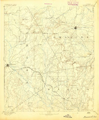
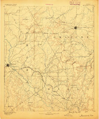
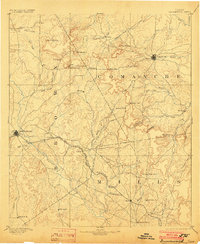
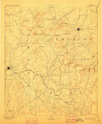
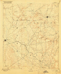
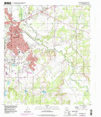
1894 Map of Brownwood
USGS Topo · Published 1903About this map
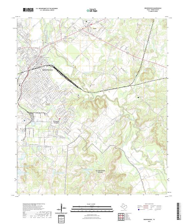
Brownwood and Comanche serve as the primary anchors of this late 19th-century Central Texas landscape. The region's development is defined by the Gulf Colorado and Santa Fe Railroad, which cuts a diagonal path through the terrain, connecting the budding hub of Brownwood to smaller outposts like Zephyr and Mullen. Away from the rail line, the map preserves the locations of older frontier settlements such as Williams Ranch and Hydesport, which were already beginning to see their prominence shift as transportation patterns evolved.
Find a feature on this map
62 named features on this map. Tap any name to fly to it.
Don’t see what you’re looking for? This feature index may not catch every label — zoom into the map to look around manually.
Map Details
Editions of this 1894 Brownwood Map
6 editions found
Historical Maps of Brownwood Through Time
10 maps found

1889 Brownwood
Brown County, TX
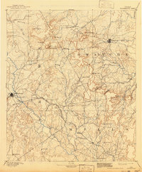
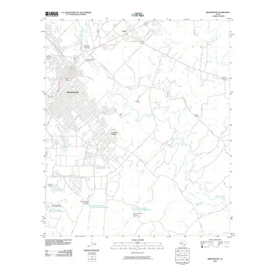
1894 Brownwood
Brown County, TX
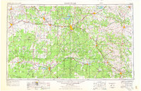
1954 Brownwood
Brown County, TX
1980 Brownwood
Brown County, TX
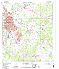
1996 Brownwood
Brown County, TX
2010 Brownwood
Brown County, TX
2013 Brownwood
Brown County, TX
2016 Brownwood
Brown County, TX
2019 Brownwood
Brown County, TX
2022 Brownwood
Brown County, TX