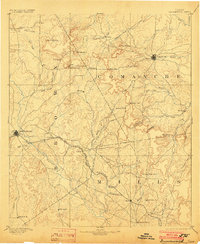
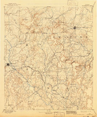
1894 Map of Brownwood
USGS Topo · Published 1910About this map
Brownwood and Comanche serve as the primary hubs in this late 19th-century landscape where Central Texas prairies meet the uplift of the Hog Mountains. The arrival of the Gulf Colorado and Santa Fe Railroad cuts a diagonal path through the terrain, fostering the growth of sidings and settlements like Zephyr and Blanket. While the rail line indicates a shift toward modern transport, the persistence of older nodes such as Williams Ranch and Newburg suggests a rural society still deeply connected to its creek-side homesteads and localized trade.
Find a feature on this map
63 named features on this map. Tap any name to fly to it.
Don’t see what you’re looking for? This feature index may not catch every label — zoom into the map to look around manually.
Map Details
Editions of this 1894 Brownwood Map
6 editions found

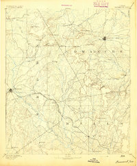
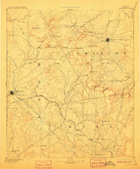
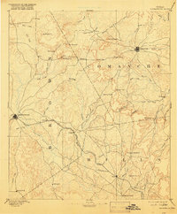
Other maps of this area

1885 · San Saba
USGS Topo · 1:125,000

1887 · Lampasas
USGS Topo · 1:125,000

1887 · Coleman
USGS Topo · 1:125,000

1888 · Hamilton
USGS Topo · 1:125,000

1889 · Brownwood
USGS Topo · 1:125,000

1889 · Coleman
USGS Topo · 1:125,000

1890 · Stephenville
USGS Topo · 1:125,000

1894 · Brady
USGS Topo · 1:125,000

1894 · Hamilton
USGS Topo · 1:125,000

1894 · Lampasas
USGS Topo · 1:125,000