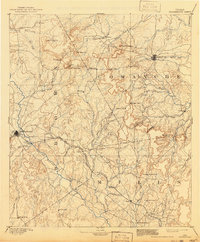
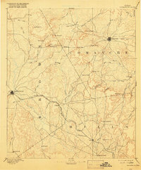
1894 Map of Brownwood
USGS Topo · Published 1941About this map
Brownwood and Comanche serve as the primary hubs in this late nineteenth-century reconnaissance of Central Texas, where the developing rail network of the Gulf Colorado and Santa Fe Railroad begins to reshape the frontier economy. The landscape is defined by the broad drainage of Pecan Bayou and numerous gaps through the rolling uplands, such as Logan Gap and Mercers Gap. Small settlements like Zephyr, Blanket, and Williams Ranch are established along early travel corridors and creek crossings, marking the transition from open range to more permanent cattle-and-cotton agriculture. The surveying work by Henry Gannett and C.H. Fitch captures a period when isolated outposts like Hydesport and Newburg still relied on local water sources like Sweetwater Creek and Leon River before the arrival of modern infrastructure altered the regional hydrology.
Find a feature on this map
64 named features on this map. Tap any name to fly to it.
Don’t see what you’re looking for? This feature index may not catch every label — zoom into the map to look around manually.
Map Details
Editions of this 1894 Brownwood Map
6 editions found

Other maps of this area

1885 · San Saba
USGS Topo · 1:125,000

1887 · Lampasas
USGS Topo · 1:125,000

1887 · Coleman
USGS Topo · 1:125,000

1888 · Hamilton
USGS Topo · 1:125,000

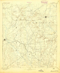
1889 · Brownwood
USGS Topo · 1:125,000

1889 · Coleman
USGS Topo · 1:125,000

1890 · Stephenville
USGS Topo · 1:125,000

1894 · Brady
USGS Topo · 1:125,000

1894 · Hamilton
USGS Topo · 1:125,000

1894 · Lampasas
USGS Topo · 1:125,000