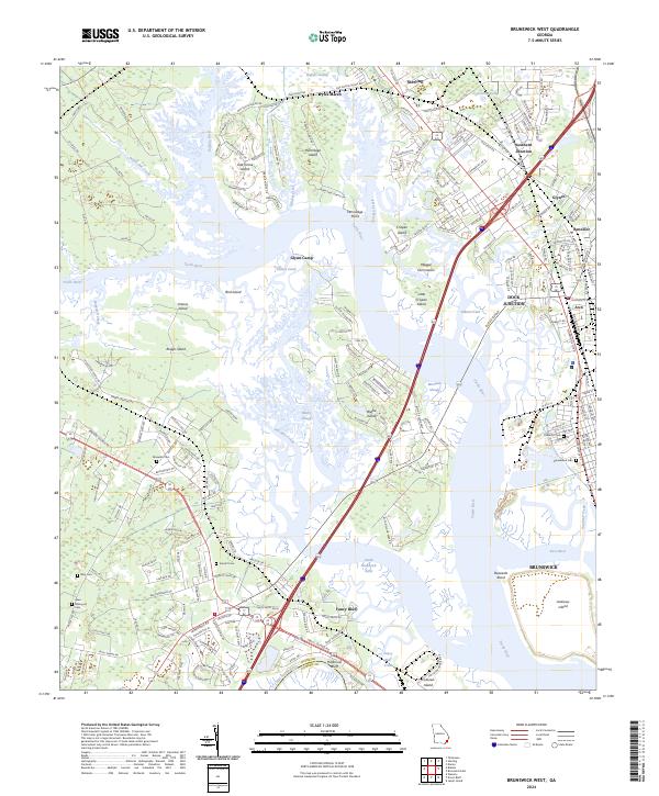
2024 Map of Brunswick West
USGS Topo · Published 2024About this map
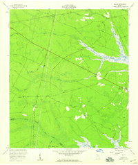
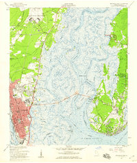
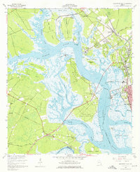
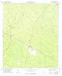
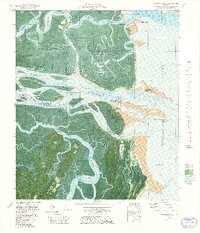
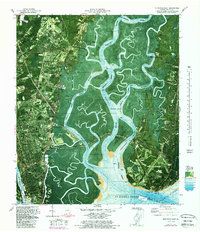
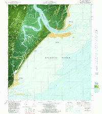
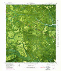
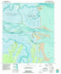
Pyles Marsh and the Buffalo River define the watery northern reaches of this coastal Georgia landscape, where tidal wetlands and low-lying islands fragment the terrain. The area is a complex network of estuarine features, including Hermitage Island and Blythe Island, separated by the wide curves of the Turtle River. This 2024 survey documents a region defined by its rail history and river-access points, with Southern Junction and Dock Junction marking key industrial transit hubs north of Brunswick.
Find a feature on this map
209 named features on this map. Tap any name to fly to it.
Don’t see what you’re looking for? This feature index may not catch every label — zoom into the map to look around manually.
Map Details
Editions of this 2024 Brunswick West Map
This is the sole edition of this map. No revisions or reprints were ever made.
Historical Maps of Fancy Bluff Through Time
28 maps found

1918 Bladen
Glynn County, GA

1918 Everett City
Glynn County, GA

1920 Everett City
Glynn County, GA
1939 Bladen
Glynn County, GA

1944 Everett City
Glynn County, GA
1954 Altamaha Sound
Glynn County, GA
1955 Sea Island
Glynn County, GA
1956 Bladen
Glynn County, GA
1956 Brunswick East
Glynn County, GA
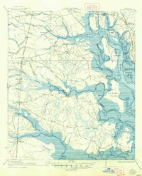
1956 Brunswick West
Glynn County, GA
1978 Thalmann
Glynn County, GA
1979 Altamaha Sound
Glynn County, GA
1979 Brunswick East
Glynn County, GA

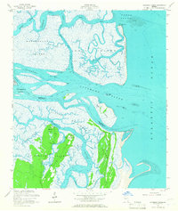
1979 Brunswick West
Glynn County, GA
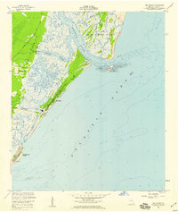
1979 Sea Island
Glynn County, GA
1980 Bladen
Glynn County, GA
1993 Altamaha Sound
Glynn County, GA
1993 Bladen
Glynn County, GA
1993 Brunswick East
Glynn County, GA
1993 Brunswick West
Glynn County, GA
1993 Sea Island
Glynn County, GA
1993 Thalmann
Glynn County, GA
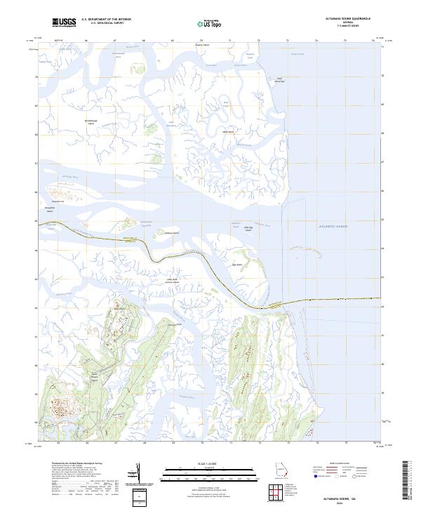
2024 Altamaha Sound
Glynn County, GA

2024 Bladen
Glynn County, GA
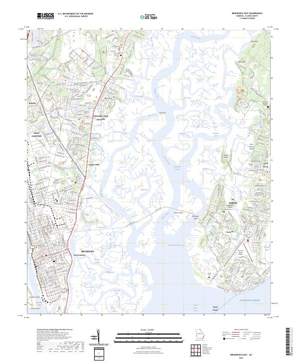
2024 Brunswick East
Glynn County, GA
2024 Brunswick West
Glynn County, GA
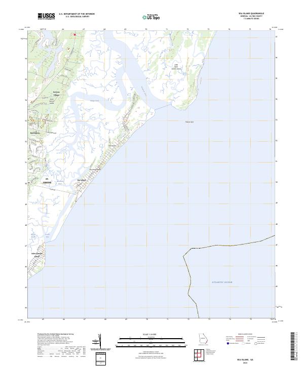
2024 Sea Island
Glynn County, GA
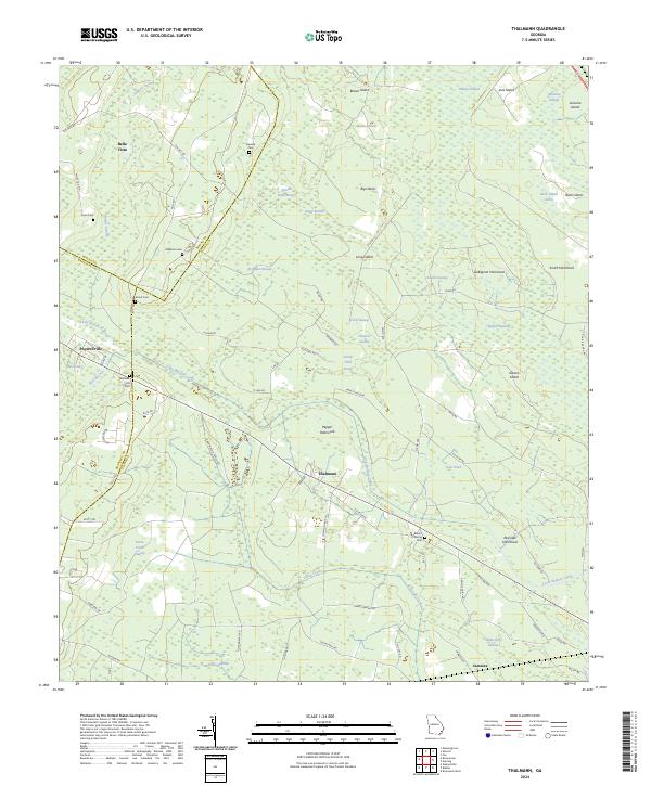
2024 Thalmann
Glynn County, GA