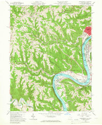
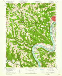
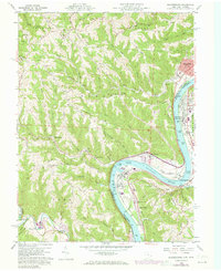
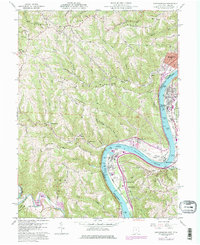
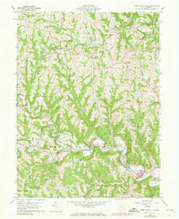
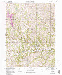
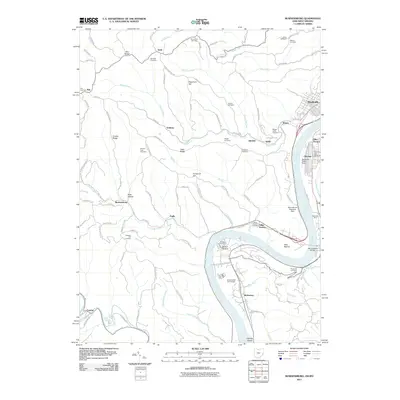
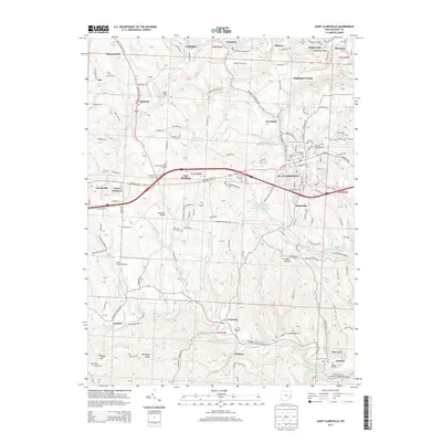
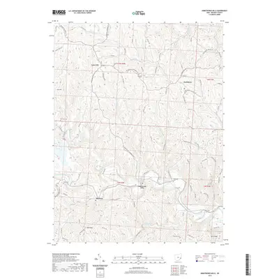
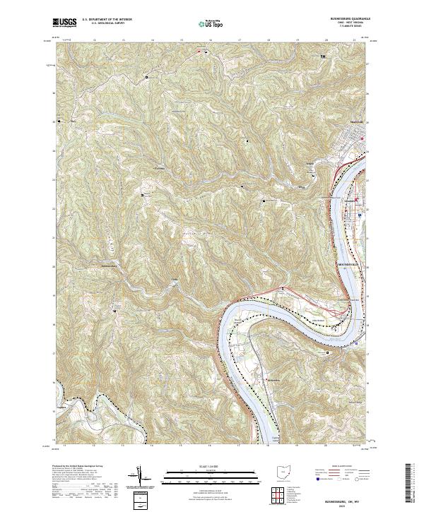
1960 Map of Businessburg
USGS Topo · Published 1966About this map
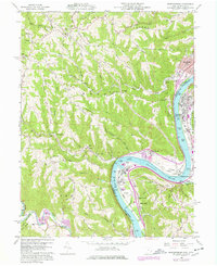
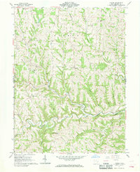
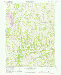
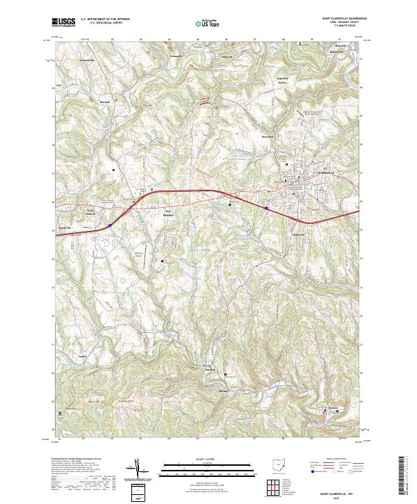
The Ohio River carves a deep valley through the borderlands of Belmont County and Marshall County, separating the industrial corridors of the river bottom from the ridgeland settlements above. This mid-century landscape is defined by the infrastructure of the Baltimore and Ohio and Pennsylvania railroads, which hug the shorelines near Shadyside and Glendale. Inland, the terrain rises sharply toward Hawthorn Ridge and Roberts Ridge, where small rural communities like Businessburg and Vallonia are situated among a network of cemeteries and local institutions. The presence of Strip Mines and a Gravel Pit indicates the active extraction industry of the era, while the Moundsville Golf Course and the Radio Tower (WMOD) reflect the mid-century development of the valley floor at McKeefrey and Dilles Bottom.
Find a feature on this map
46 named features on this map. Tap any name to fly to it.
Don’t see what you’re looking for? This feature index may not catch every label — zoom into the map to look around manually.
Map Details
Editions of this 1960 Businessburg Map
5 editions found
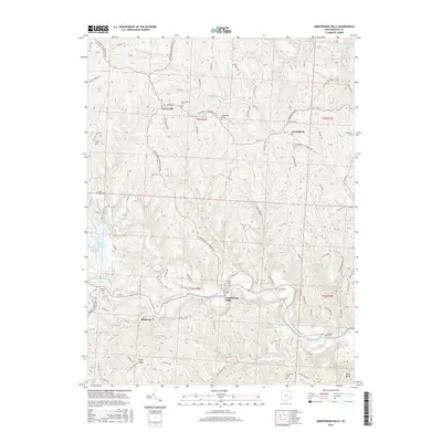
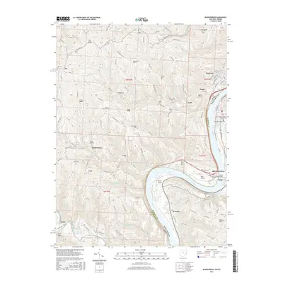
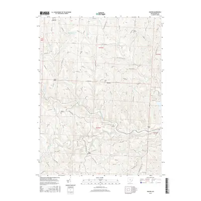
Historical Maps of Moundsville Through Time
25 maps found
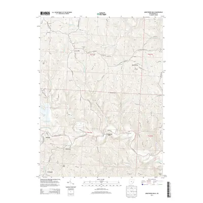
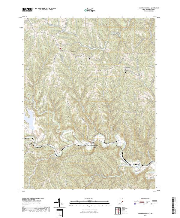
1960 Armstrongs Mills
Belmont County, OH
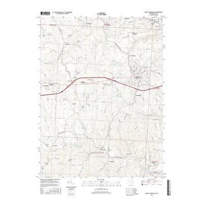
1960 Businessburg
Belmont County, OH
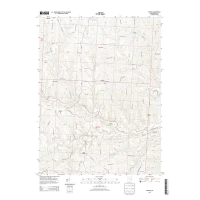
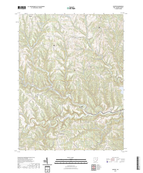
1961 Hunter
Belmont County, OH
1975 Hunter
Belmont County, OH
1994 Hunter
Belmont County, OH
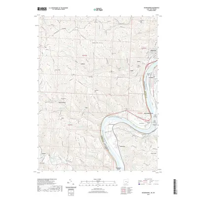
2010 Armstrongs Mills
Belmont County, OH
2010 Hunter
Belmont County, OH
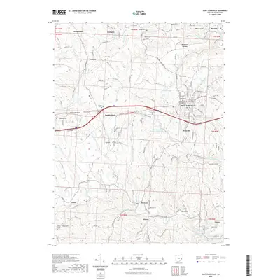
2010 Saint Clairsville
Belmont County, OH
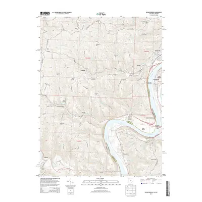
2011 Businessburg
Belmont County, OH
2013 Armstrongs Mills
Belmont County, OH
2013 Businessburg
Belmont County, OH
2013 Hunter
Belmont County, OH
2013 Saint Clairsville
Belmont County, OH
2016 Armstrongs Mills
Belmont County, OH
2016 Businessburg
Belmont County, OH
2016 Hunter
Belmont County, OH
2016 Saint Clairsville
Belmont County, OH
2019 Armstrongs Mills
Belmont County, OH
2019 Businessburg
Belmont County, OH
2019 Hunter
Belmont County, OH
2019 Saint Clairsville
Belmont County, OH
2023 Armstrongs Mills
Belmont County, OH
2023 Businessburg
Belmont County, OH
2023 Hunter
Belmont County, OH
2023 Saint Clairsville
Belmont County, OH