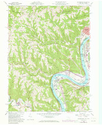
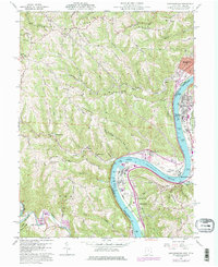
1960 Map of Businessburg
USGS Topo · Published 1973About this map
The Ohio River carves a dramatic S-curve between Belmont County, Ohio, and Marshall County, West Virginia, serving as the industrial and transit spine for this region during the mid-20th century. Major river-bottom developments like Round Bottom and Dille Bottom highlight the era's reliance on the waterway, featuring extensive infrastructure including tipples, mines, and water wells to support local industry. The riverbanks are dotted with significant settlements such as Shadyside, Glendale, and Moundsville, each connected by the Baltimore and Ohio and Penn Central railroads.
Find a feature on this map
93 named features on this map. Tap any name to fly to it.
Don’t see what you’re looking for? This feature index may not catch every label — zoom into the map to look around manually.
Map Details
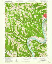
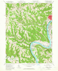
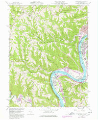
Editions of this 1960 Businessburg Map
5 editions found
Other maps of this area

1902 · Wheeling
USGS Topo · 1:62,500

1904 · Cameron
USGS Topo · 1:62,500

1905 · Clarington
USGS Topo · 1:62,500

1905 · St. Clairsville
USGS Topo · 1:62,500

1935 · Cameron
USGS Topo · 1:62,500

1935 · Clarington
USGS Topo · 1:62,500

1935 · Wheeling
USGS Topo · 1:62,500

1940 · Clarington
USGS Topo · 1:62,500

1942 · Cameron
USGS Topo · 1:62,500

1942 · Wheeling
USGS Topo · 1:62,500