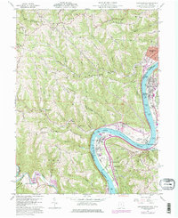
1960 Map of Businessburg
USGS Topo · Published 1977About this map
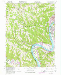
The Ohio River carves a deep valley between Belmont County, Ohio, and Marshall County, West Virginia, anchoring an industrial and rural landscape during the mid-1970s. Industrial infrastructure follows the river's edge, notably at Dilles Bottom and the riverside settlements of Moundsville and Glendale. This era is defined by the coexistence of traditional coal operations, including several strip mines and a vent shaft near Vallonia, alongside newer developments like the Moundsville Golf Course and a riverside drive-in theater.
Find a feature on this map
66 named features on this map. Tap any name to fly to it.
Don’t see what you’re looking for? This feature index may not catch every label — zoom into the map to look around manually.
Map Details
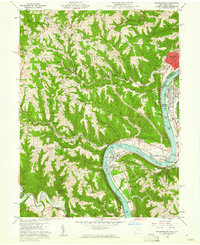
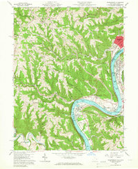
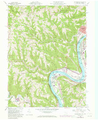
Editions of this 1960 Businessburg Map
5 editions found
Other maps of this area

1902 · Wheeling
USGS Topo · 1:62,500

1904 · Cameron
USGS Topo · 1:62,500

1905 · Clarington
USGS Topo · 1:62,500

1905 · St. Clairsville
USGS Topo · 1:62,500

1935 · Cameron
USGS Topo · 1:62,500

1935 · Clarington
USGS Topo · 1:62,500

1935 · Wheeling
USGS Topo · 1:62,500

1940 · Clarington
USGS Topo · 1:62,500

1942 · Cameron
USGS Topo · 1:62,500

1942 · Wheeling
USGS Topo · 1:62,500