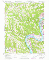
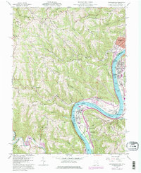
1960 Map of Businessburg
USGS Topo · Published 1977About this map
Ohio River industry and winding valley terrain define this mid-century survey of the borderlands between Ohio and West Virginia. The landscape is marked by steep ridges such as Cash Ridge and Horsemill Ridge, where rural life is anchored by landmarks like Bethel Ch and the Key Ridge Sch. Along the riverbanks, the presence of Strip Mines, a Substation, and the Wegee Railroad illustrate the heavy industrial and logistical importance of this corridor during the late 1950s and early 1960s.
Find a feature on this map
66 named features on this map. Tap any name to fly to it.
Don’t see what you’re looking for? This feature index may not catch every label — zoom into the map to look around manually.
Map Details
Editions of this 1960 Businessburg Map
5 editions found
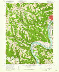
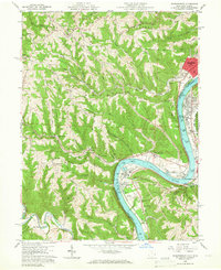
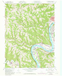
Other maps of this area

1902 · Wheeling
USGS Topo · 1:62,500

1904 · Cameron
USGS Topo · 1:62,500

1905 · Clarington
USGS Topo · 1:62,500

1905 · St. Clairsville
USGS Topo · 1:62,500

1935 · Cameron
USGS Topo · 1:62,500

1935 · Clarington
USGS Topo · 1:62,500

1935 · Wheeling
USGS Topo · 1:62,500

1940 · Clarington
USGS Topo · 1:62,500

1942 · Cameron
USGS Topo · 1:62,500

1942 · Wheeling
USGS Topo · 1:62,500