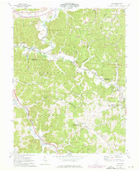
1961 Map of Byer
USGS Topo · Published 1976About this map
Leo Petroglyph State Memorial anchors the central landscape of this survey, which captures the intersection of Jackson and Vinton counties during a period of transition in the 1960s and 1970s. The Baltimore and Ohio railroad corridor follows the winding path of Salt Creek, connecting small communities like Ray and Byer. The rugged ridges, such as Tick Ridge and Log Pile Ridge, are heavily forested, with large portions designated as Wayne National Forest and Richland Furnace State Forest. Evidence of local industry is clear from the numerous Strip Mines and a Gravel Pit scattered across the township lines. Genealogists will find a wealth of family history preserved in remote burial grounds like Baker Cem, Dozer Cem, and the Log Pile Ch Cem, while the location of the Boy Scout Camp and the Pleasant Valley Sch reflect the mid-century community life of southern Ohio.
Find a feature on this map
64 named features on this map. Tap any name to fly to it.
Don’t see what you’re looking for? This feature index may not catch every label — zoom into the map to look around manually.
Map Details
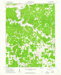
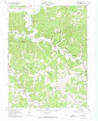
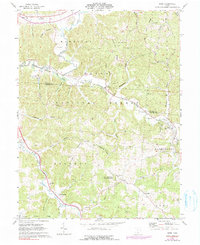
Editions of this 1961 Byer Map
4 editions found
Other maps of this area

1906 · Waverly
USGS Topo · 1:62,500

1906 · Chillicothe
USGS Topo · 1:62,500

1908 · Chillicothe
USGS Topo · 1:62,500

1908 · Waverly
USGS Topo · 1:62,500

1910 · Laurelville
USGS Topo · 1:62,500

1912 · Laurelville
USGS Topo · 1:62,500

1913 · Jackson
USGS Topo · 1:62,500

1944 · Jackson
USGS Topo · 1:62,500

1944 · Laurelville
USGS Topo · 1:62,500

1947 · Columbus
USGS Topo · 1:250,000