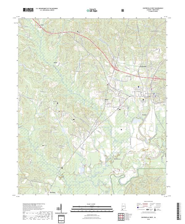
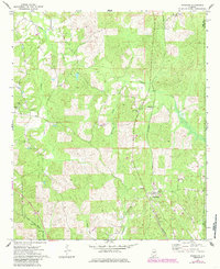
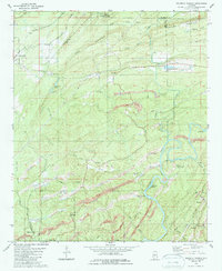
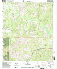
2024 Map of Centreville West
USGS Topo · Published 2024About this map
The Cahaba River winds through the heart of Bibb County, framing the twin communities of Centreville and Brent. This modern survey records the area's civil and natural landmarks, centered on the Bibb County Courthouse and the surrounding residential street grid. The landscape to the south and east transitions into the Talladega National Forest, while the northern reaches are marked by rural settlements such as Eoline and Ingate.
Find a feature on this map
129 named features on this map. Tap any name to fly to it.
Don’t see what you’re looking for? This feature index may not catch every label — zoom into the map to look around manually.
Map Details
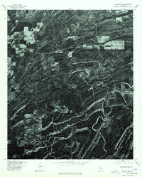
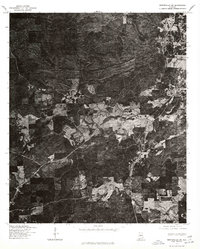
Editions of this 2024 Centreville West Map
This is the sole edition of this map. No revisions or reprints were ever made.
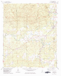
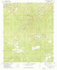
Historical Maps of Eoline Through Time
27 maps found
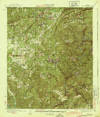
1934 Blocton
Bibb County, AL
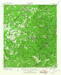
1940 Blocton
Bibb County, AL
1969 Pearson
Bibb County, AL
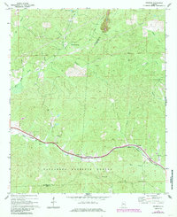
1971 Randolph
Bibb County, AL
1975 Blocton NE
Bibb County, AL
1975 Montevallo SW
Bibb County, AL
1979 Aldrich
Bibb County, AL
1979 Pondville
Bibb County, AL
1979 West Blocton West
Bibb County, AL
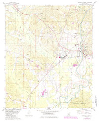
1980 Centreville East
Bibb County, AL
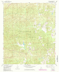
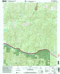
1980 Centreville West
Bibb County, AL
1980 Halfmile Shoals
Bibb County, AL
1980 West Blocton East
Bibb County, AL
2002 Centreville East
Bibb County, AL
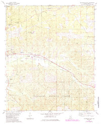
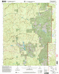
2002 Centreville West
Bibb County, AL
2002 Pearson
Bibb County, AL
2002 Pondville
Bibb County, AL
2002 Randolph
Bibb County, AL
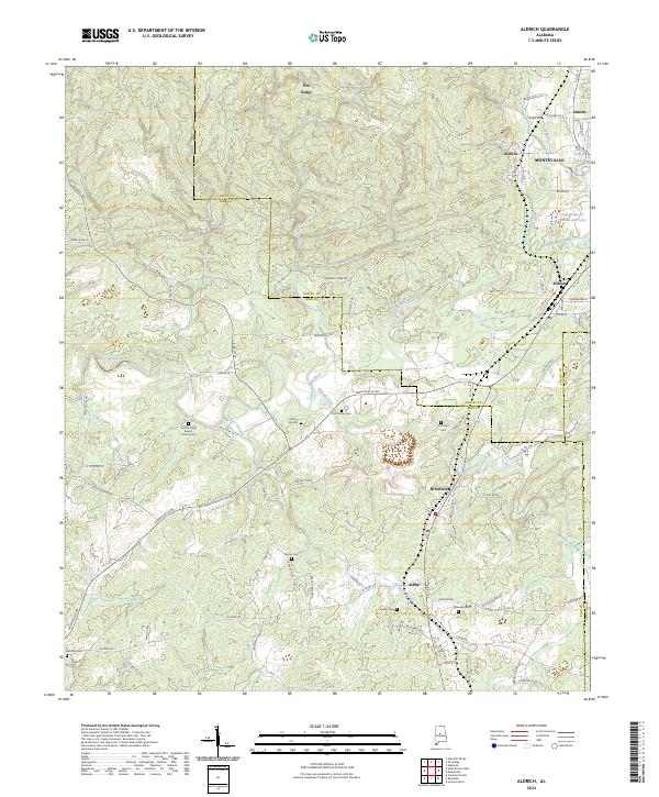
2024 Aldrich
Bibb County, AL
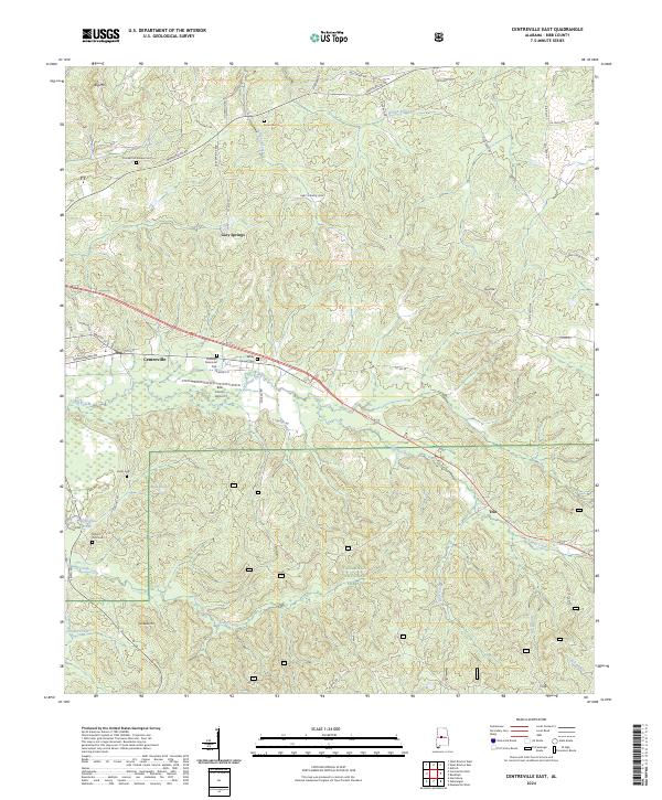
2024 Centreville East
Bibb County, AL
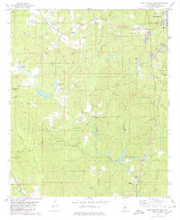
2024 Centreville West
Bibb County, AL
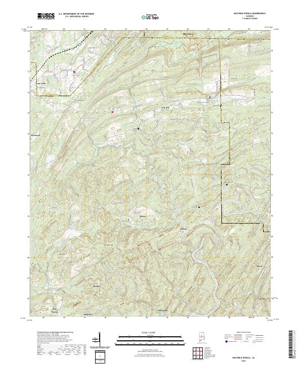
2024 Halfmile Shoals
Bibb County, AL
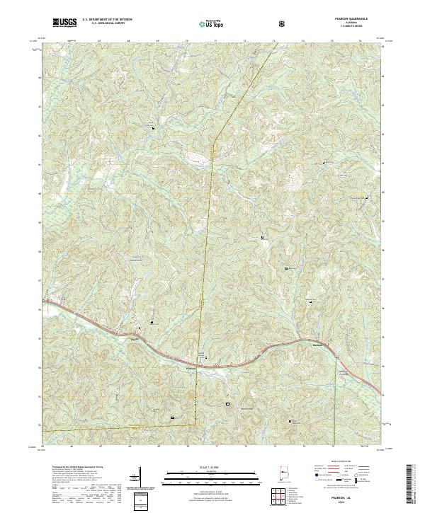
2024 Pearson
Bibb County, AL
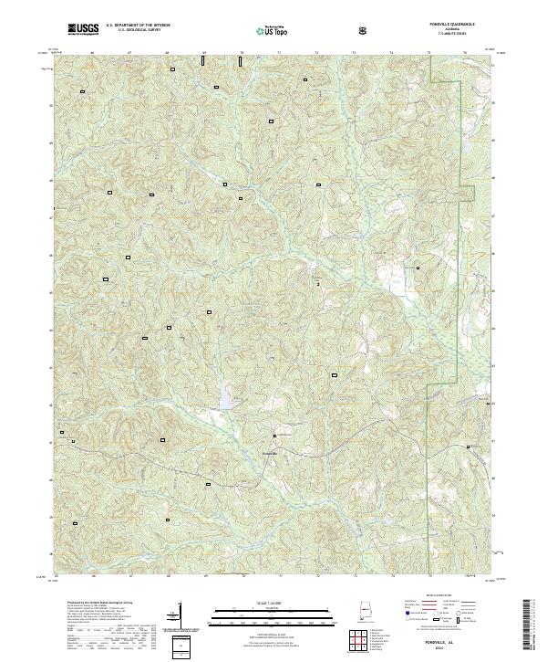
2024 Pondville
Bibb County, AL
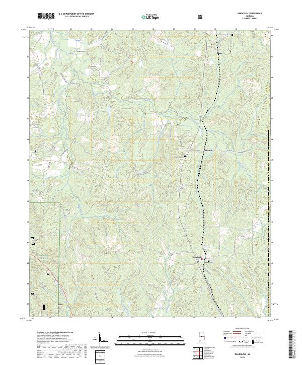
2024 Randolph
Bibb County, AL
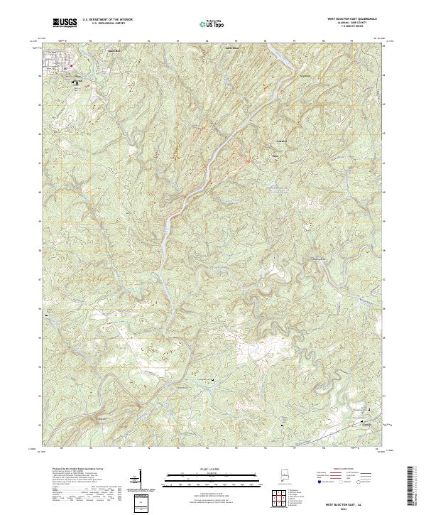
2024 West Blocton East
Bibb County, AL
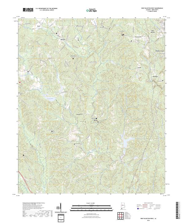
2024 West Blocton West
Bibb County, AL